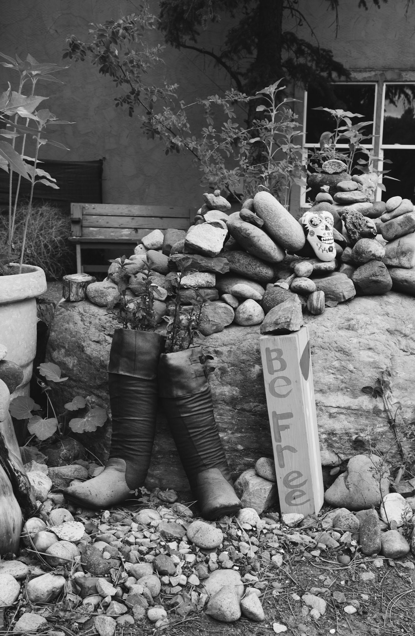
Gift to Mariah for Christmas.
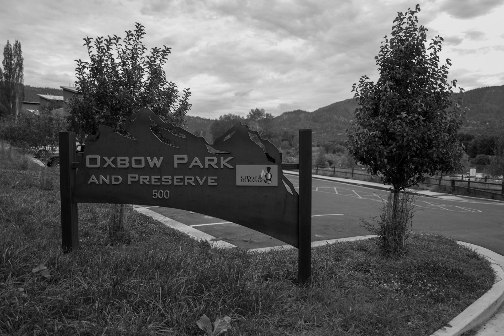
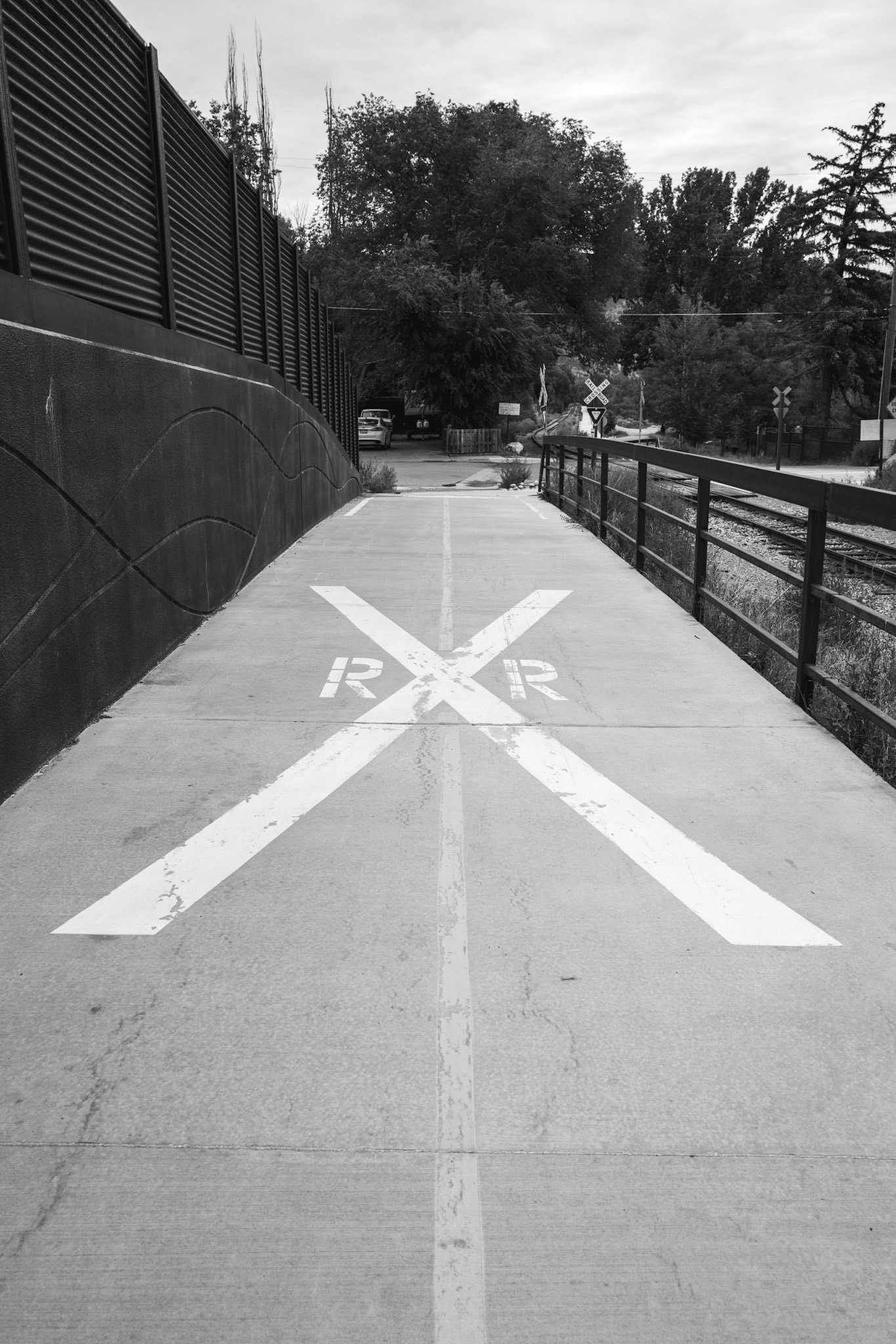
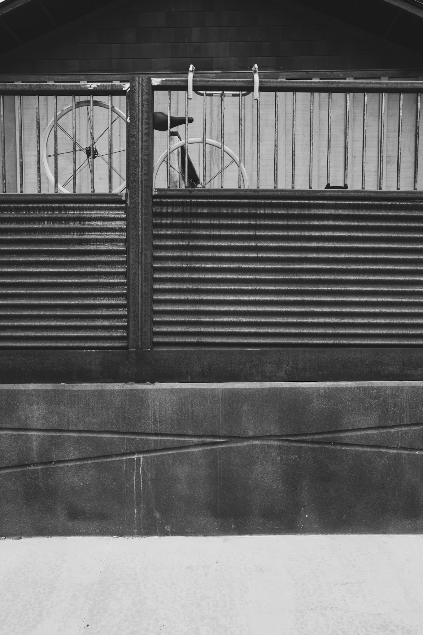
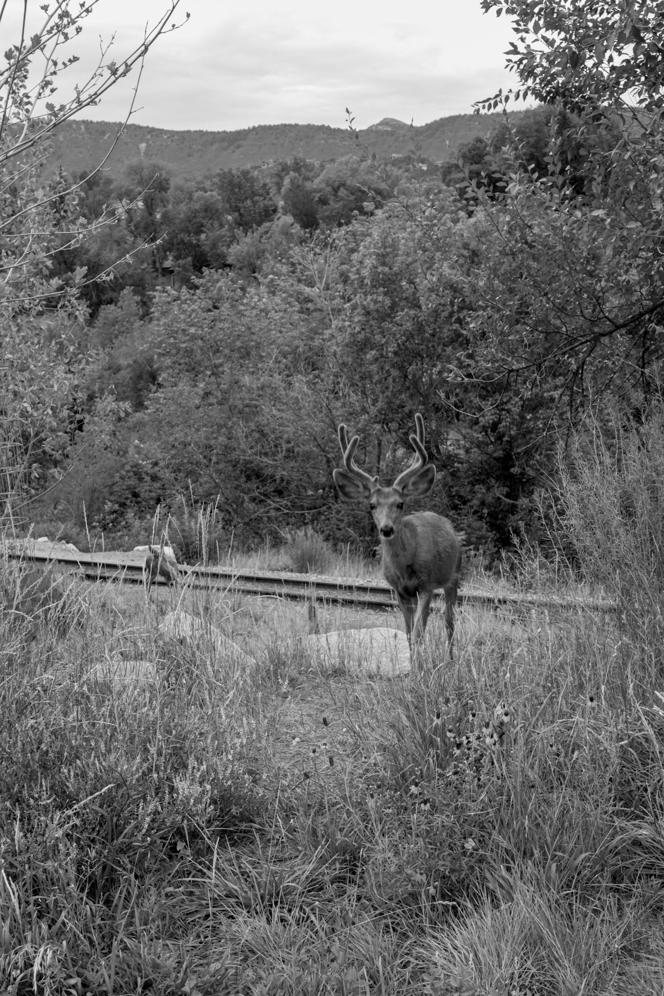
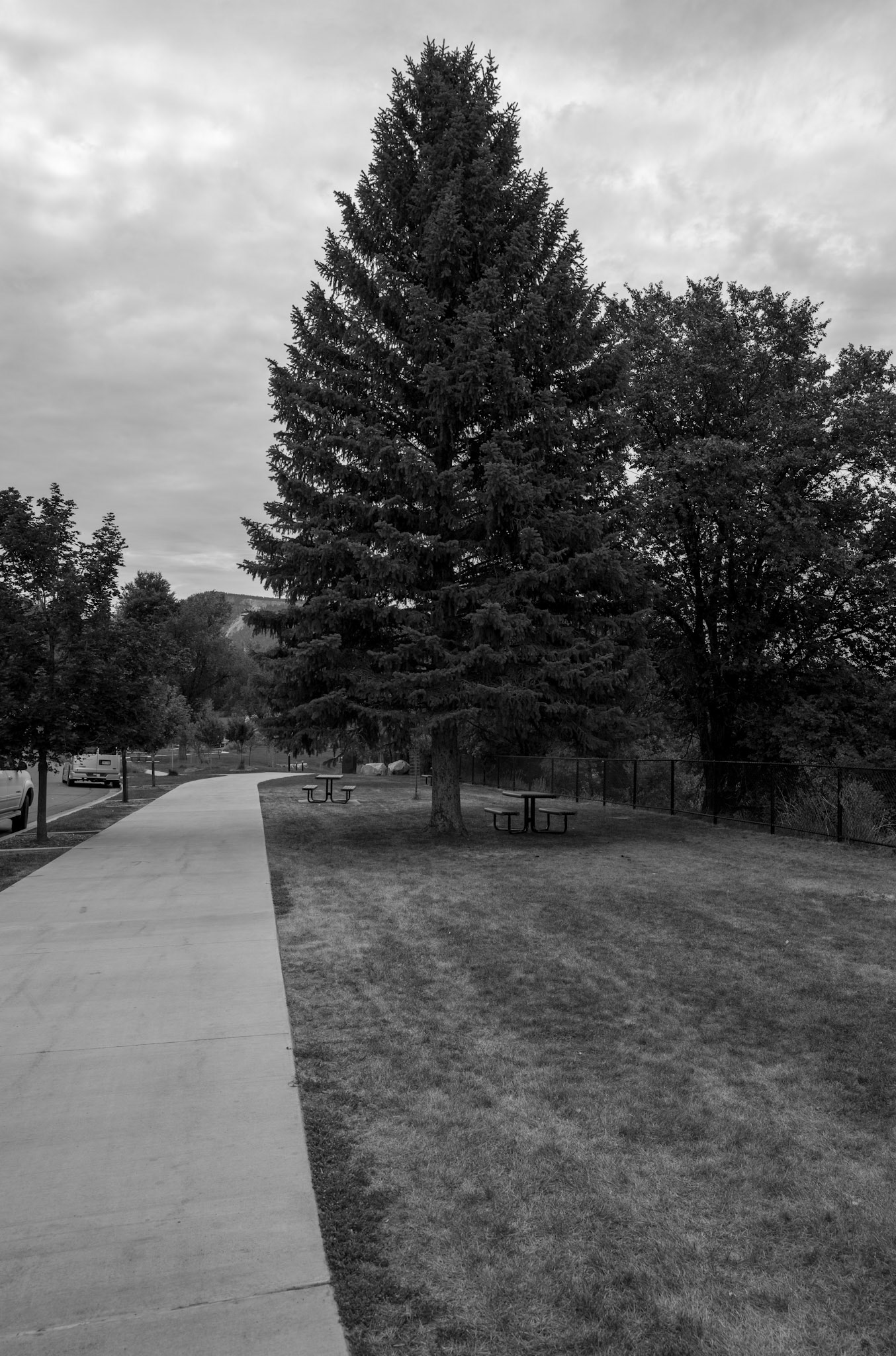
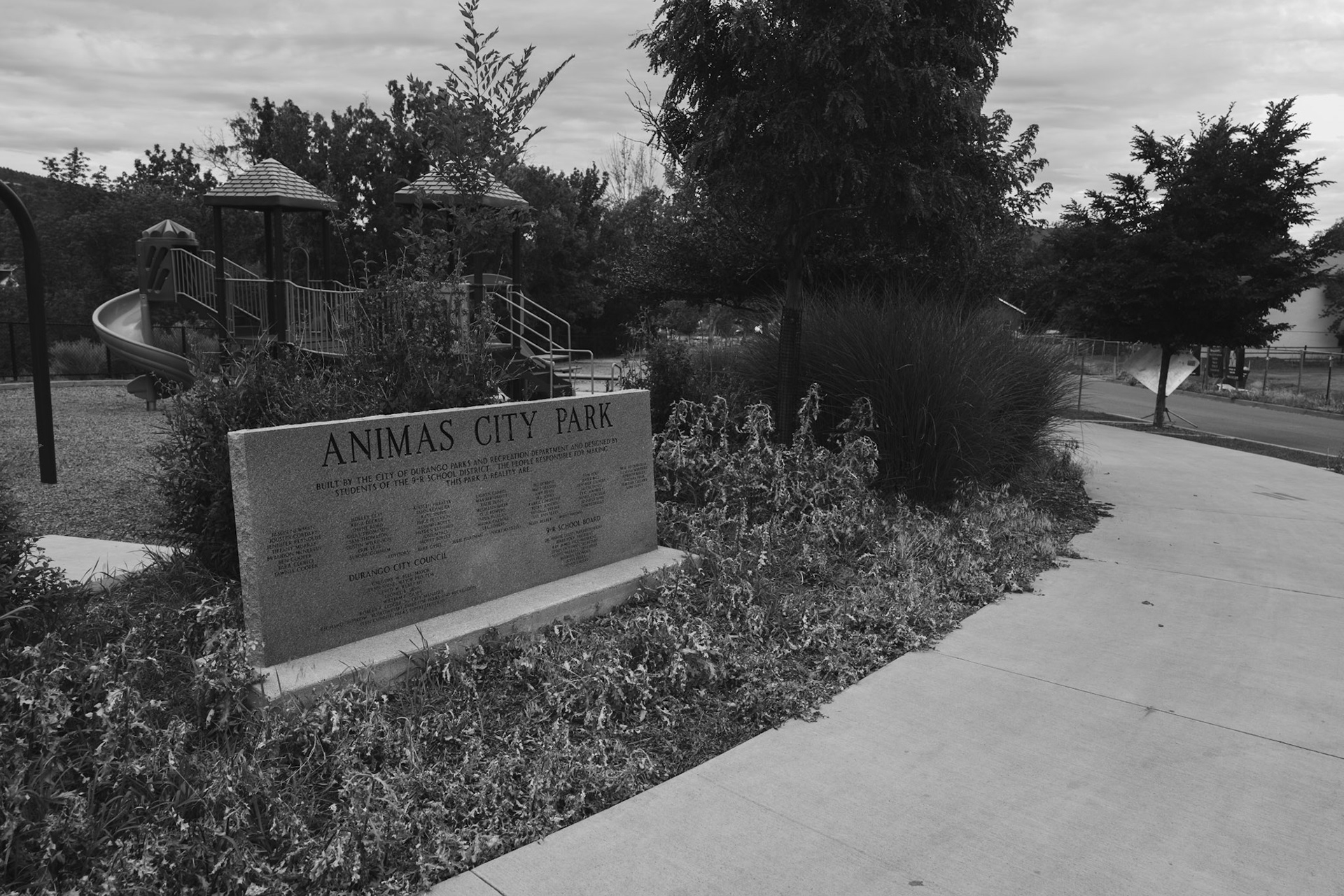
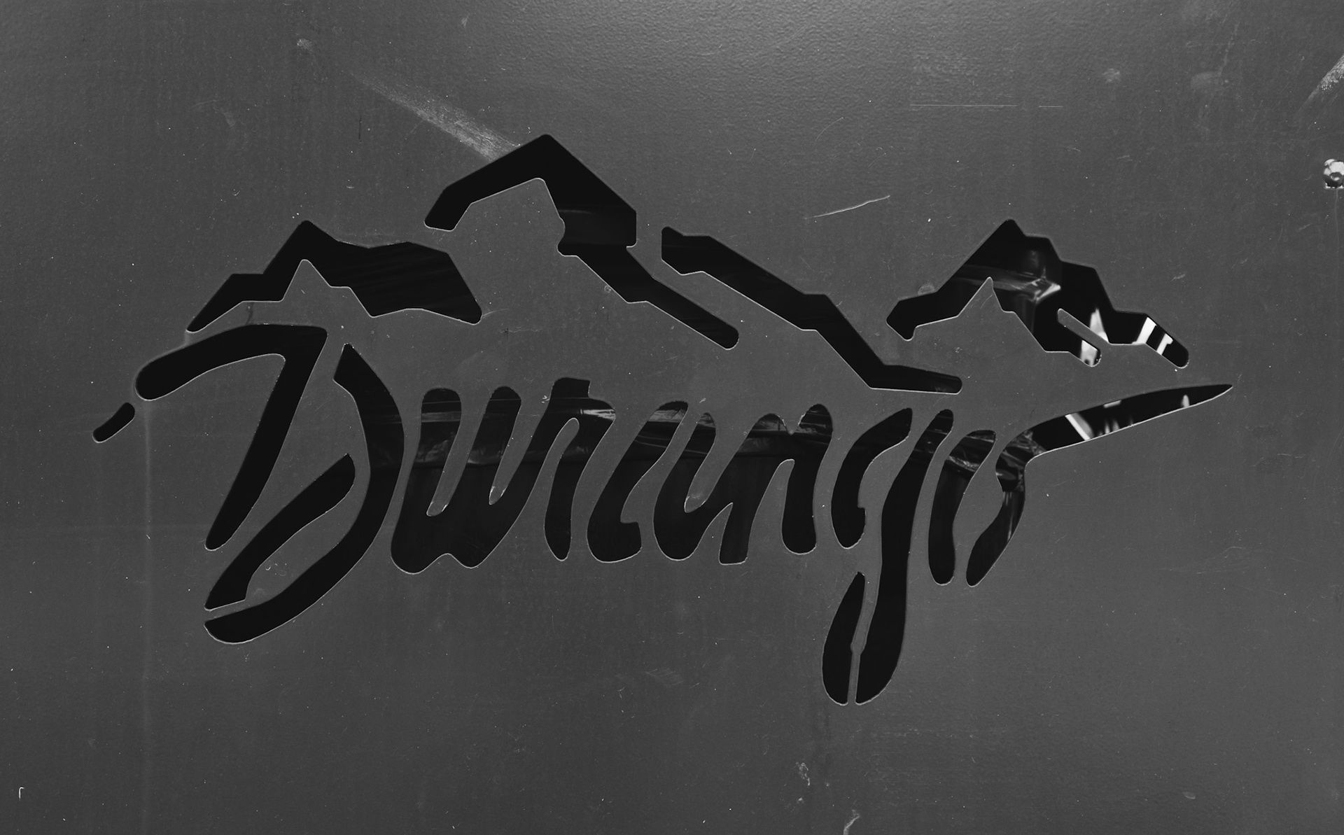
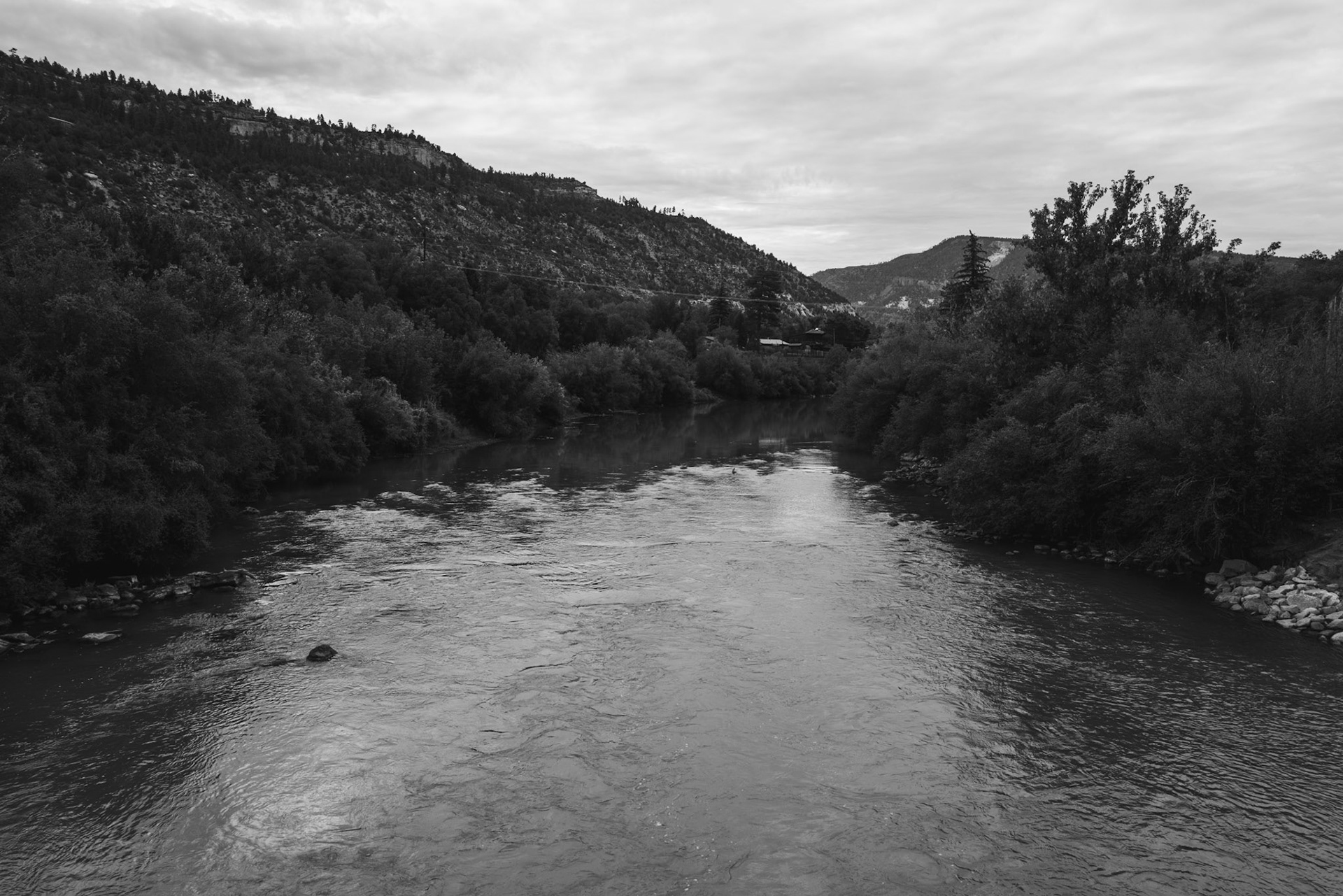
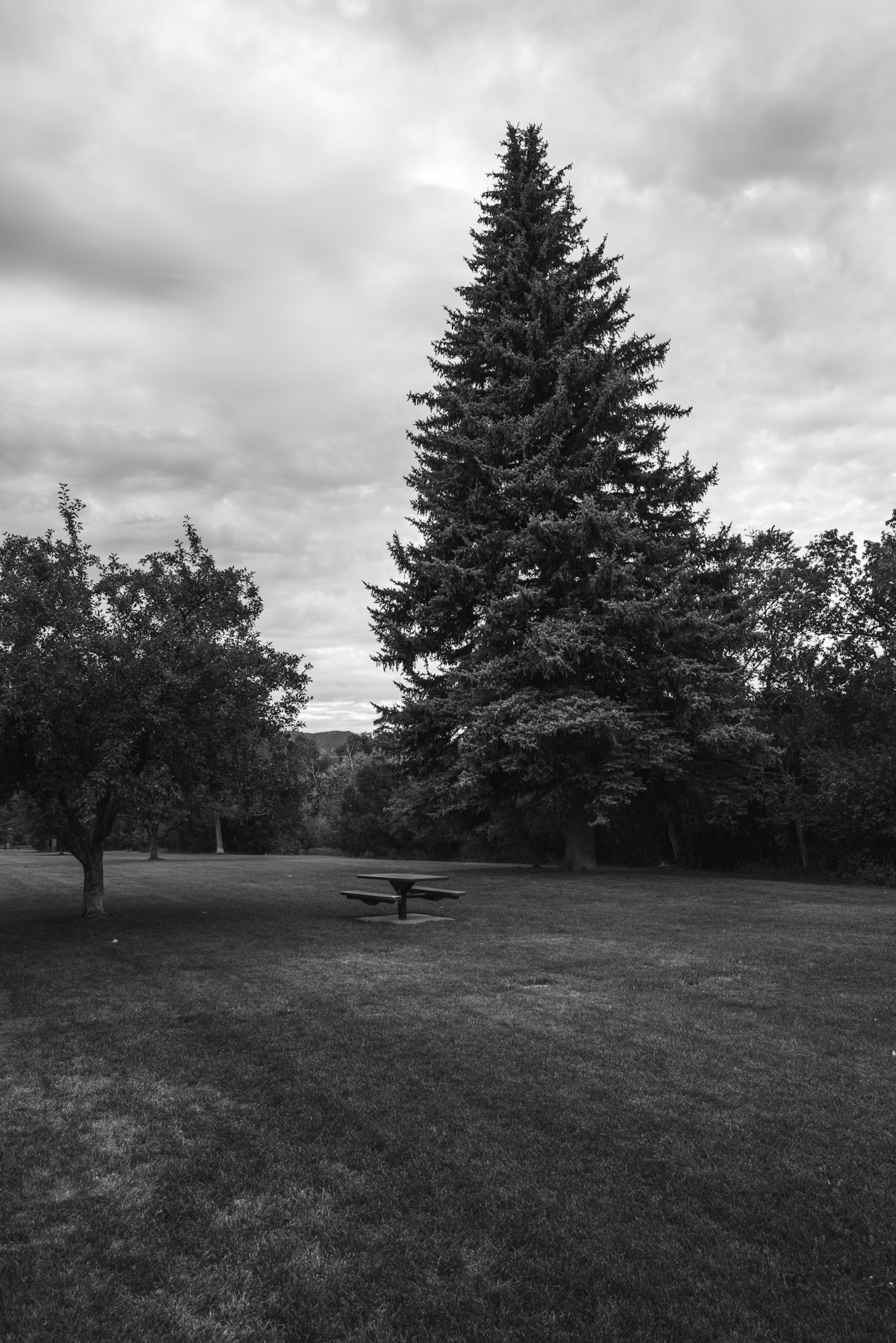
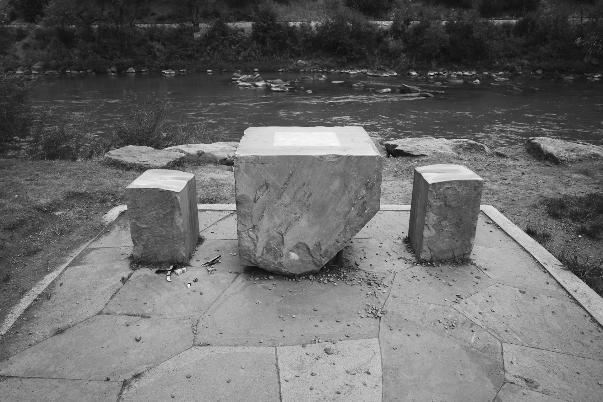
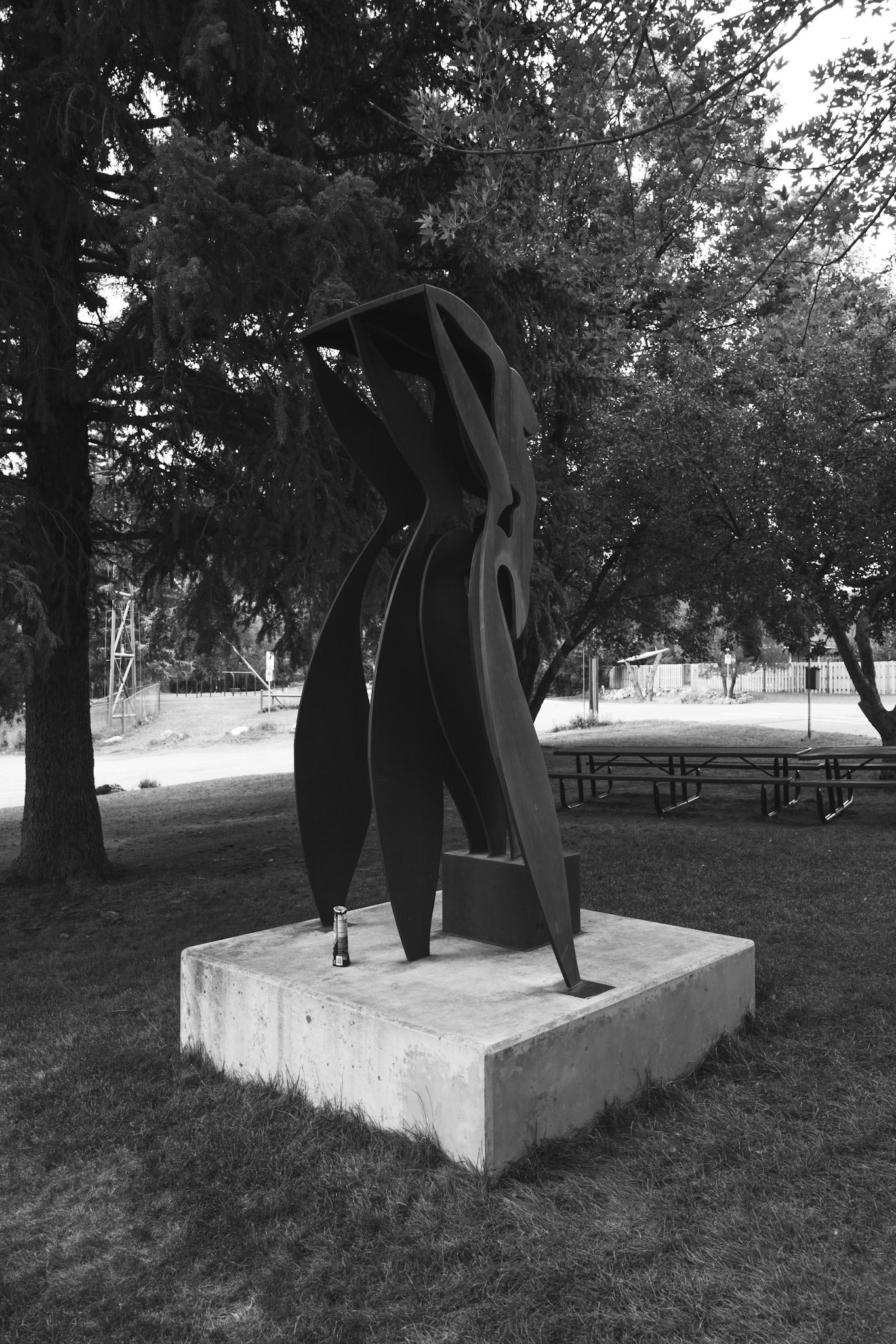
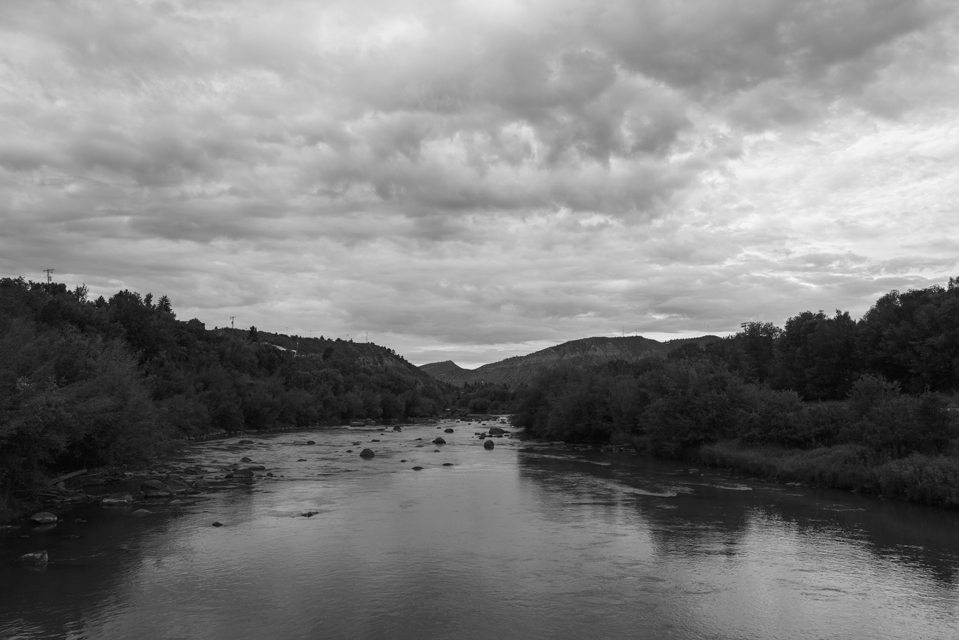
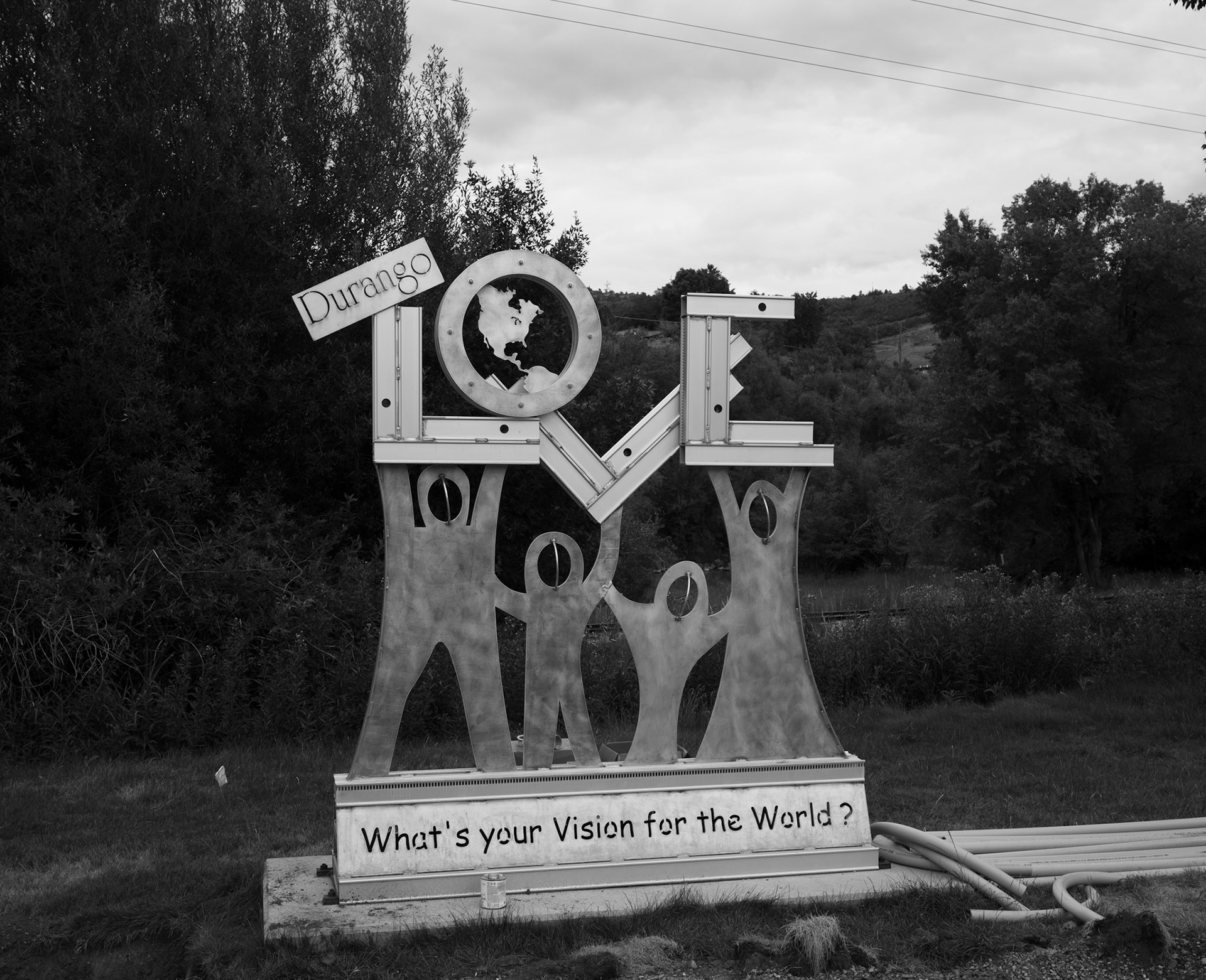
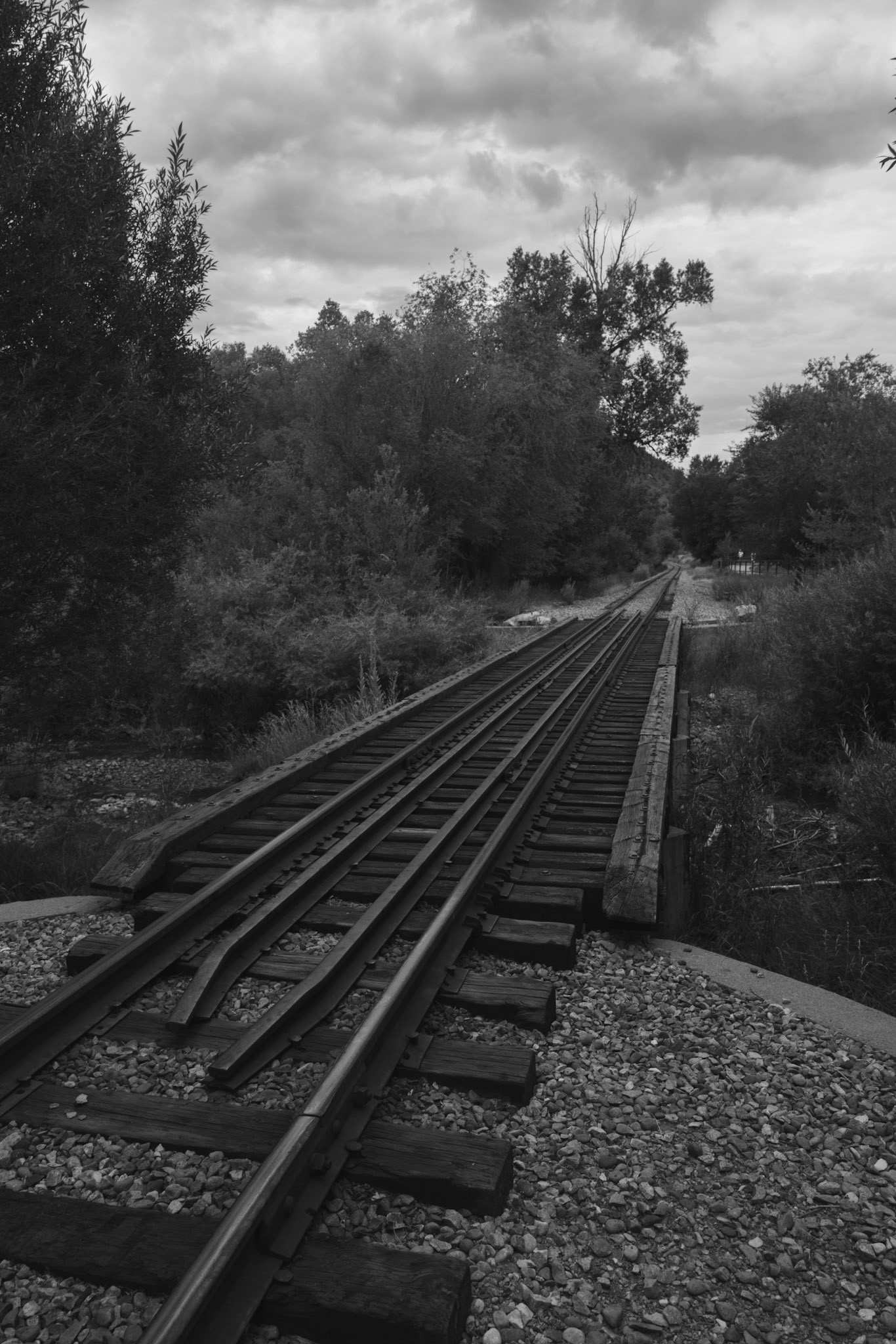
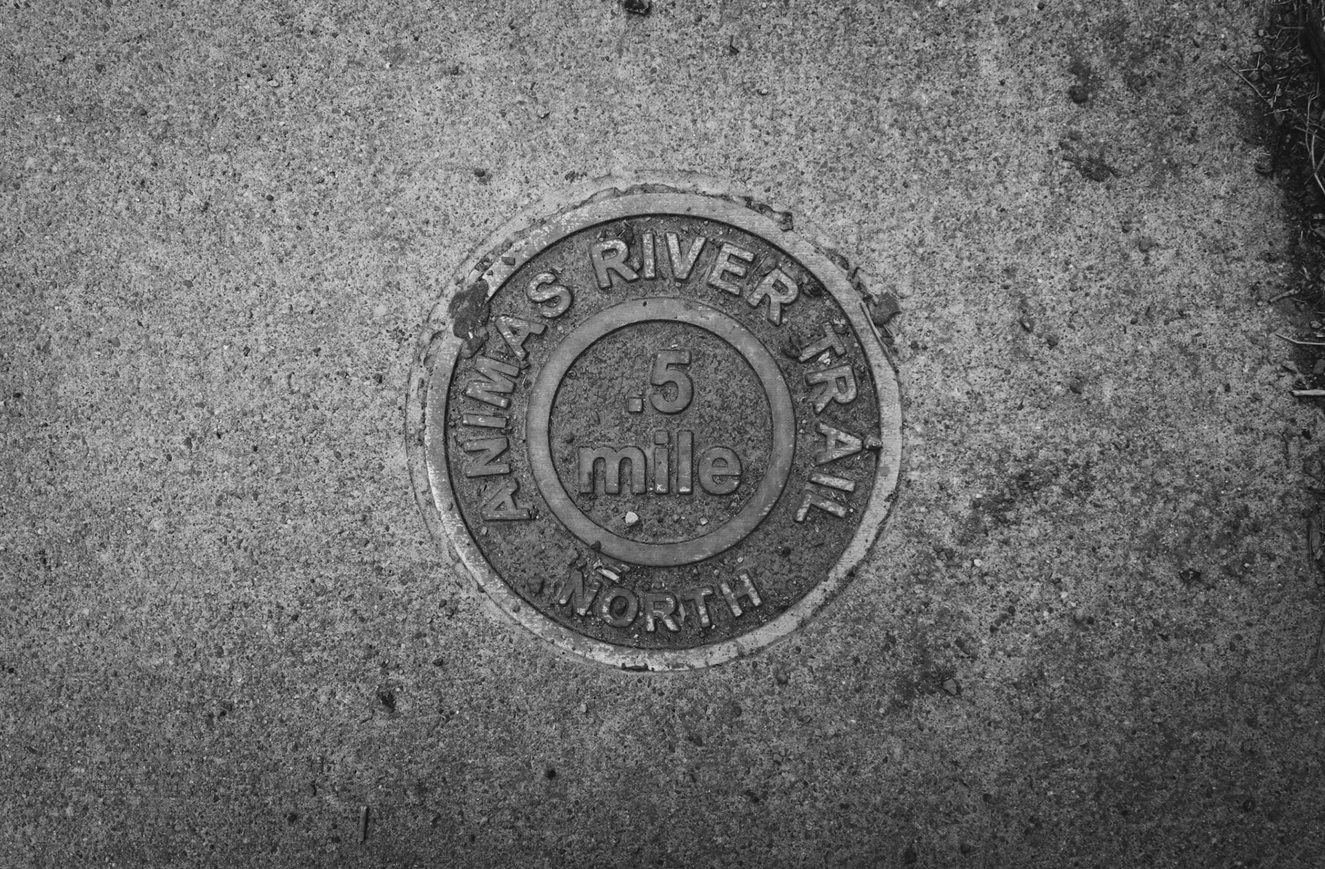
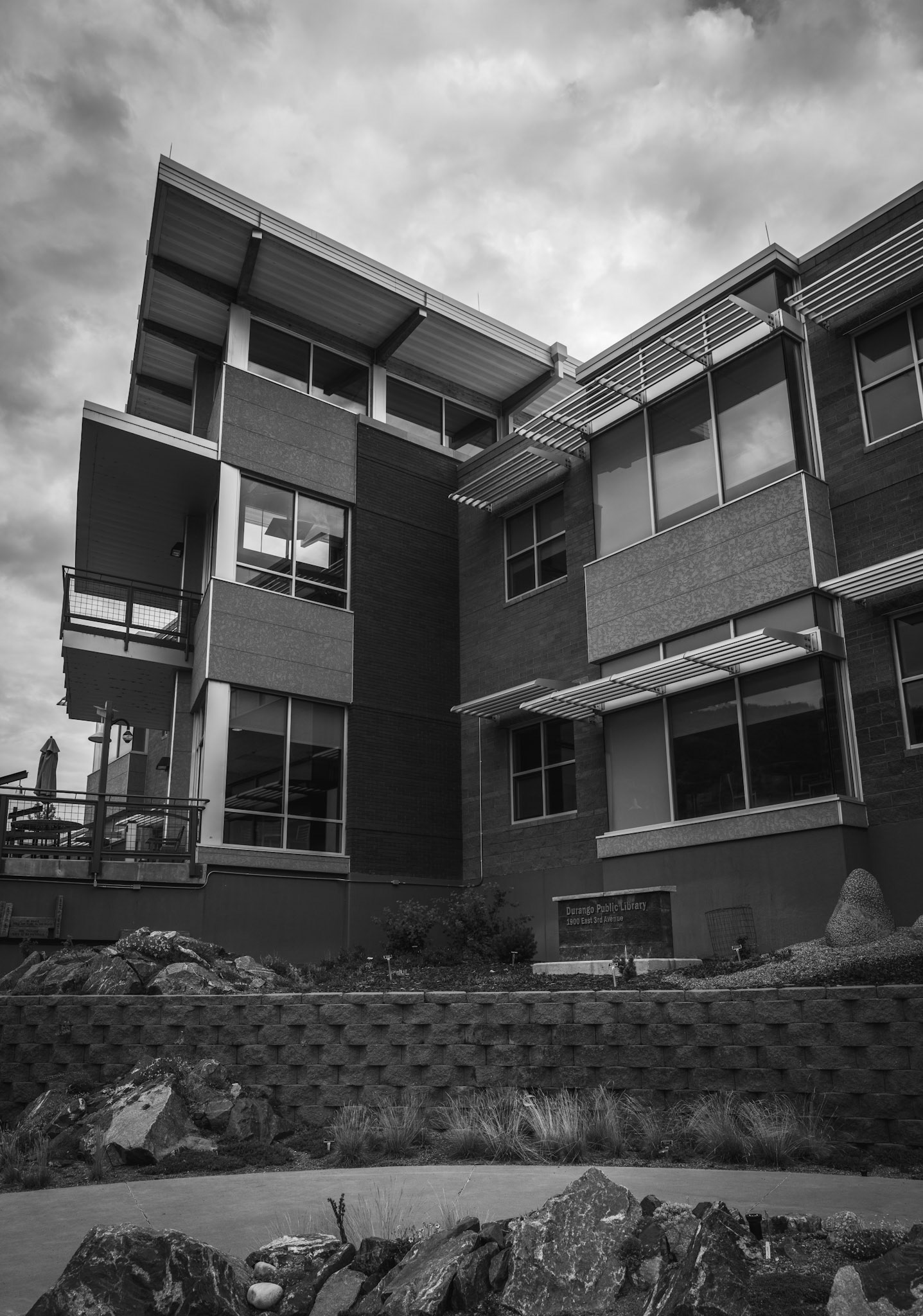
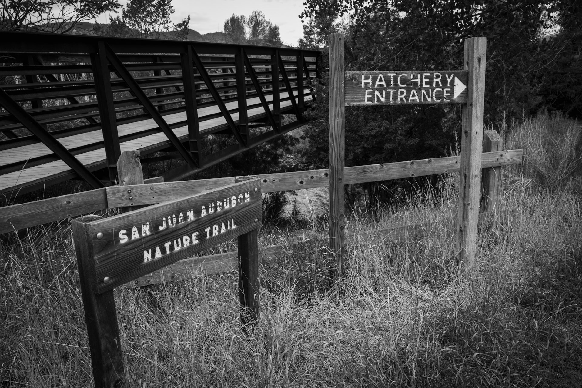
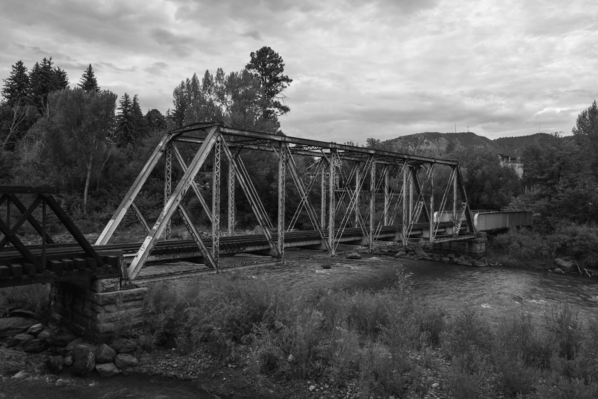
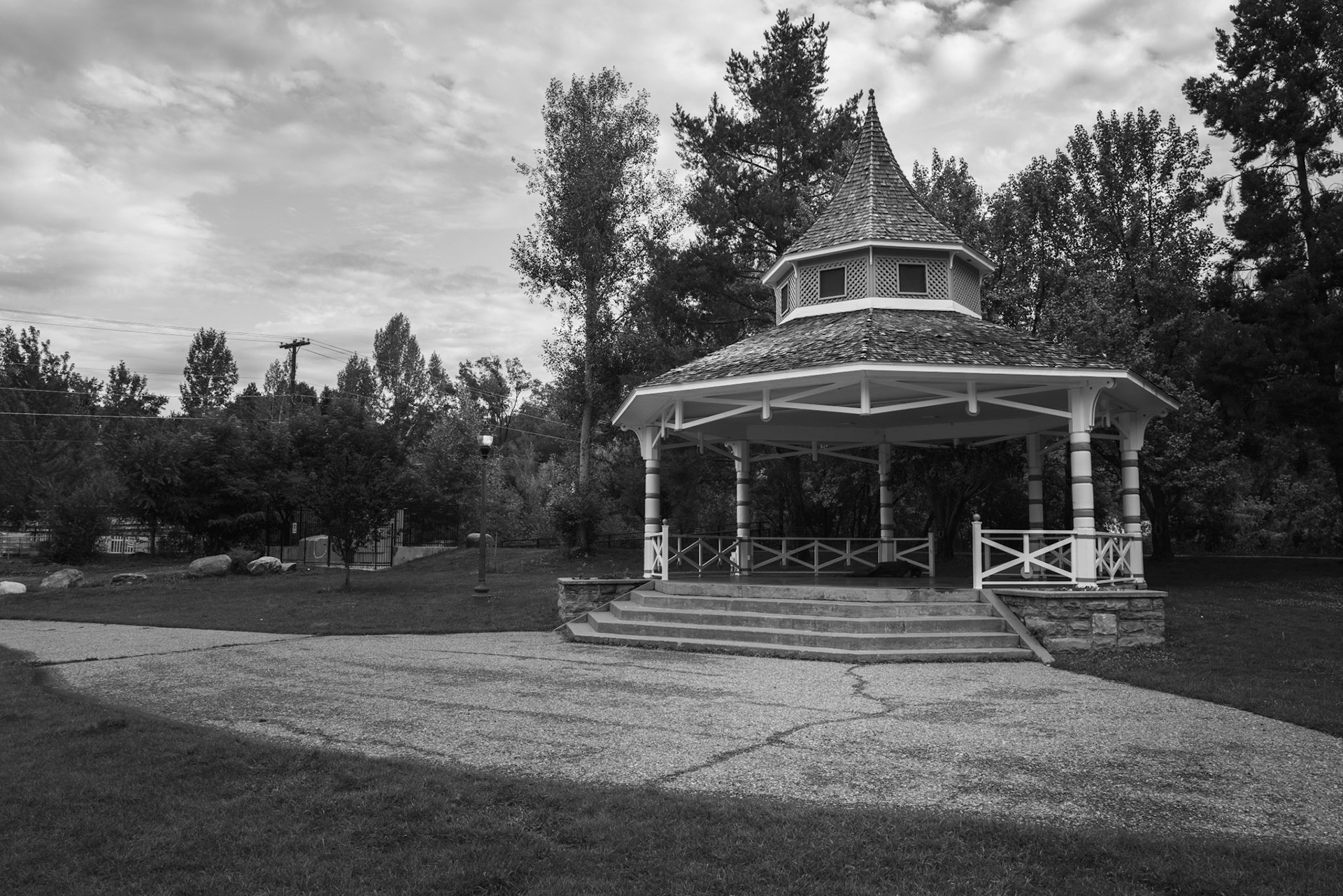
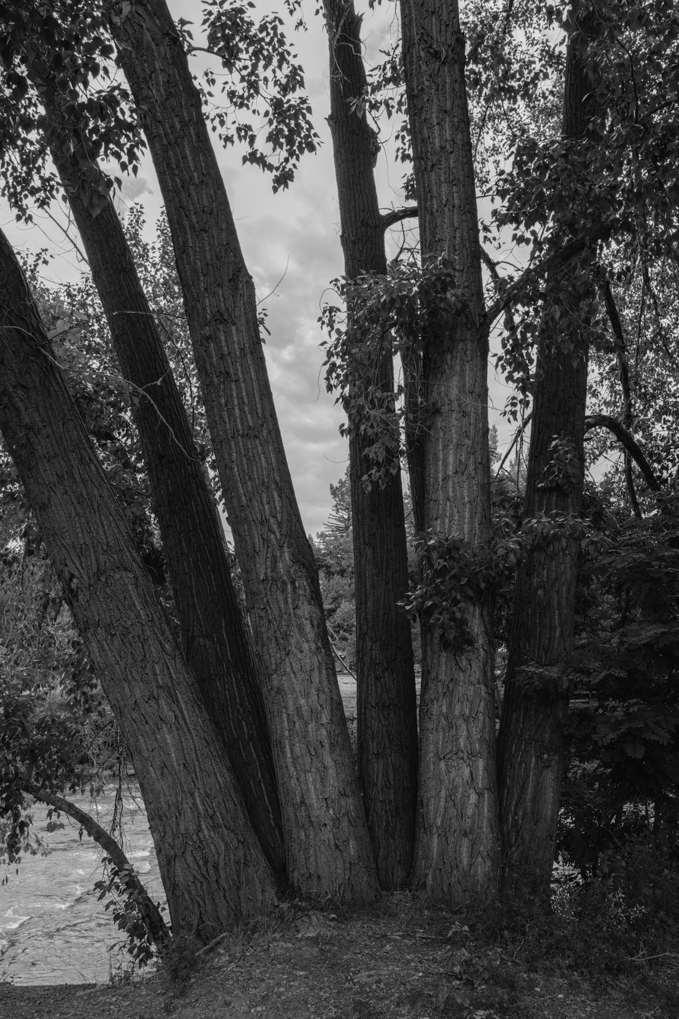
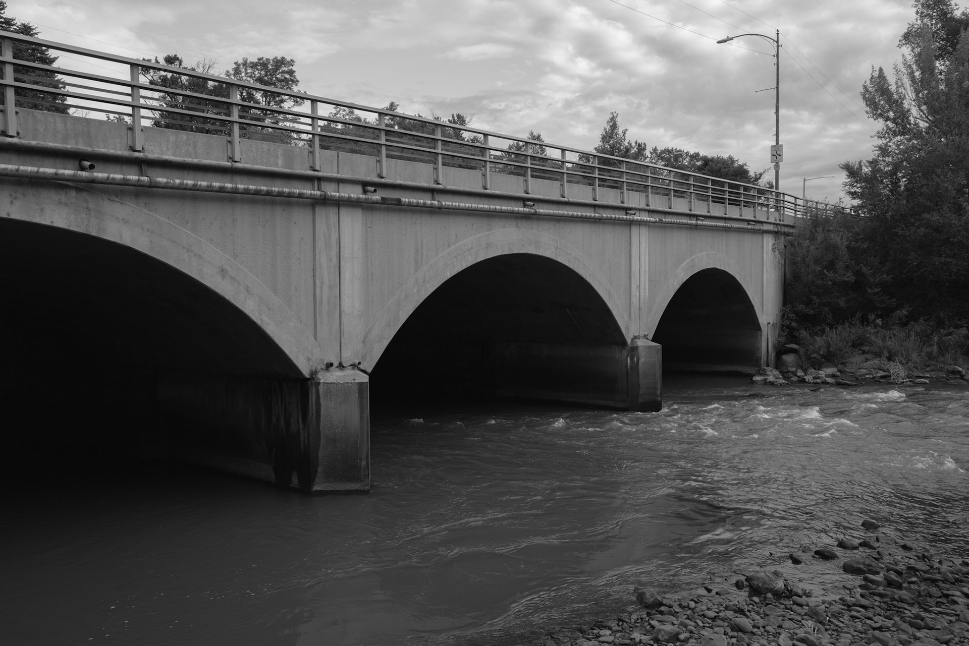
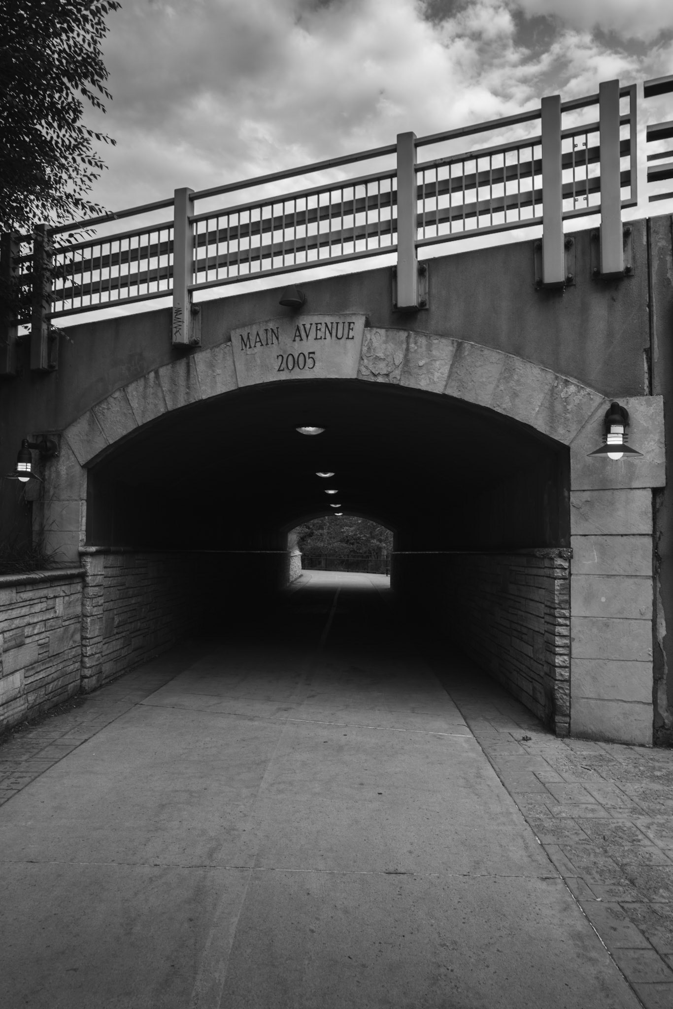
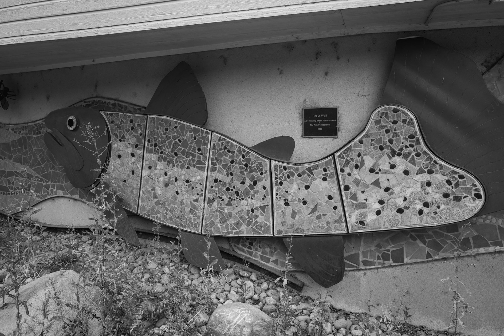
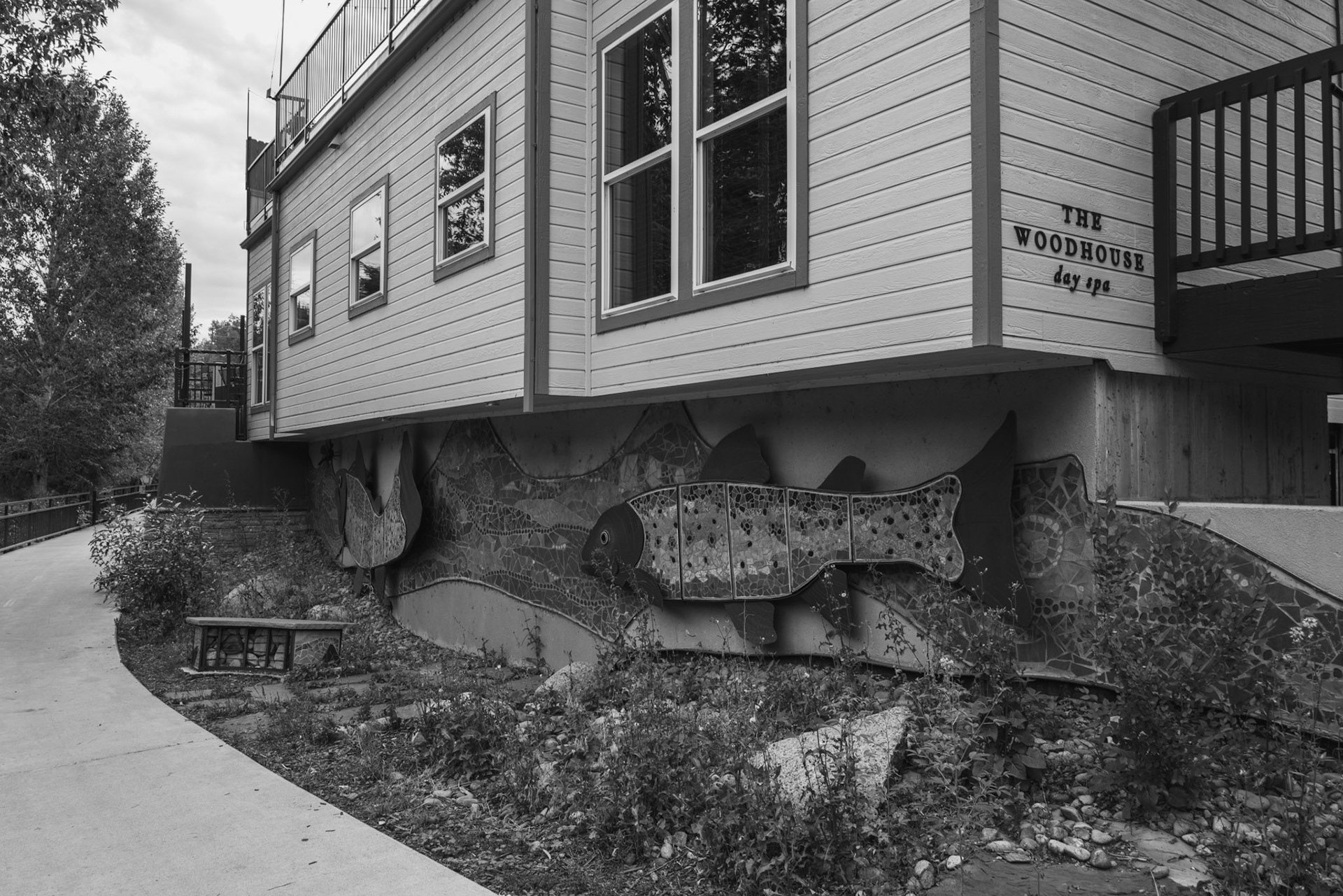
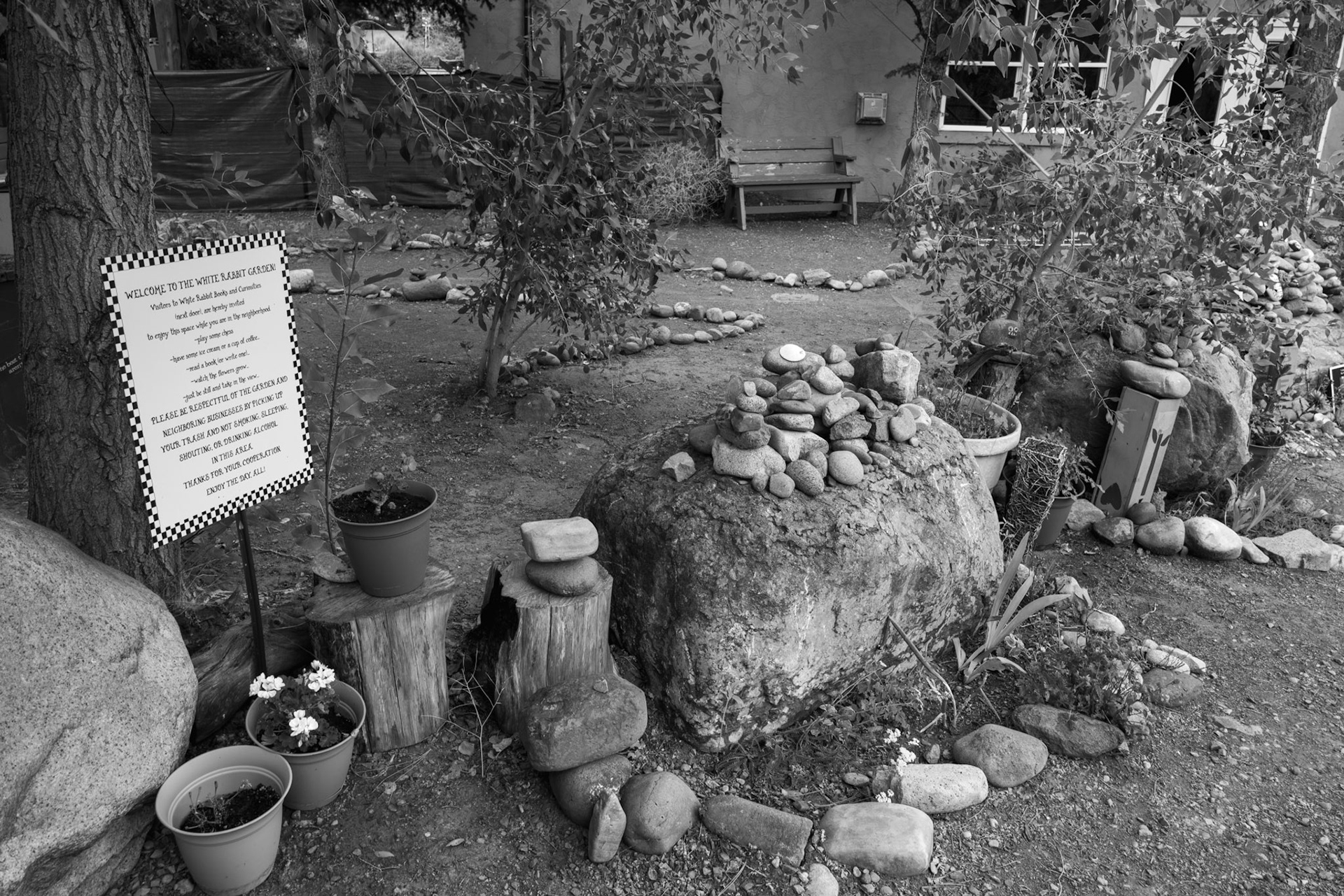
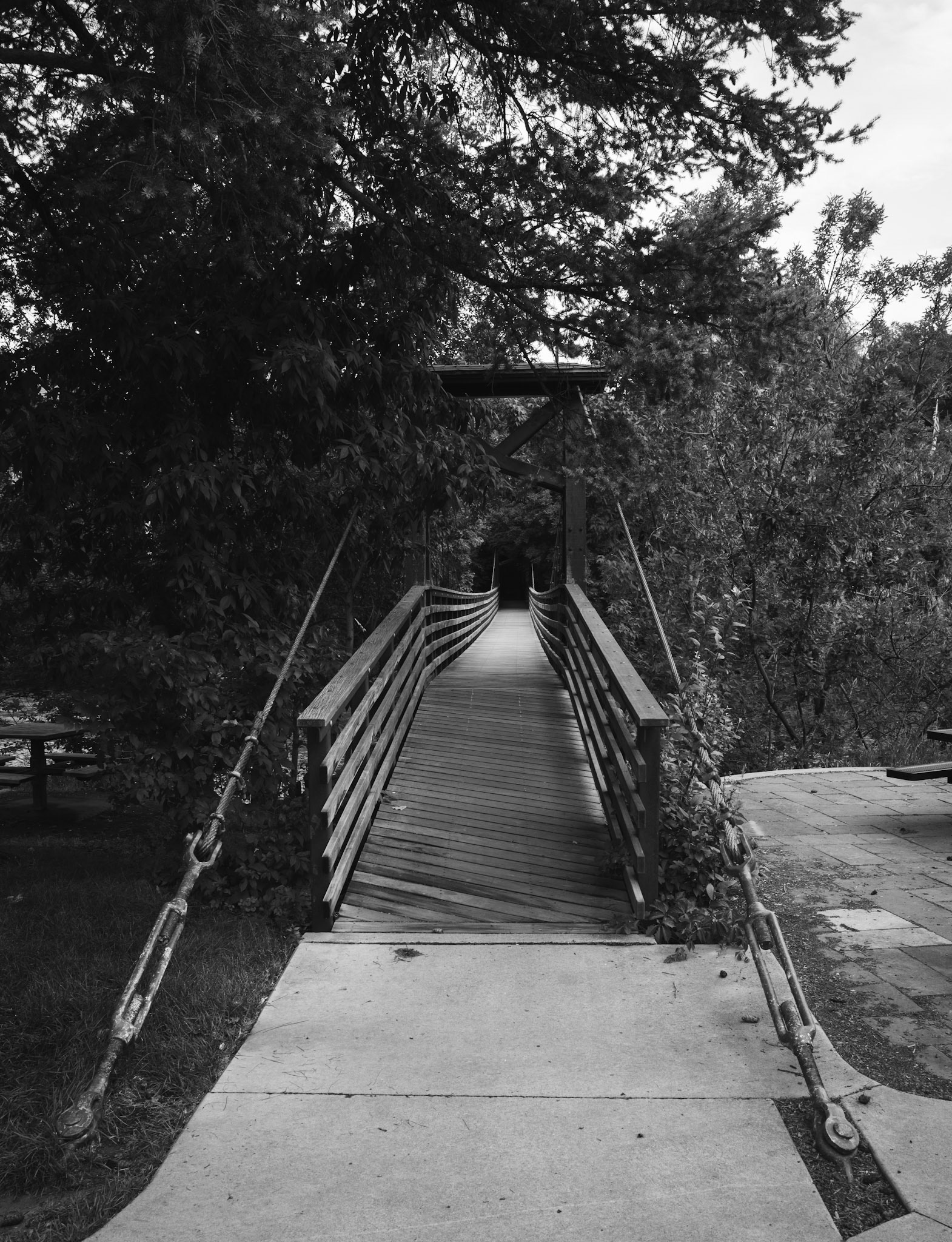
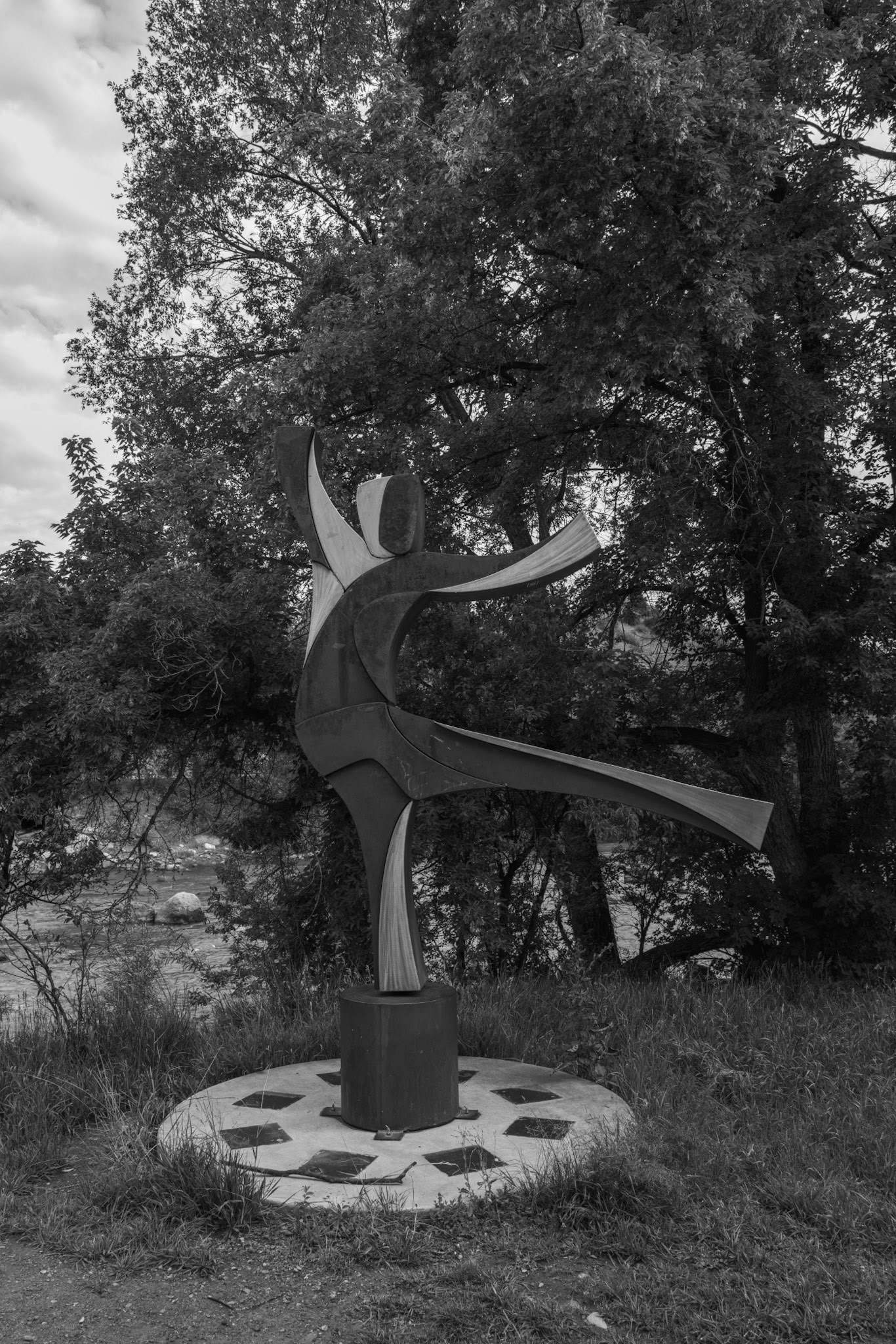
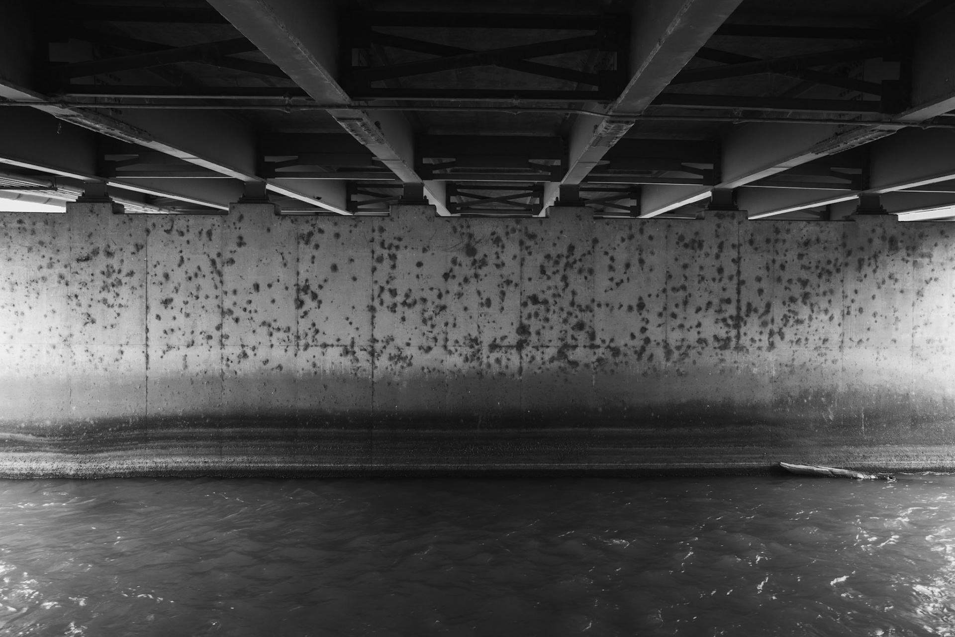
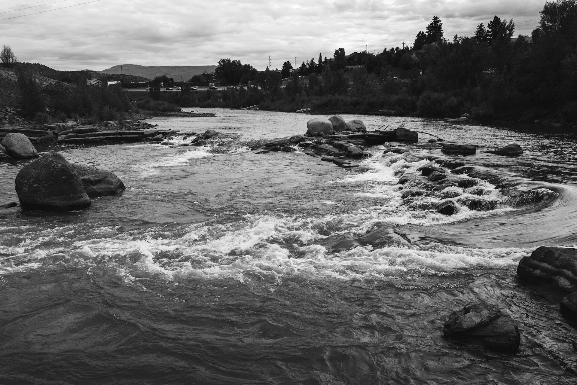
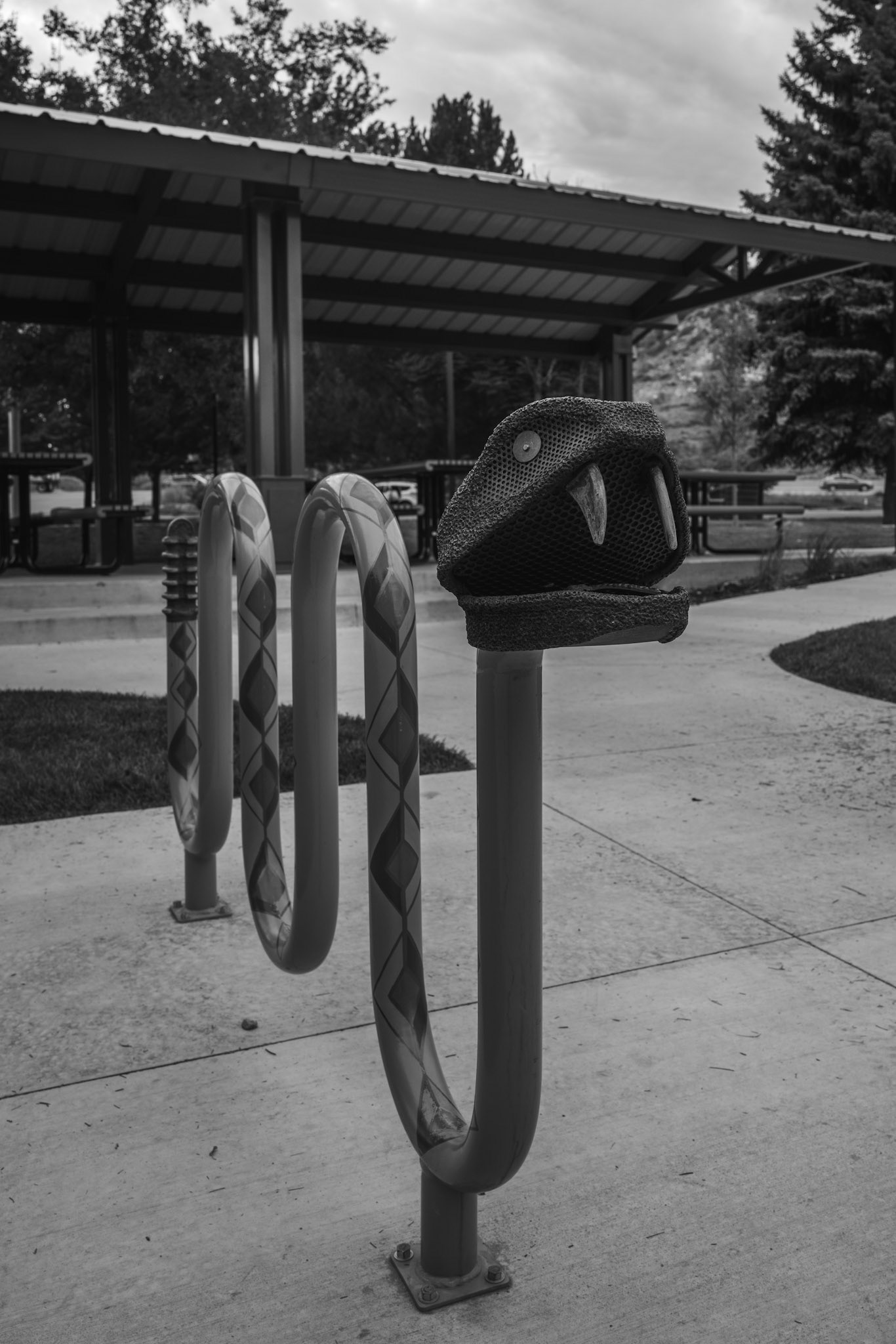
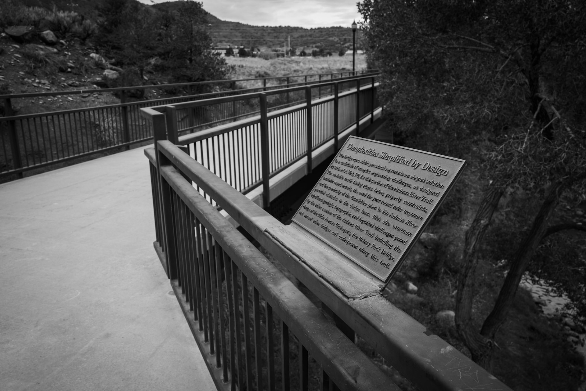
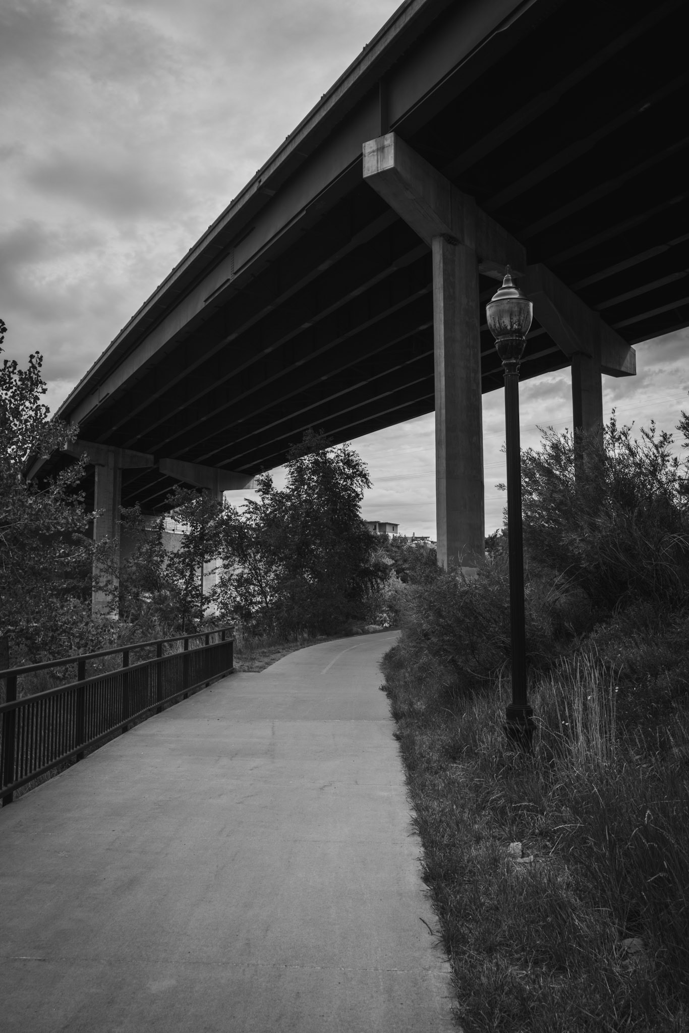
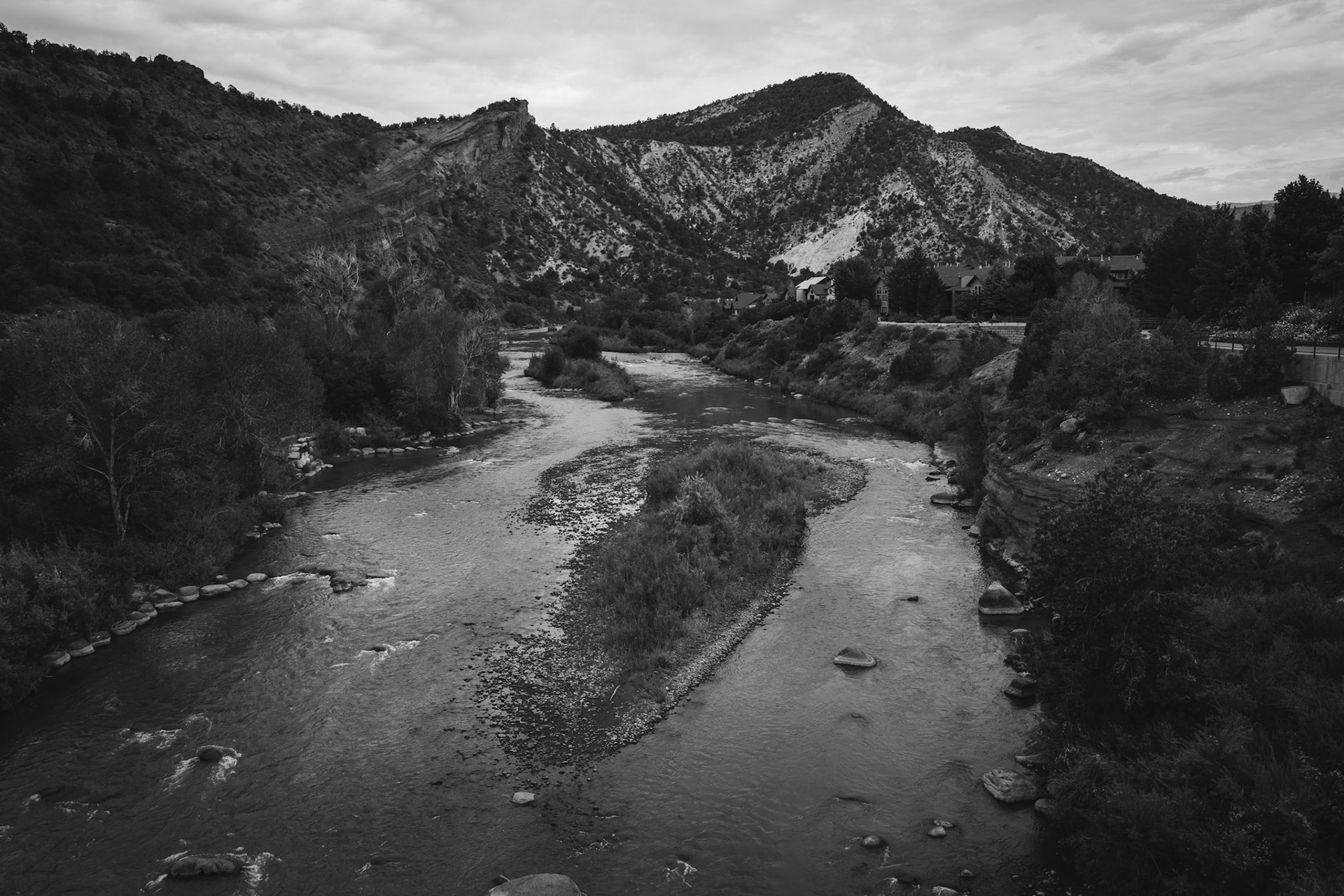
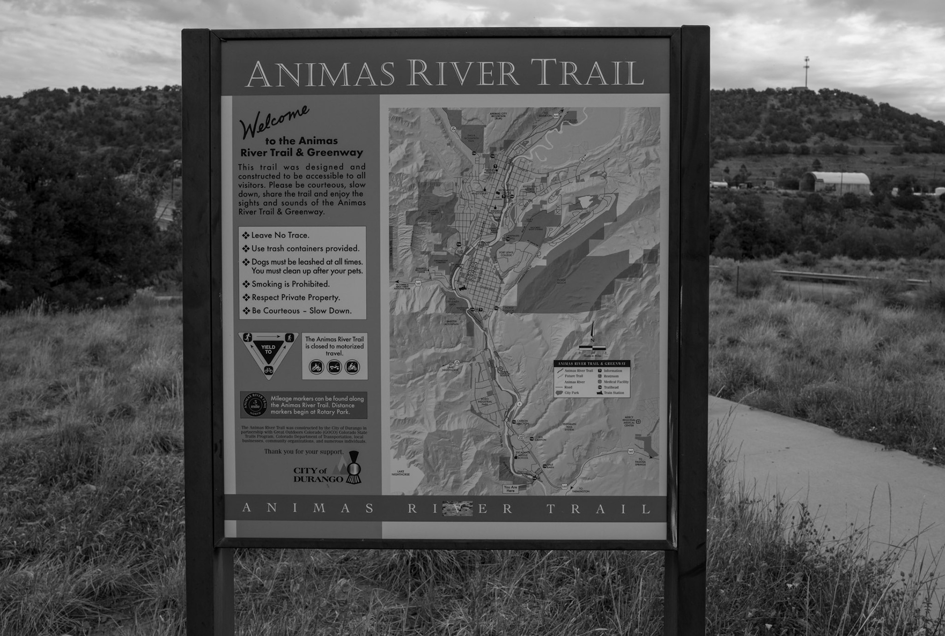
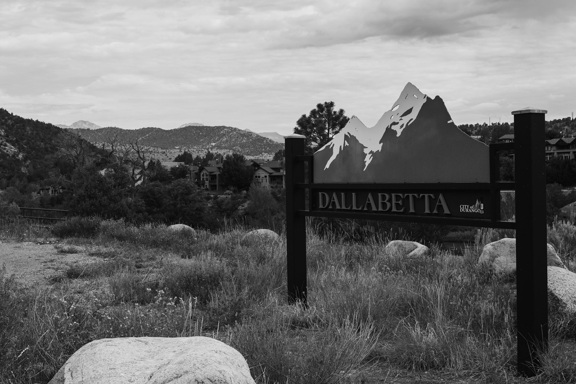
Round trip walk of the entire Animas River Trail in Durango, CO. I started early morning at the northern trailhead, Oxbow Park and Preserve, and walked south until reaching the end at Dallabetta Park. It took me about 3 hours to walk the 8.3 miles to the end before turning around to head back to Oxbow Park.
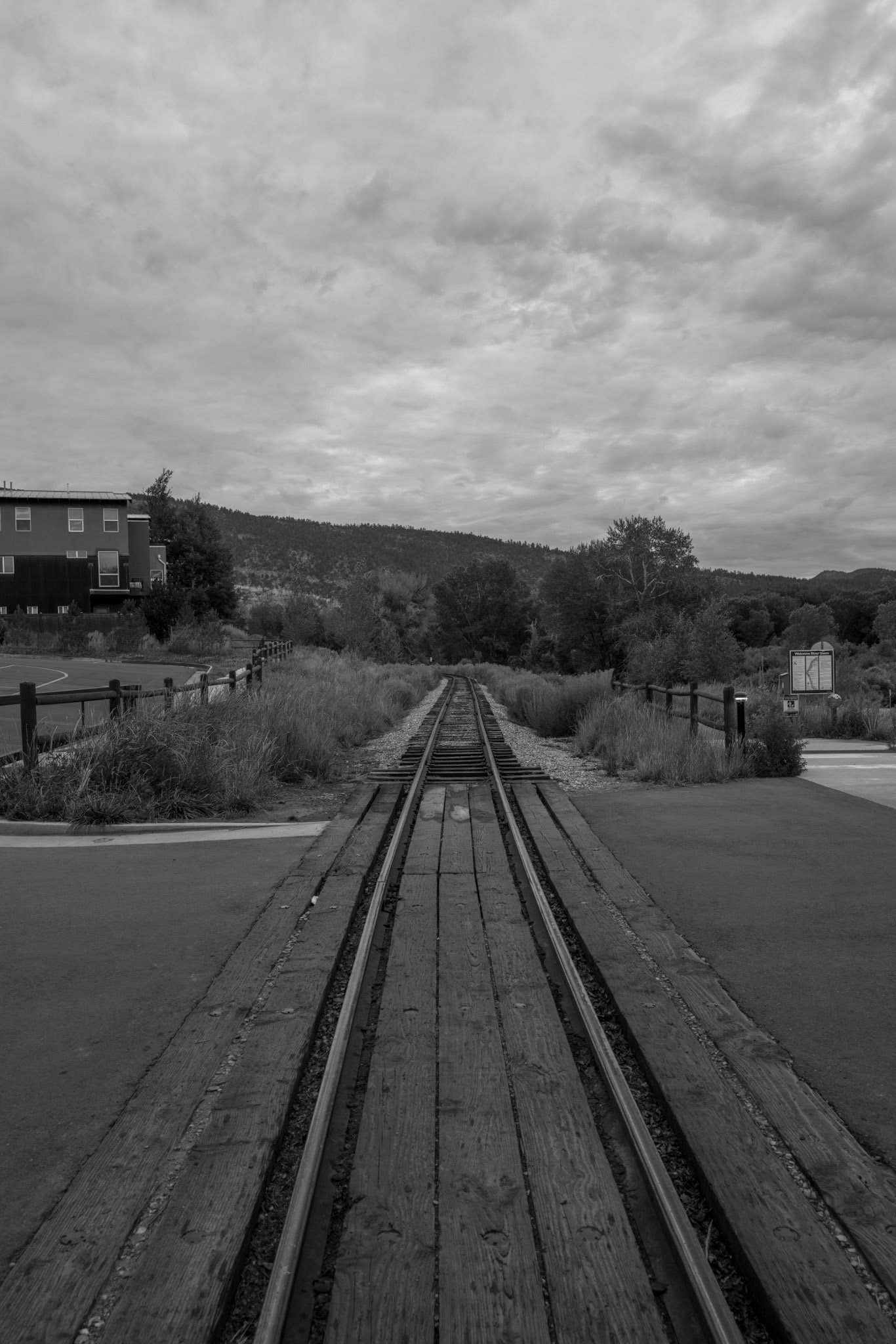
Round trip walk of the entire Animas River Trail in Durango, CO. I started early morning at the northern trailhead, Oxbow Park and Preserve, and walked south until reaching the end at Dallabetta Park. It took me about 3 hours to walk the 8.3 miles to the end before turning around to head back to Oxbow Park.
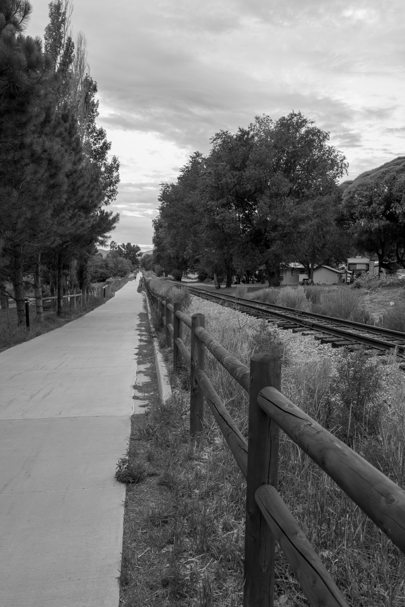
Round trip walk of the entire Animas River Trail in Durango, CO. I started early morning at the northern trailhead, Oxbow Park and Preserve, and walked south until reaching the end at Dallabetta Park. It took me about 3 hours to walk the 8.3 miles to the end before turning around to head back to Oxbow Park.
Round trip walk of the entire Animas River Trail in Durango, CO. I started early morning at the northern trailhead, Oxbow Park and Preserve, and walked south until reaching the end at Dallabetta Park. It took me about 3 hours to walk the 8.3 miles to the end before turning around to head back to Oxbow Park.
Round trip walk of the entire Animas River Trail in Durango, CO. I started early morning at the northern trailhead, Oxbow Park and Preserve, and walked south until reaching the end at Dallabetta Park. It took me about 3 hours to walk the 8.3 miles to the end before turning around to head back to Oxbow Park.
Round trip walk of the entire Animas River Trail in Durango, CO. I started early morning at the northern trailhead, Oxbow Park and Preserve, and walked south until reaching the end at Dallabetta Park. It took me about 3 hours to walk the 8.3 miles to the end before turning around to head back to Oxbow Park.
Round trip walk of the entire Animas River Trail in Durango, CO. I started early morning at the northern trailhead, Oxbow Park and Preserve, and walked south until reaching the end at Dallabetta Park. It took me about 3 hours to walk the 8.3 miles to the end before turning around to head back to Oxbow Park.
Round trip walk of the entire Animas River Trail in Durango, CO. I started early morning at the northern trailhead, Oxbow Park and Preserve, and walked south until reaching the end at Dallabetta Park. It took me about 3 hours to walk the 8.3 miles to the end before turning around to head back to Oxbow Park.
Round trip walk of the entire Animas River Trail in Durango, CO. I started early morning at the northern trailhead, Oxbow Park and Preserve, and walked south until reaching the end at Dallabetta Park. It took me about 3 hours to walk the 8.3 miles to the end before turning around to head back to Oxbow Park.
Round trip walk of the entire Animas River Trail in Durango, CO. I started early morning at the northern trailhead, Oxbow Park and Preserve, and walked south until reaching the end at Dallabetta Park. It took me about 3 hours to walk the 8.3 miles to the end before turning around to head back to Oxbow Park.
Round trip walk of the entire Animas River Trail in Durango, CO. I started early morning at the northern trailhead, Oxbow Park and Preserve, and walked south until reaching the end at Dallabetta Park. It took me about 3 hours to walk the 8.3 miles to the end before turning around to head back to Oxbow Park.
Round trip walk of the entire Animas River Trail in Durango, CO. I started early morning at the northern trailhead, Oxbow Park and Preserve, and walked south until reaching the end at Dallabetta Park. It took me about 3 hours to walk the 8.3 miles to the end before turning around to head back to Oxbow Park.
Round trip walk of the entire Animas River Trail in Durango, CO. I started early morning at the northern trailhead, Oxbow Park and Preserve, and walked south until reaching the end at Dallabetta Park. It took me about 3 hours to walk the 8.3 miles to the end before turning around to head back to Oxbow Park.
Round trip walk of the entire Animas River Trail in Durango, CO. I started early morning at the northern trailhead, Oxbow Park and Preserve, and walked south until reaching the end at Dallabetta Park. It took me about 3 hours to walk the 8.3 miles to the end before turning around to head back to Oxbow Park.
Round trip walk of the entire Animas River Trail in Durango, CO. I started early morning at the northern trailhead, Oxbow Park and Preserve, and walked south until reaching the end at Dallabetta Park. It took me about 3 hours to walk the 8.3 miles to the end before turning around to head back to Oxbow Park.
Round trip walk of the entire Animas River Trail in Durango, CO. I started early morning at the northern trailhead, Oxbow Park and Preserve, and walked south until reaching the end at Dallabetta Park. It took me about 3 hours to walk the 8.3 miles to the end before turning around to head back to Oxbow Park.
Round trip walk of the entire Animas River Trail in Durango, CO. I started early morning at the northern trailhead, Oxbow Park and Preserve, and walked south until reaching the end at Dallabetta Park. It took me about 3 hours to walk the 8.3 miles to the end before turning around to head back to Oxbow Park.
Round trip walk of the entire Animas River Trail in Durango, CO. I started early morning at the northern trailhead, Oxbow Park and Preserve, and walked south until reaching the end at Dallabetta Park. It took me about 3 hours to walk the 8.3 miles to the end before turning around to head back to Oxbow Park.
Round trip walk of the entire Animas River Trail in Durango, CO. I started early morning at the northern trailhead, Oxbow Park and Preserve, and walked south until reaching the end at Dallabetta Park. It took me about 3 hours to walk the 8.3 miles to the end before turning around to head back to Oxbow Park.
Round trip walk of the entire Animas River Trail in Durango, CO. I started early morning at the northern trailhead, Oxbow Park and Preserve, and walked south until reaching the end at Dallabetta Park. It took me about 3 hours to walk the 8.3 miles to the end before turning around to head back to Oxbow Park.
Round trip walk of the entire Animas River Trail in Durango, CO. I started early morning at the northern trailhead, Oxbow Park and Preserve, and walked south until reaching the end at Dallabetta Park. It took me about 3 hours to walk the 8.3 miles to the end before turning around to head back to Oxbow Park.
Round trip walk of the entire Animas River Trail in Durango, CO. I started early morning at the northern trailhead, Oxbow Park and Preserve, and walked south until reaching the end at Dallabetta Park. It took me about 3 hours to walk the 8.3 miles to the end before turning around to head back to Oxbow Park.
Round trip walk of the entire Animas River Trail in Durango, CO. I started early morning at the northern trailhead, Oxbow Park and Preserve, and walked south until reaching the end at Dallabetta Park. It took me about 3 hours to walk the 8.3 miles to the end before turning around to head back to Oxbow Park.
Round trip walk of the entire Animas River Trail in Durango, CO. I started early morning at the northern trailhead, Oxbow Park and Preserve, and walked south until reaching the end at Dallabetta Park. It took me about 3 hours to walk the 8.3 miles to the end before turning around to head back to Oxbow Park.
Round trip walk of the entire Animas River Trail in Durango, CO. I started early morning at the northern trailhead, Oxbow Park and Preserve, and walked south until reaching the end at Dallabetta Park. It took me about 3 hours to walk the 8.3 miles to the end before turning around to head back to Oxbow Park.
Round trip walk of the entire Animas River Trail in Durango, CO. I started early morning at the northern trailhead, Oxbow Park and Preserve, and walked south until reaching the end at Dallabetta Park. It took me about 3 hours to walk the 8.3 miles to the end before turning around to head back to Oxbow Park.
Round trip walk of the entire Animas River Trail in Durango, CO. I started early morning at the northern trailhead, Oxbow Park and Preserve, and walked south until reaching the end at Dallabetta Park. It took me about 3 hours to walk the 8.3 miles to the end before turning around to head back to Oxbow Park.
Round trip walk of the entire Animas River Trail in Durango, CO. I started early morning at the northern trailhead, Oxbow Park and Preserve, and walked south until reaching the end at Dallabetta Park. It took me about 3 hours to walk the 8.3 miles to the end before turning around to head back to Oxbow Park.
Round trip walk of the entire Animas River Trail in Durango, CO. I started early morning at the northern trailhead, Oxbow Park and Preserve, and walked south until reaching the end at Dallabetta Park. It took me about 3 hours to walk the 8.3 miles to the end before turning around to head back to Oxbow Park.
Round trip walk of the entire Animas River Trail in Durango, CO. I started early morning at the northern trailhead, Oxbow Park and Preserve, and walked south until reaching the end at Dallabetta Park. It took me about 3 hours to walk the 8.3 miles to the end before turning around to head back to Oxbow Park.
Round trip walk of the entire Animas River Trail in Durango, CO. I started early morning at the northern trailhead, Oxbow Park and Preserve, and walked south until reaching the end at Dallabetta Park. It took me about 3 hours to walk the 8.3 miles to the end before turning around to head back to Oxbow Park.
Round trip walk of the entire Animas River Trail in Durango, CO. I started early morning at the northern trailhead, Oxbow Park and Preserve, and walked south until reaching the end at Dallabetta Park. It took me about 3 hours to walk the 8.3 miles to the end before turning around to head back to Oxbow Park.
Round trip walk of the entire Animas River Trail in Durango, CO. I started early morning at the northern trailhead, Oxbow Park and Preserve, and walked south until reaching the end at Dallabetta Park. It took me about 3 hours to walk the 8.3 miles to the end before turning around to head back to Oxbow Park.
Round trip walk of the entire Animas River Trail in Durango, CO. I started early morning at the northern trailhead, Oxbow Park and Preserve, and walked south until reaching the end at Dallabetta Park. It took me about 3 hours to walk the 8.3 miles to the end before turning around to head back to Oxbow Park.
Round trip walk of the entire Animas River Trail in Durango, CO. I started early morning at the northern trailhead, Oxbow Park and Preserve, and walked south until reaching the end at Dallabetta Park. It took me about 3 hours to walk the 8.3 miles to the end before turning around to head back to Oxbow Park.
Round trip walk of the entire Animas River Trail in Durango, CO. I started early morning at the northern trailhead, Oxbow Park and Preserve, and walked south until reaching the end at Dallabetta Park. It took me about 3 hours to walk the 8.3 miles to the end before turning around to head back to Oxbow Park.
Round trip walk of the entire Animas River Trail in Durango, CO. I started early morning at the northern trailhead, Oxbow Park and Preserve, and walked south until reaching the end at Dallabetta Park. It took me about 3 hours to walk the 8.3 miles to the end before turning around to head back to Oxbow Park.
Round trip walk of the entire Animas River Trail in Durango, CO. I started early morning at the northern trailhead, Oxbow Park and Preserve, and walked south until reaching the end at Dallabetta Park. It took me about 3 hours to walk the 8.3 miles to the end before turning around to head back to Oxbow Park.
Round trip walk of the entire Animas River Trail in Durango, CO. I started early morning at the northern trailhead, Oxbow Park and Preserve, and walked south until reaching the end at Dallabetta Park. It took me about 3 hours to walk the 8.3 miles to the end before turning around to head back to Oxbow Park.
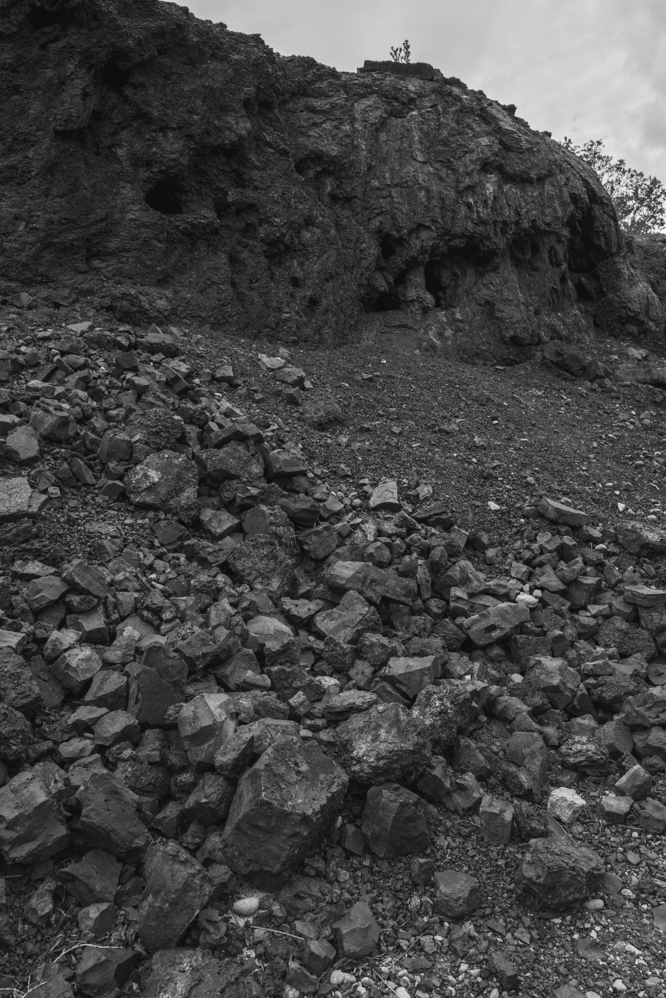
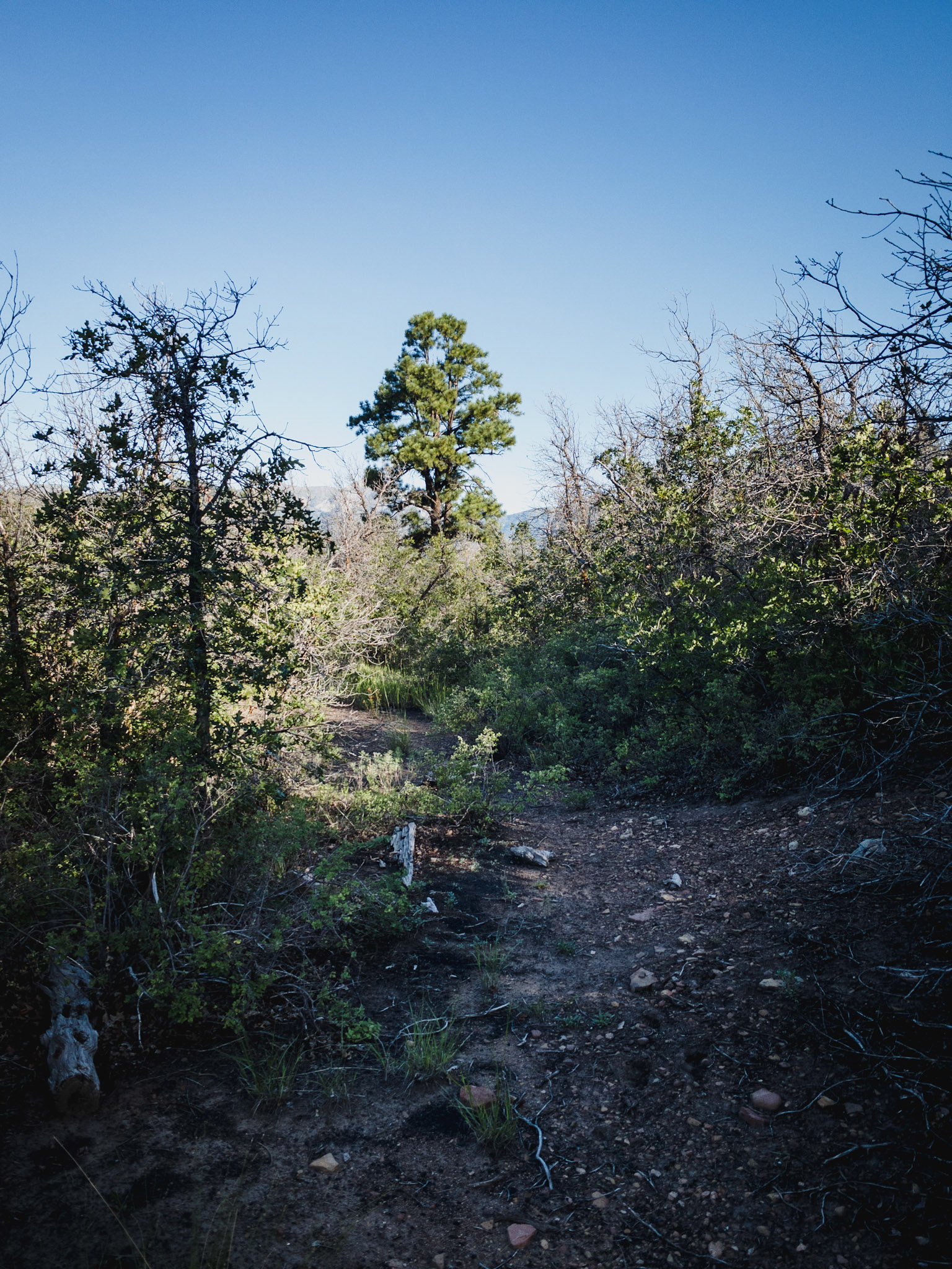
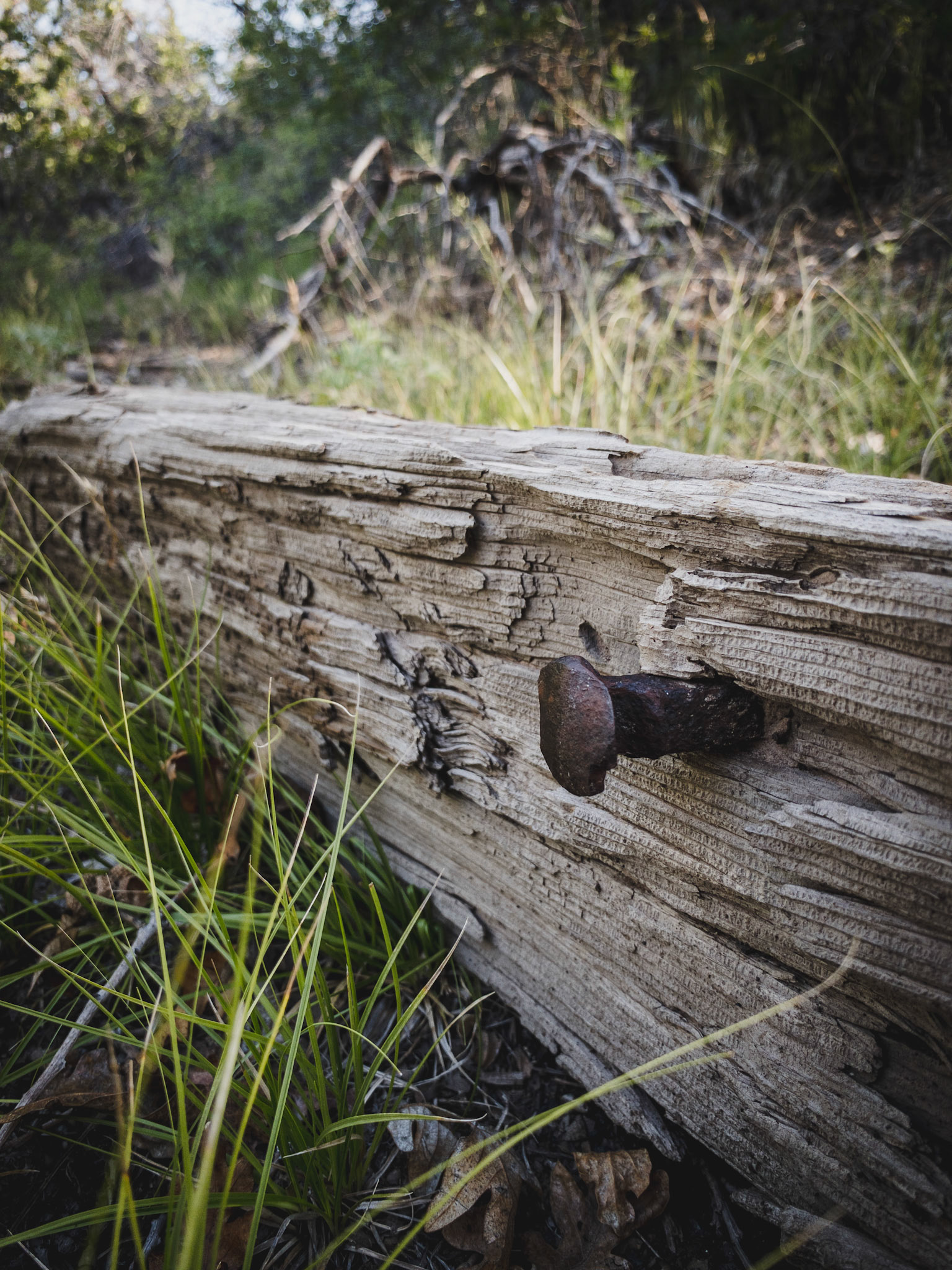
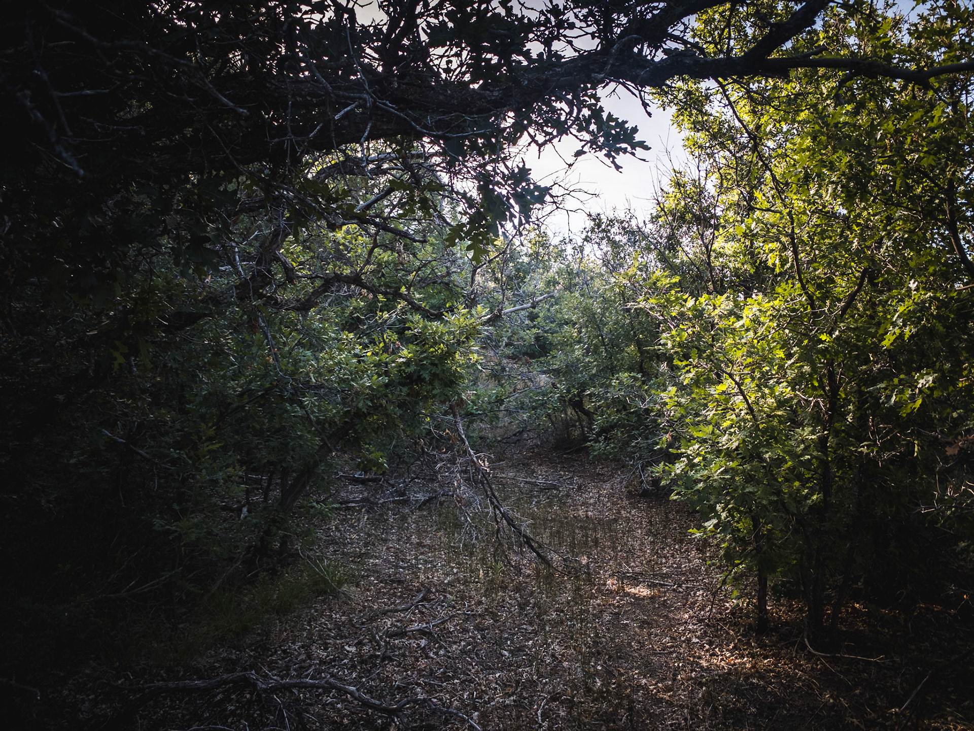
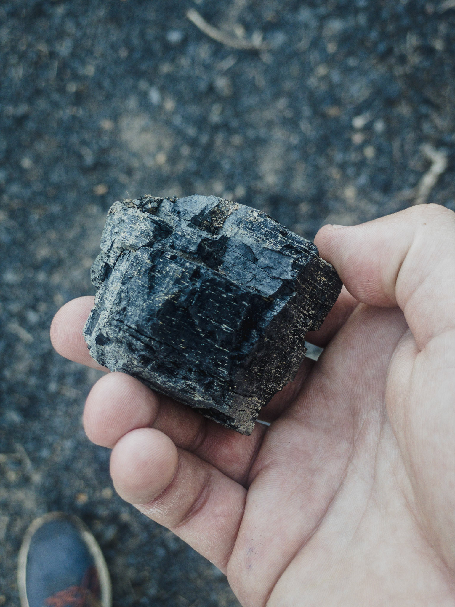
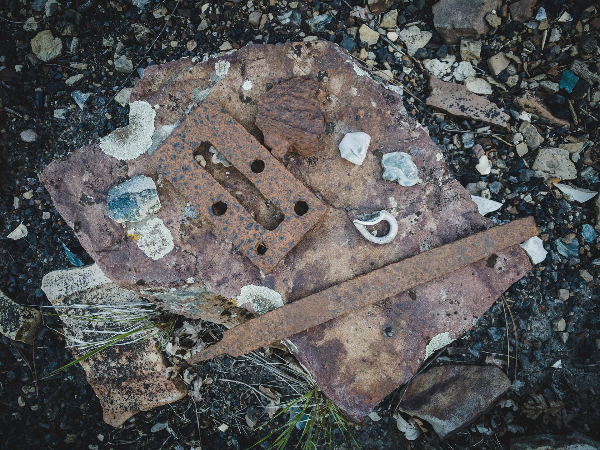
Doing a hike up to Perins Peak the other day and stumbled upon the original route for the Boston Coal & Fuel Railroad. The old path is seldom walked and overgrown in many areas, I saw no footprints along the way. The railroad was dismantled in 1927 after the mine closed. The established trail to Perins Peak follows the old route for a while before splitting off and heading to the mine.
Doing a hike up to Perins Peak the other day and stumbled upon the original route for the Boston Coal & Fuel Railroad. The old path is seldom walked and overgrown in many areas, I saw no footprints along the way. The railroad was dismantled in 1927 after the mine closed. The established trail to Perins Peak follows the old route for a while before splitting off and heading to the mine.
Doing a hike up to Perins Peak the other day and stumbled upon the original route for the Boston Coal & Fuel Railroad. The old path is seldom walked and overgrown in many areas, I saw no footprints along the way. The railroad was dismantled in 1927 after the mine closed. The established trail to Perins Peak follows the old route for a while before splitting off and heading to the mine.
Doing a hike up to Perins Peak the other day and stumbled upon the original route for the Boston Coal & Fuel Railroad. The old path is seldom walked and overgrown in many areas, I saw no footprints along the way. The railroad was dismantled in 1927 after the mine closed. The established trail to Perins Peak follows the old route for a while before splitting off and heading to the mine.
Doing a hike up to Perins Peak the other day and stumbled upon the original route for the Boston Coal & Fuel Railroad. The old path is seldom walked and overgrown in many areas, I saw no footprints along the way. The railroad was dismantled in 1927 after the mine closed. The established trail to Perins Peak follows the old route for a while before splitting off and heading to the mine.
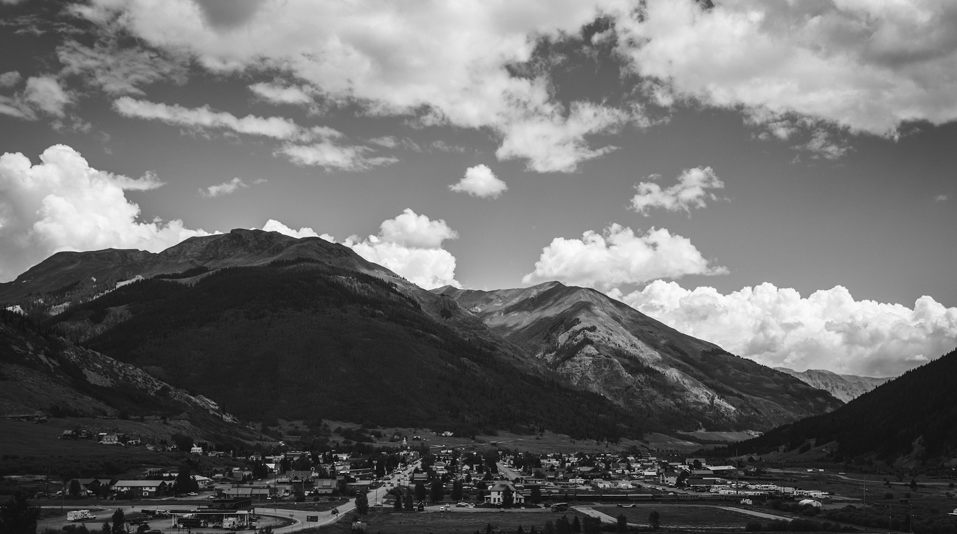
View from an abandoned mine overlooking the town of Silverton in Colorado
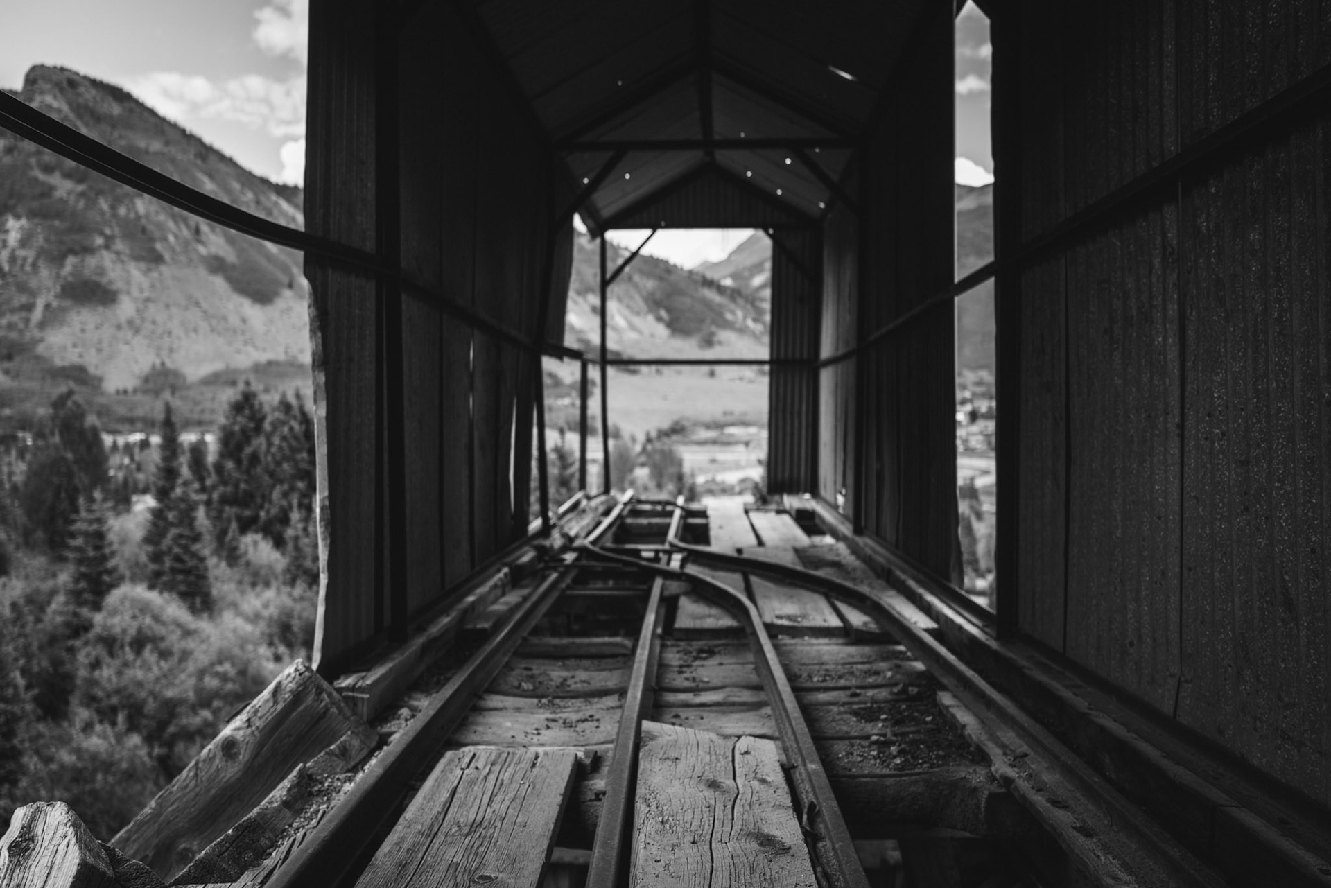
Abandoned mine in Silverton, CO
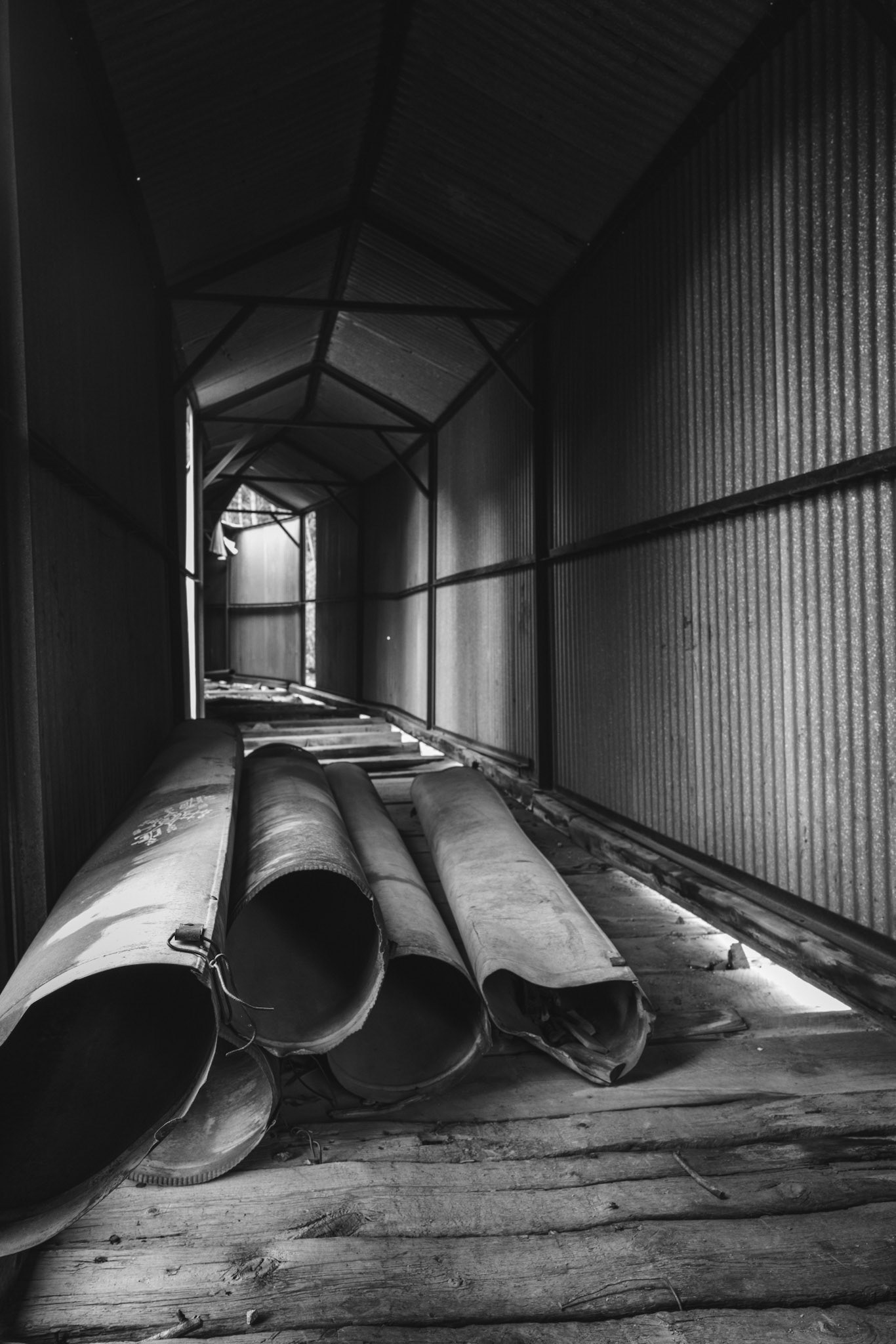
Pipes under a covered mine pathway
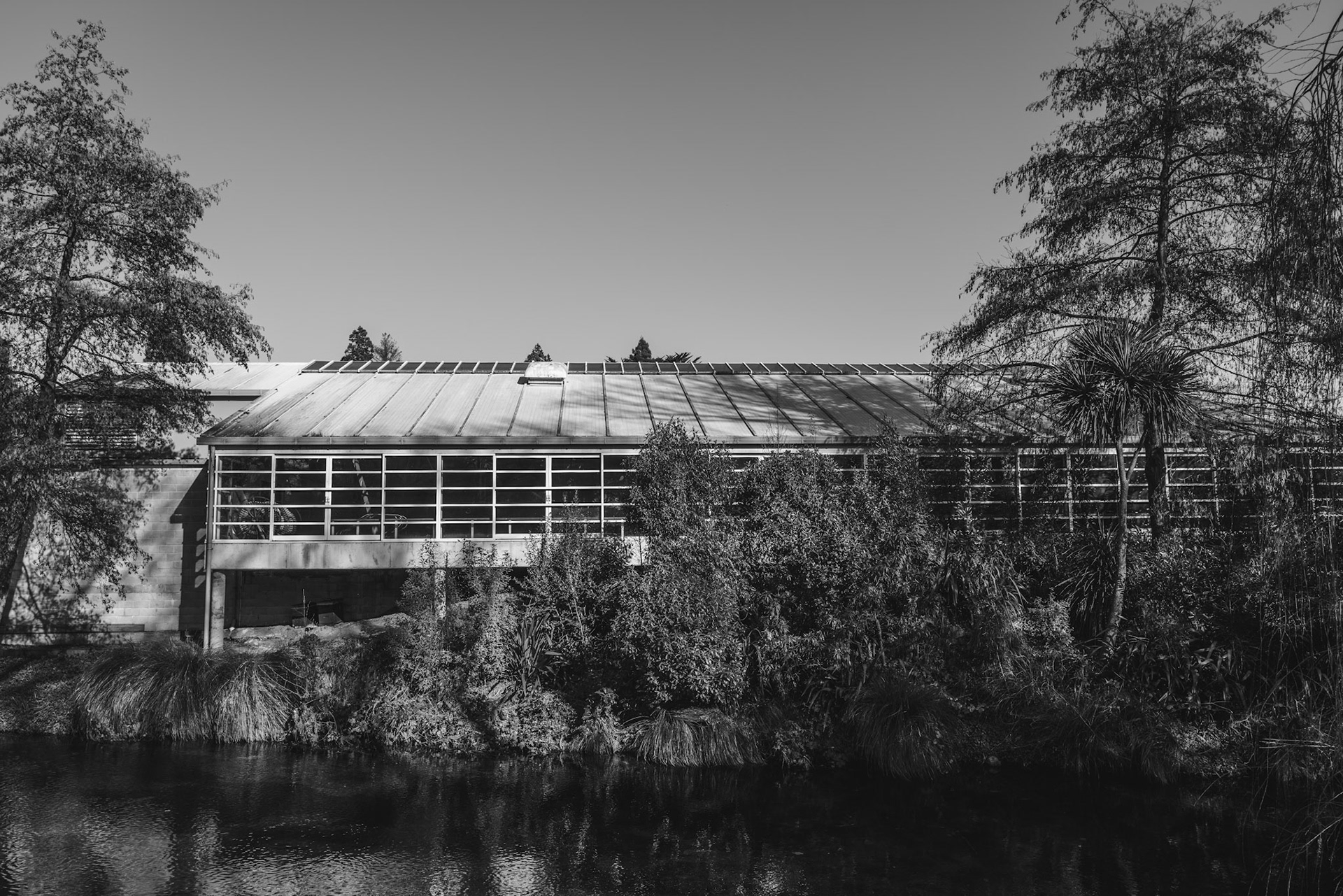
Building along the river
Sculpture in a small pond
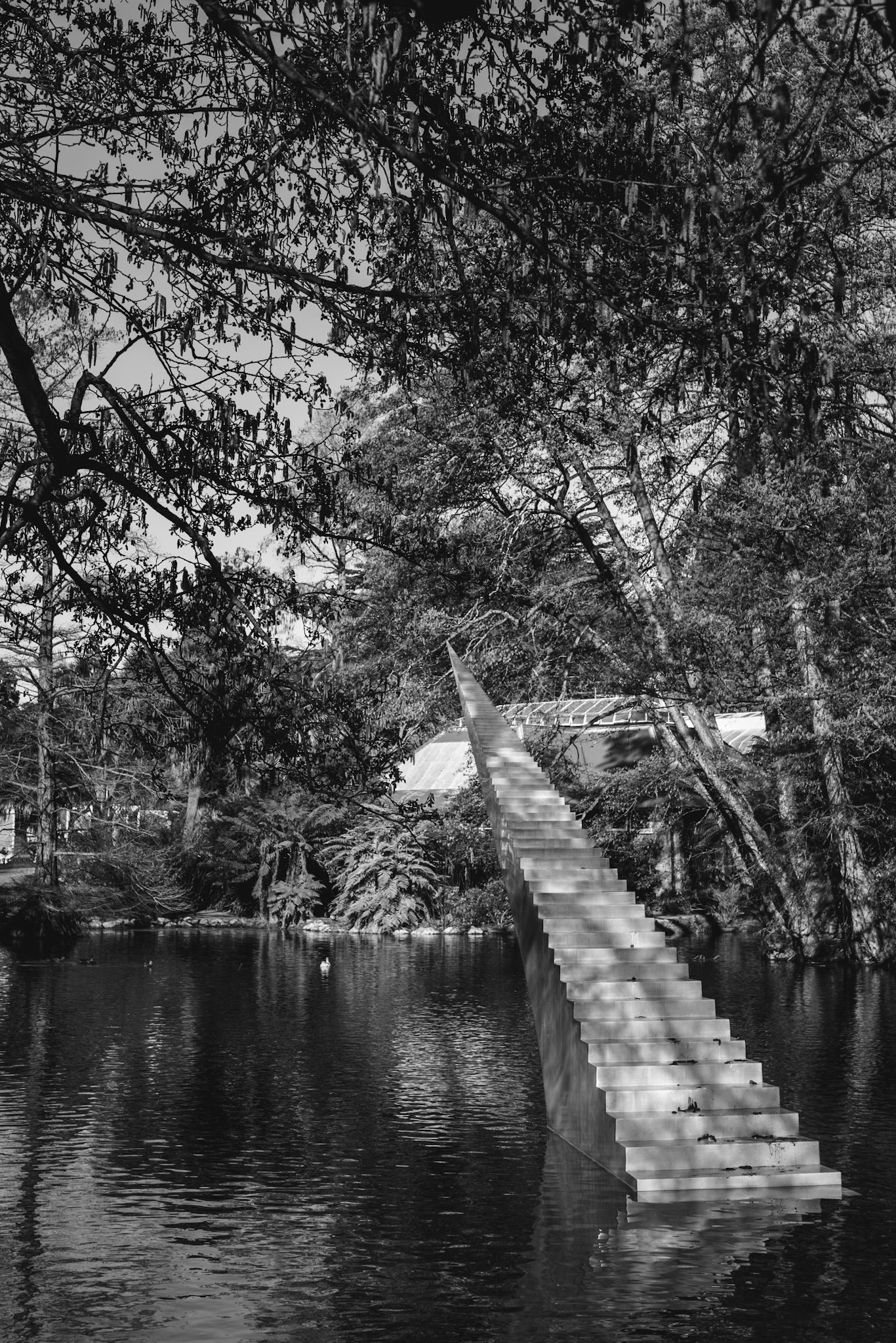
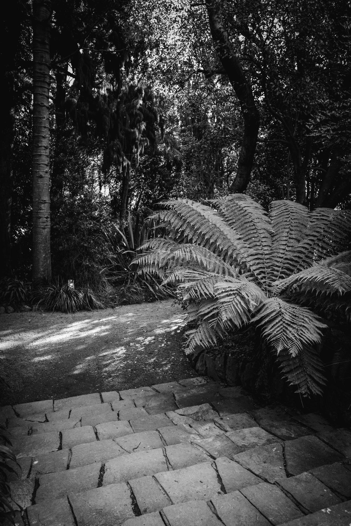
Pathway leading down some steps
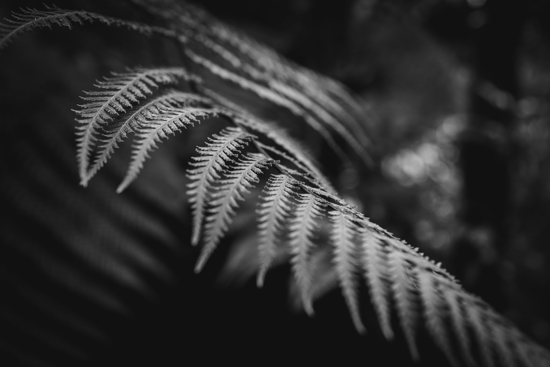
Plant in black and white
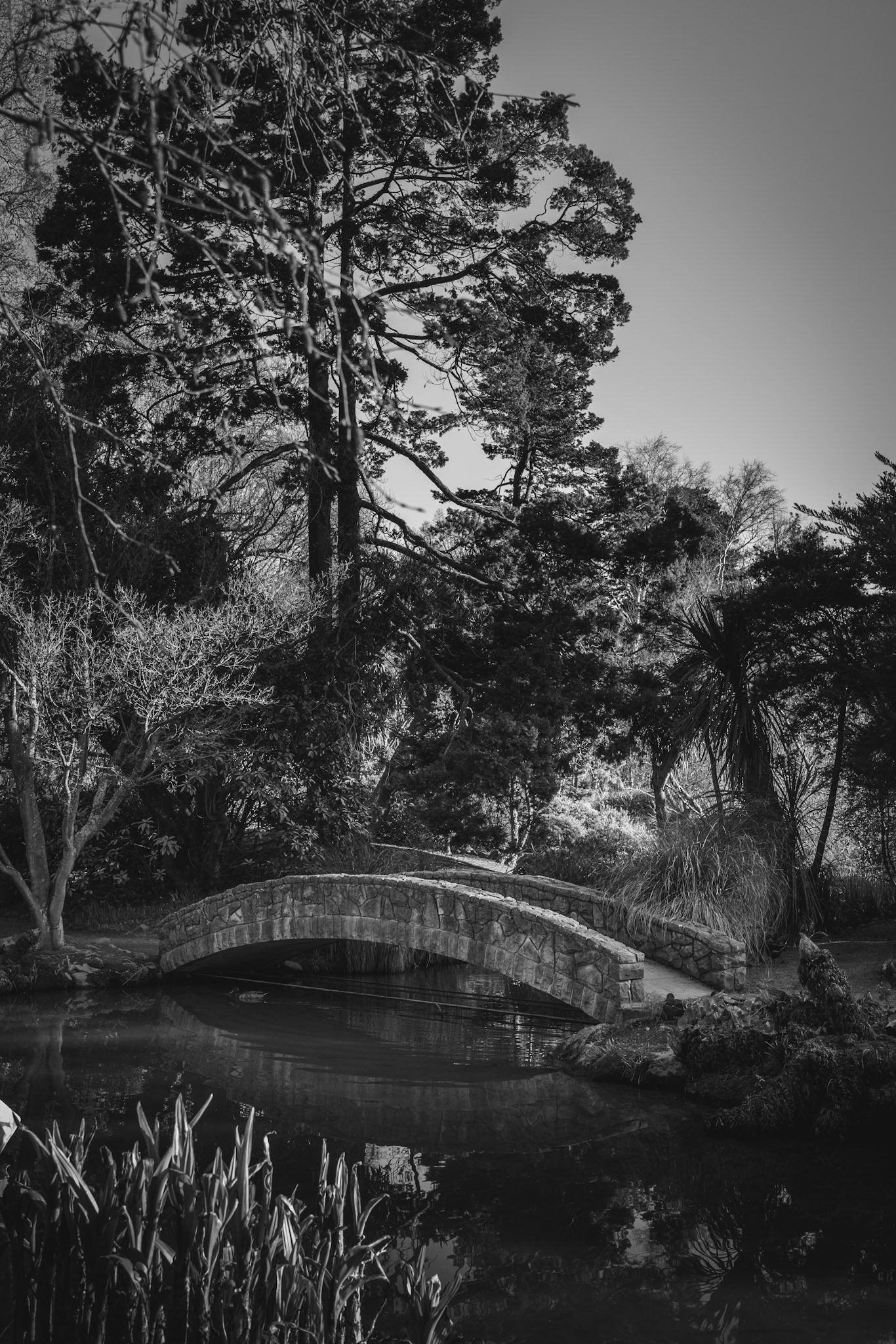
A small stone bridge over some water
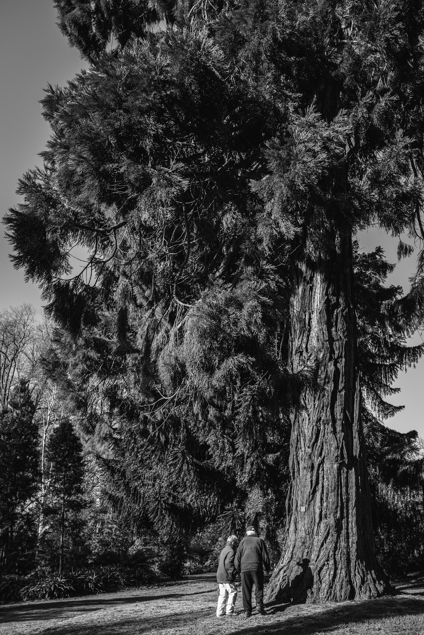
A couple looking at a large tree
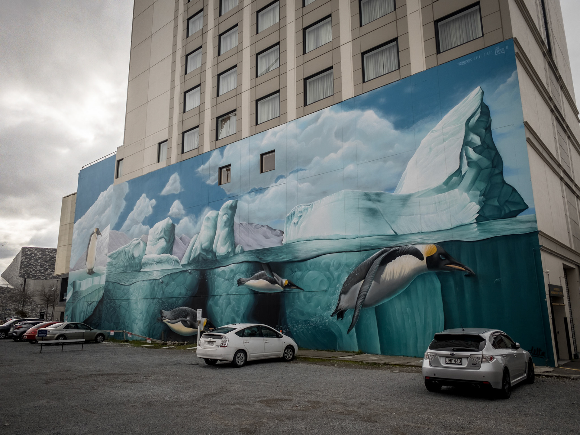
Antarctic Mural in the City Center of Christchurch
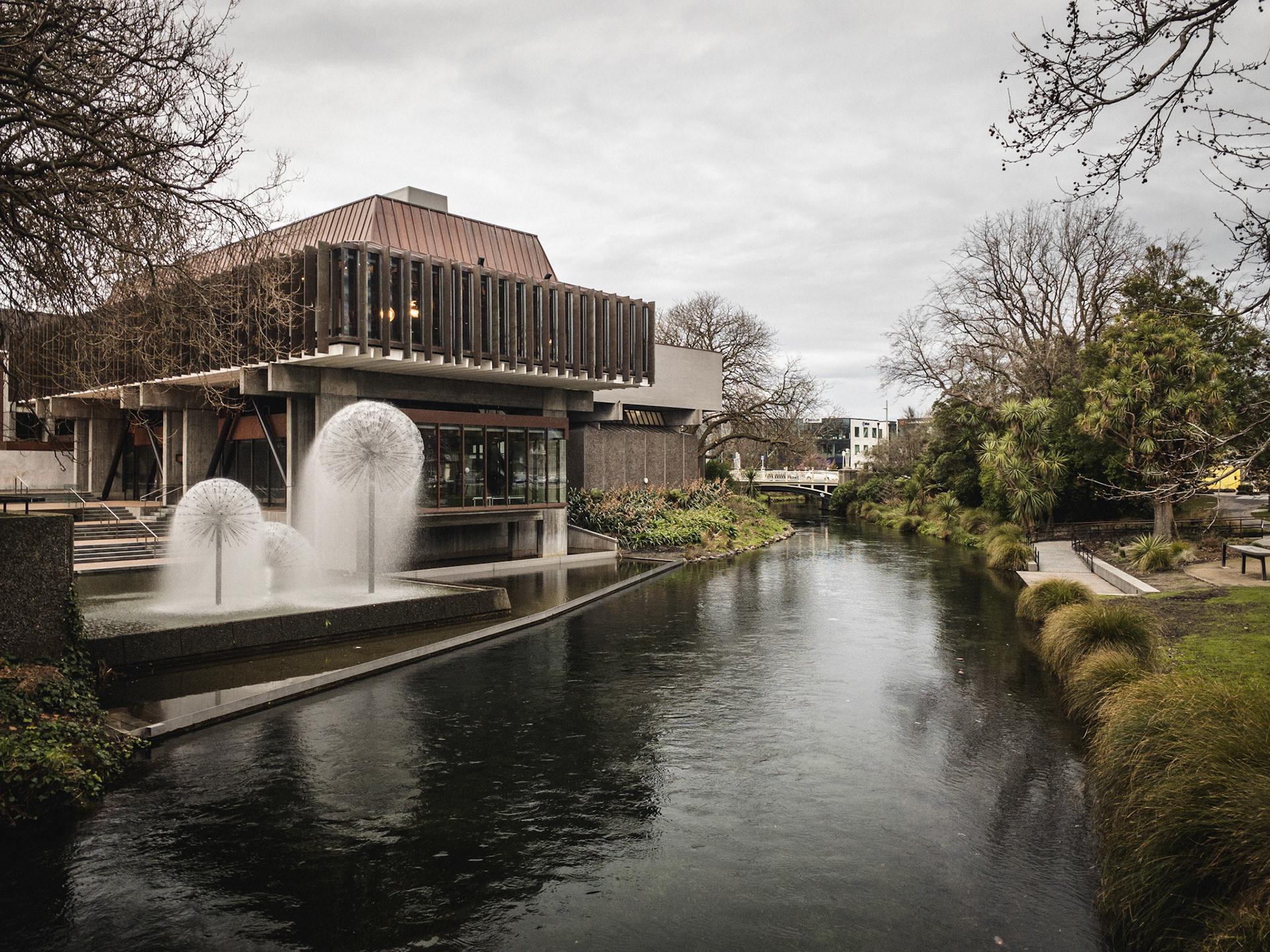
A fountain next to the Avon River in Christchurch
Big Red
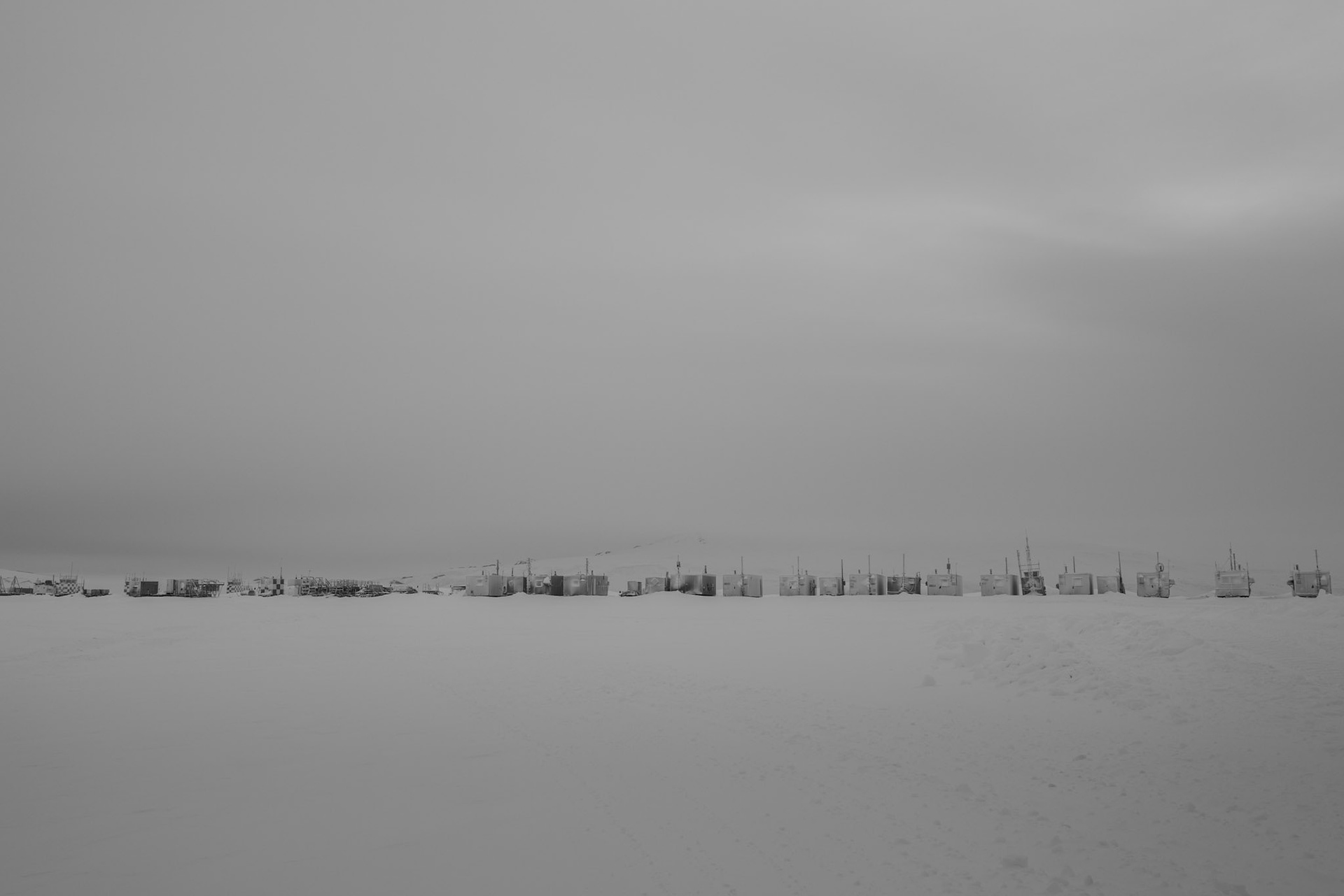
A row of structures, for use in the operation of Willy Field, waiting to be set up for the summer season.
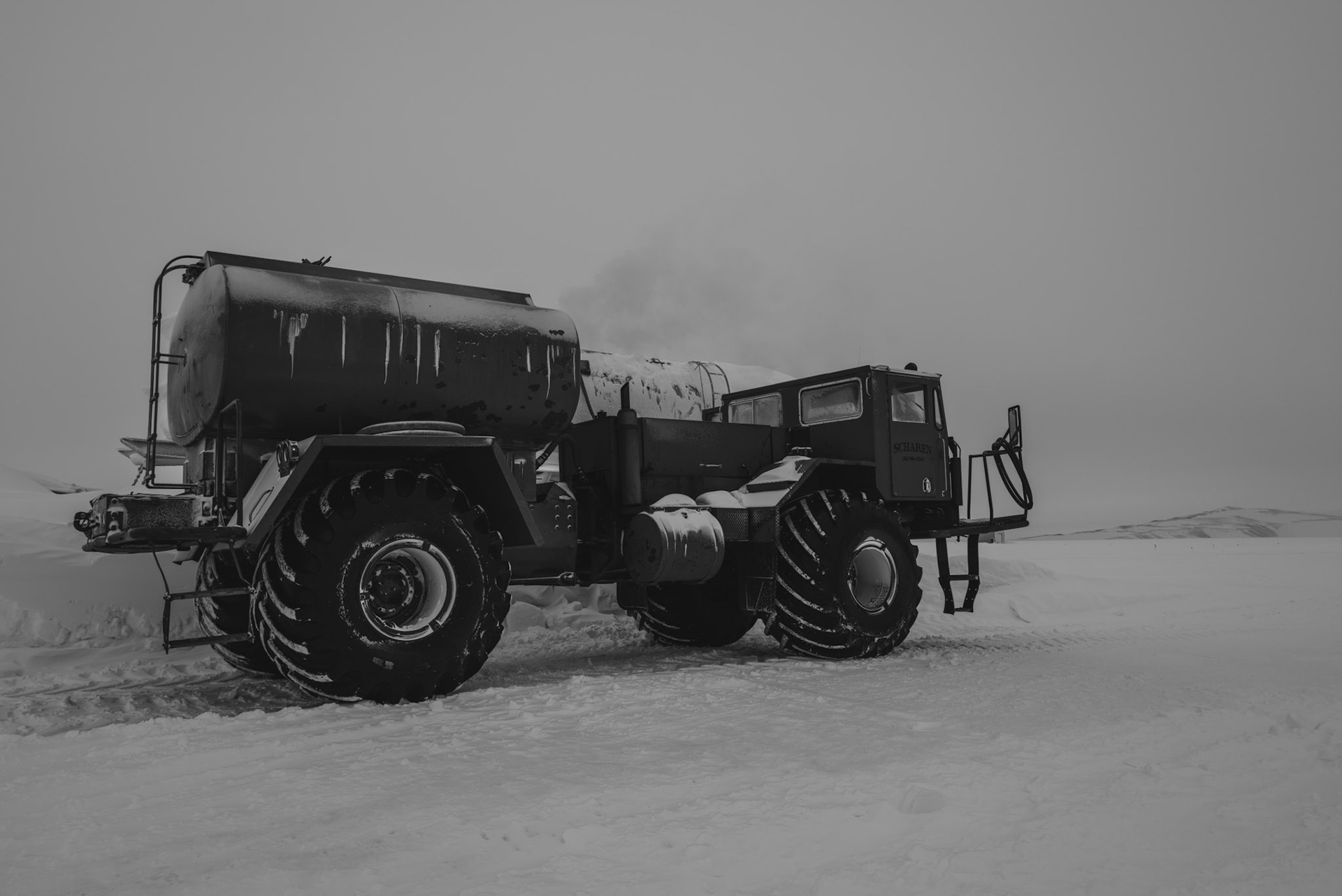
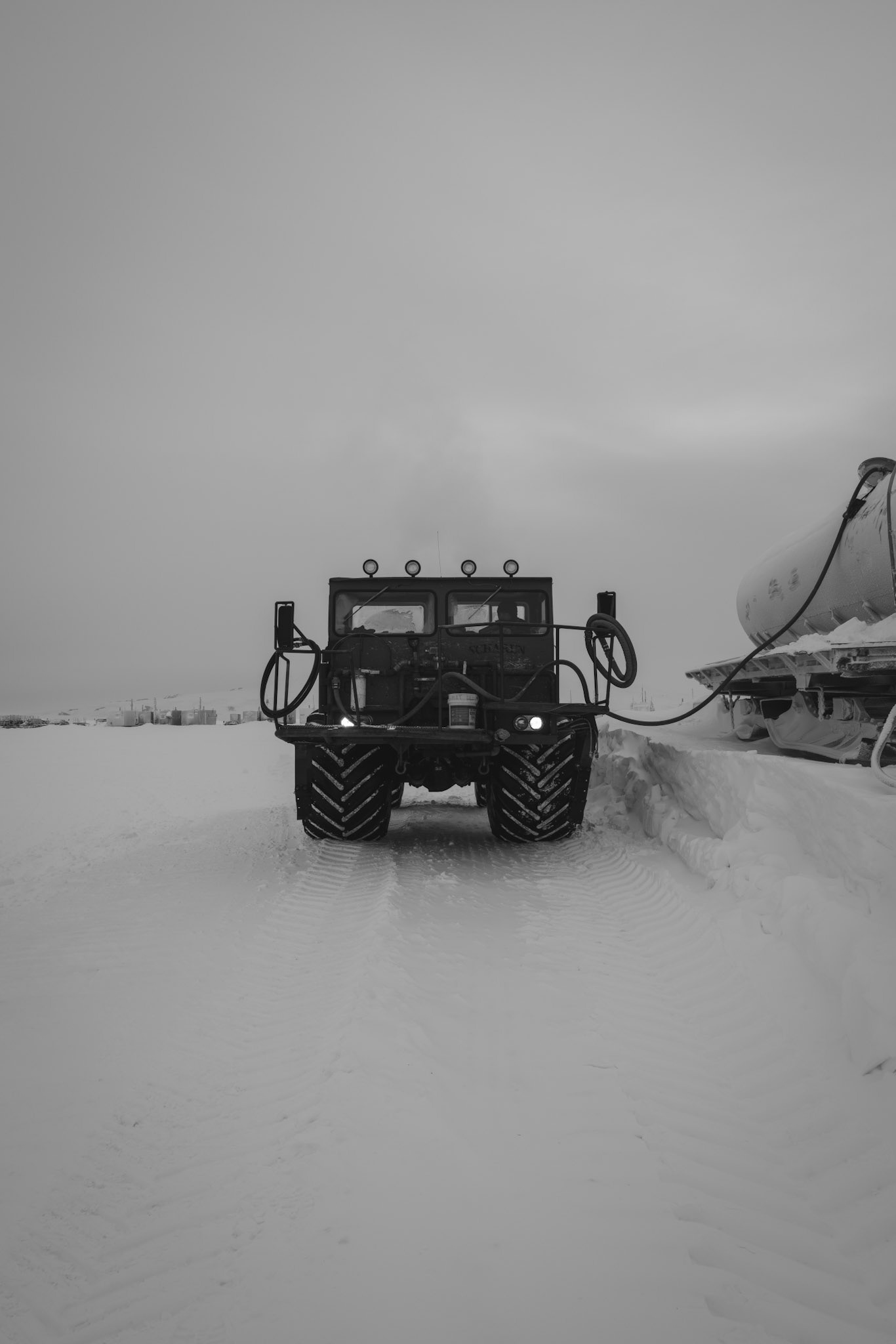
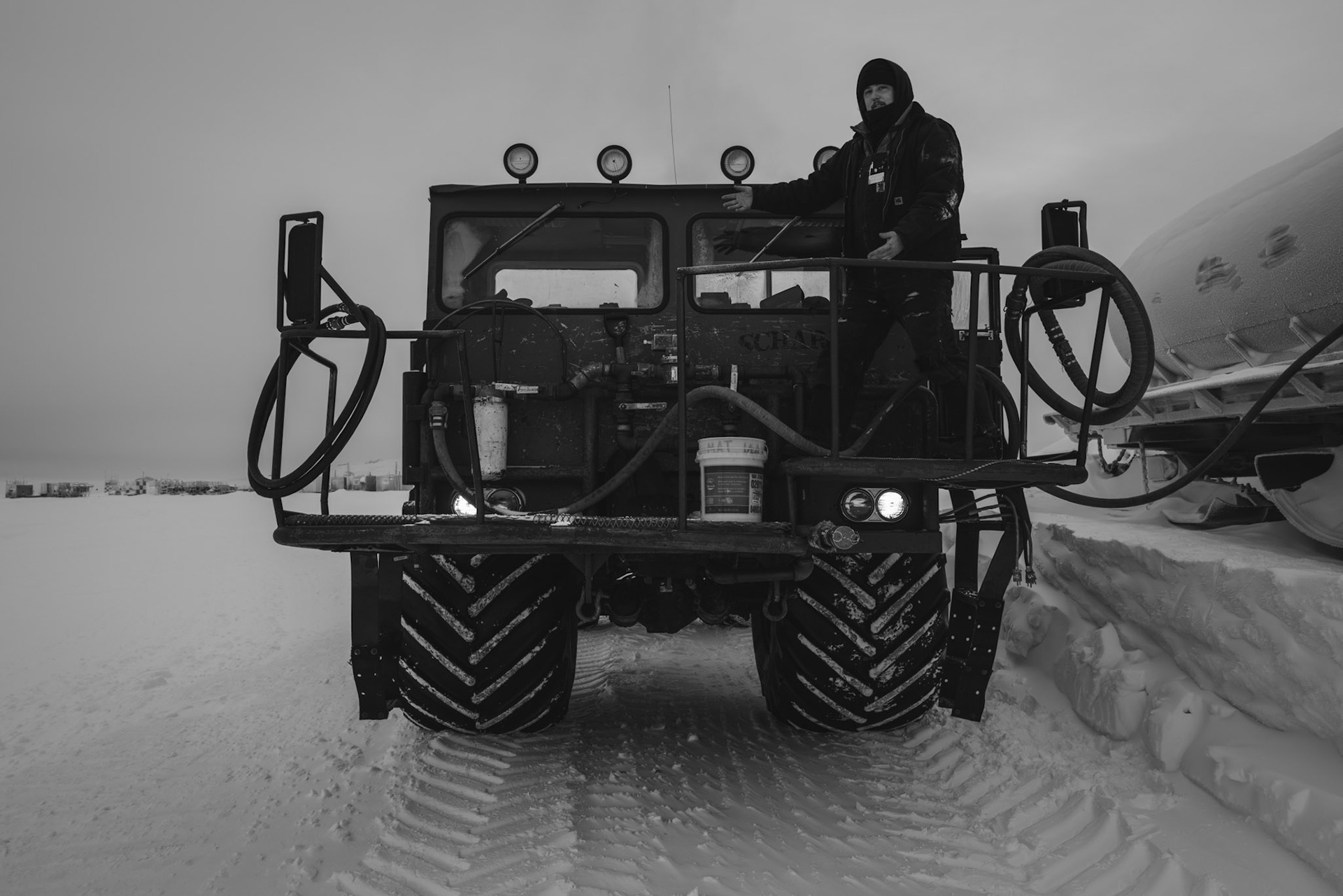
Fueling the day tank at Willy Field during Winfly 2022.
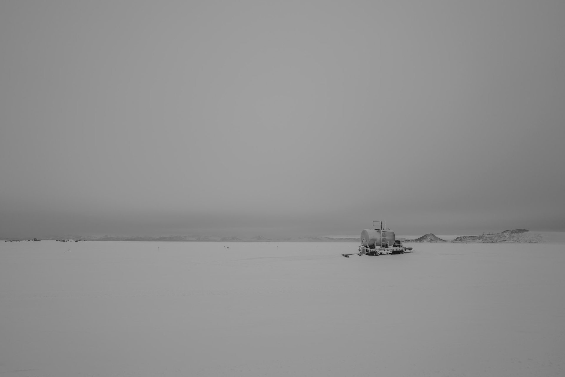
A tank on skis out on the ice at Willy Field in Antarctica.
Fueling the day tank at Willy Field during Winfly 2022.
Fueling the day tank at Willy Field during Winfly 2022.
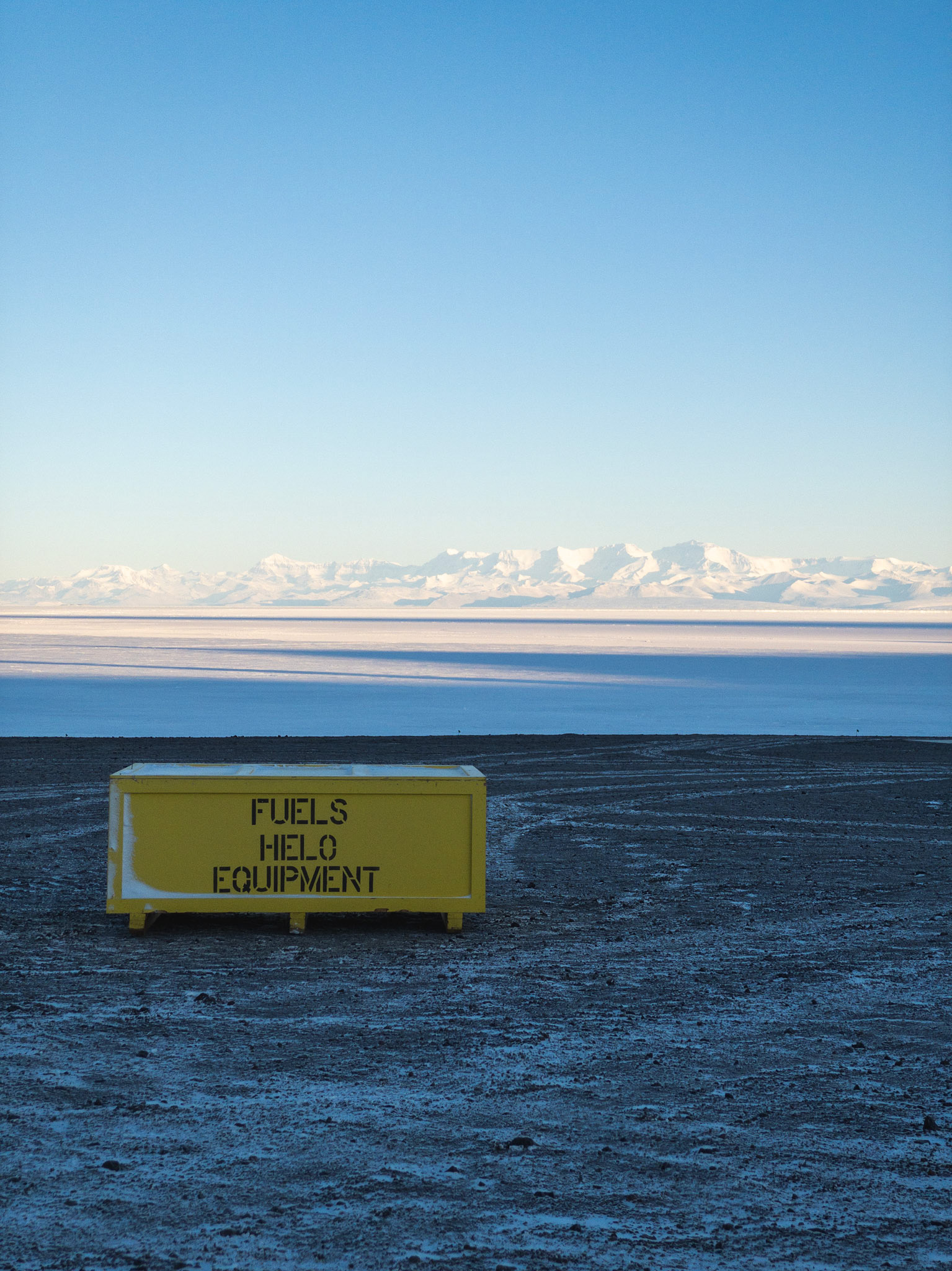
Crate of equipment used for the opening of the McMurdo heliport.
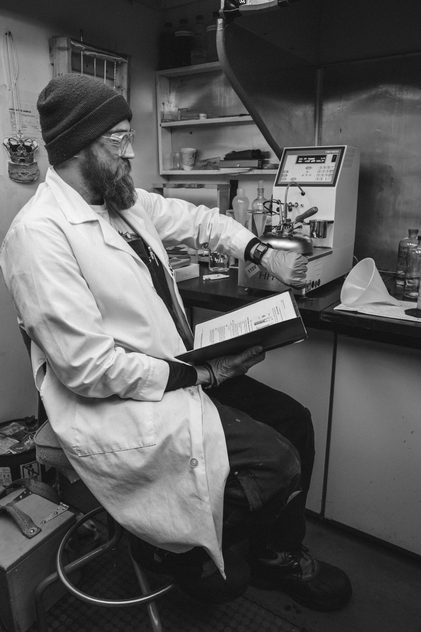
Mikey in the testing lab learning to test fuels.
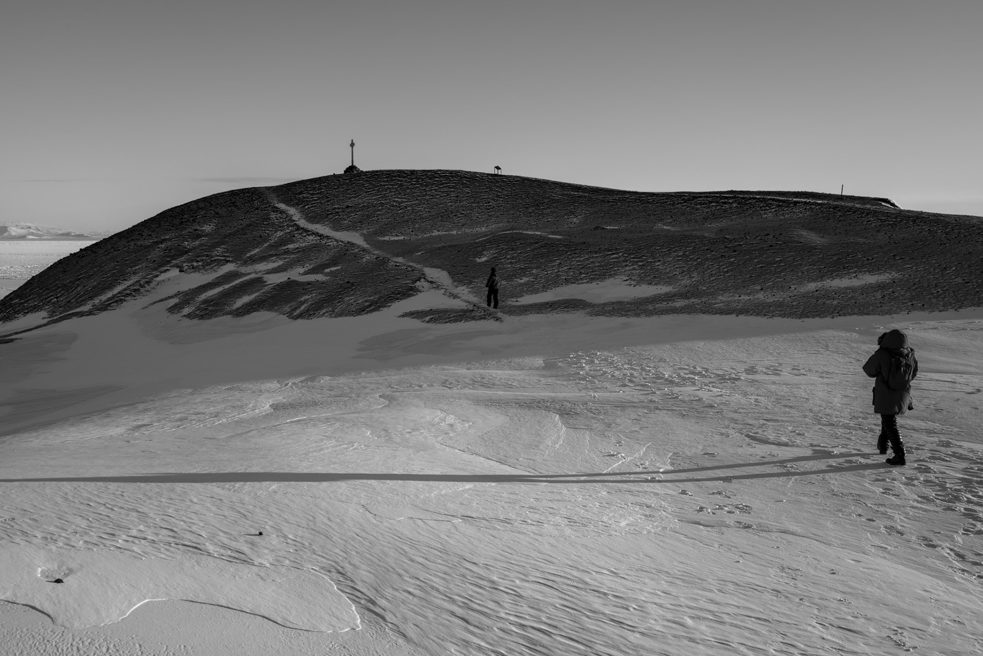
At Hut Point
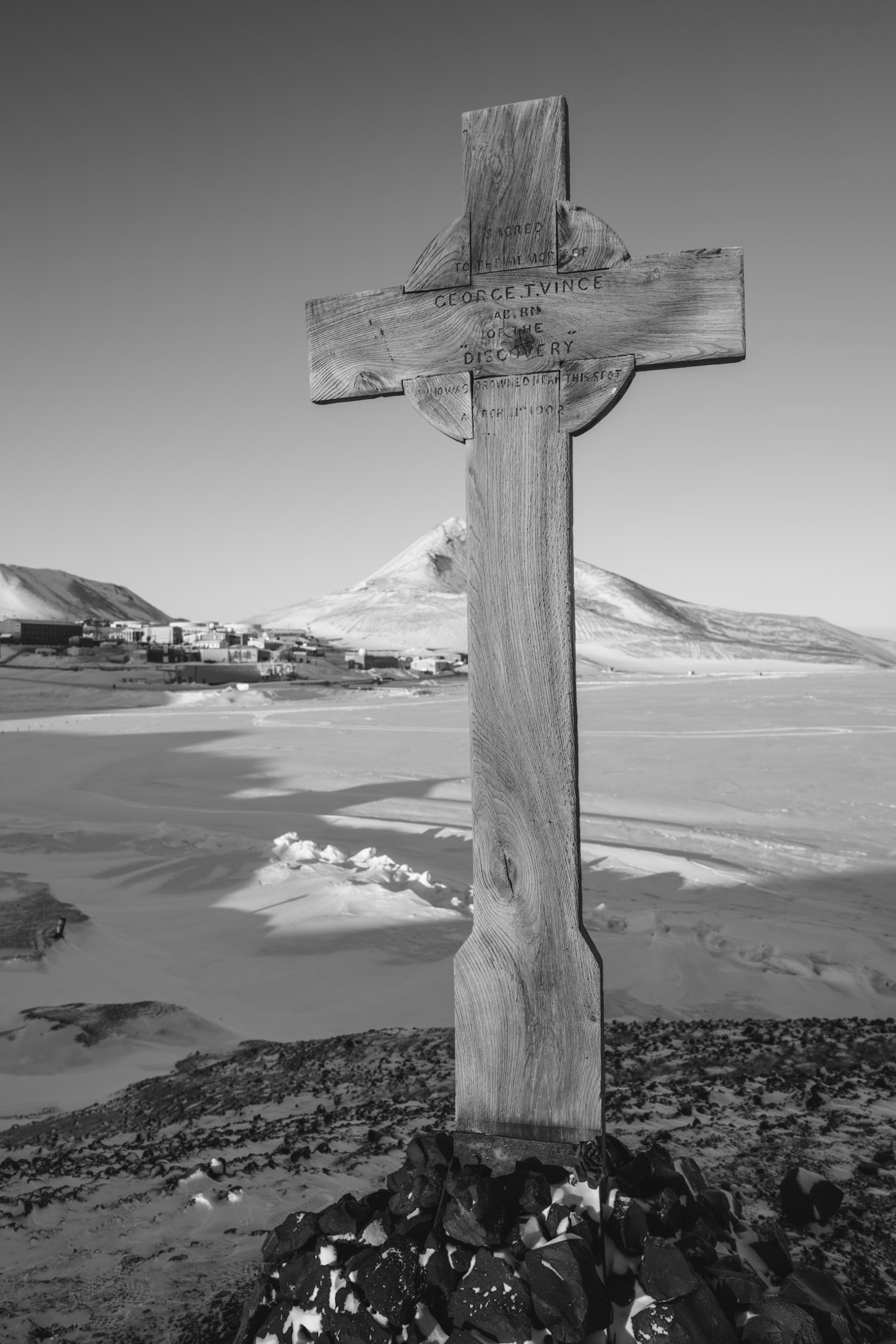
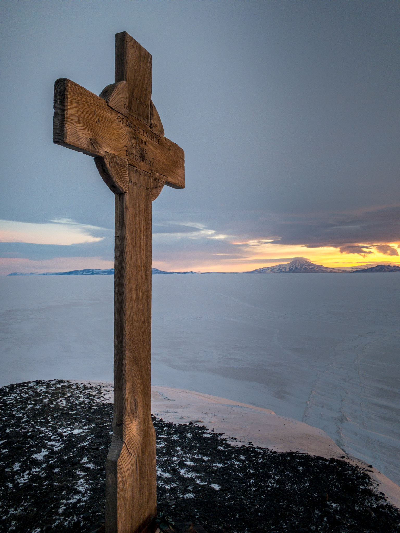
Walking to Vince's Cross at Hut Point
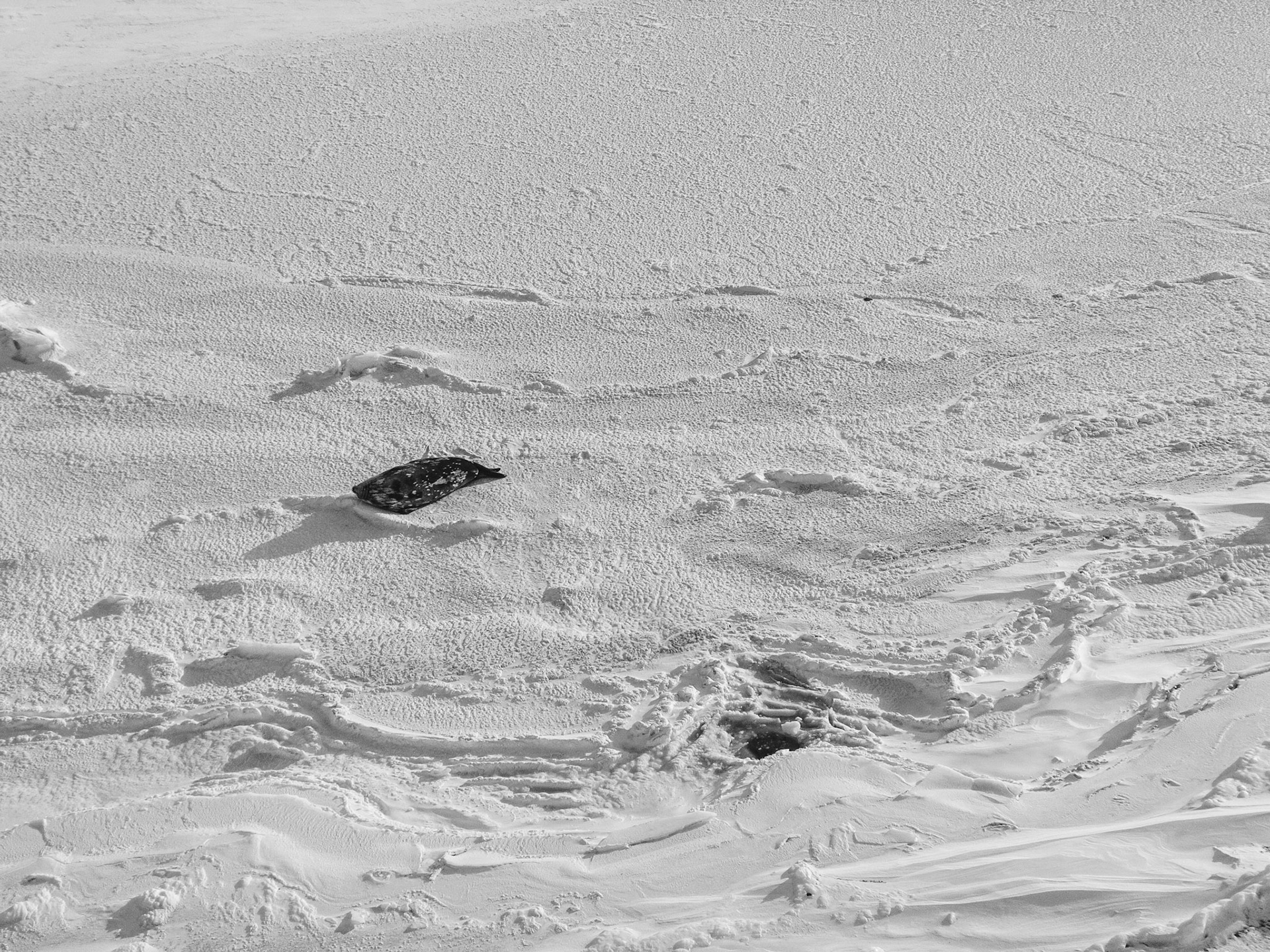
Outline of a seal in the snow
"We have felt that our last act before leaving the region which has been our home for so long should be one of homage to the shipmate who sacrificed his life to our work. We have had a large wooden cross prepared for some time; it bears a simple carved inscription to the memory of poor Vince, and yesterday it was erected on the summit of Hut Point, so firmly that I think in this undecaying climate it will stand for centuries." Robert Falcon Scott, February 16th, 1904
At Hut Point
Hut Point
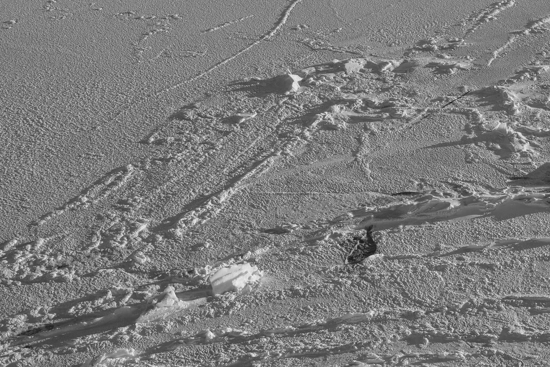
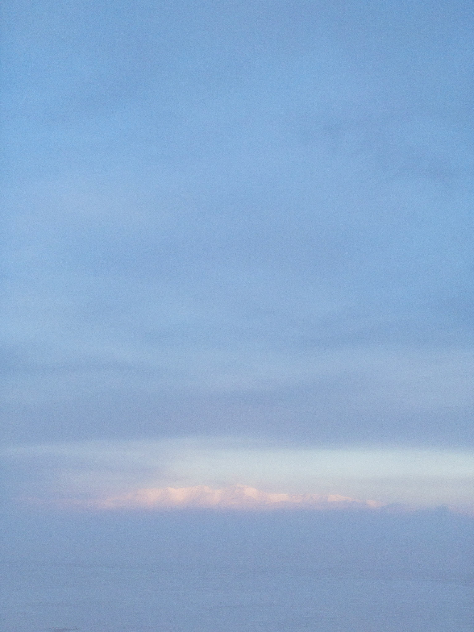
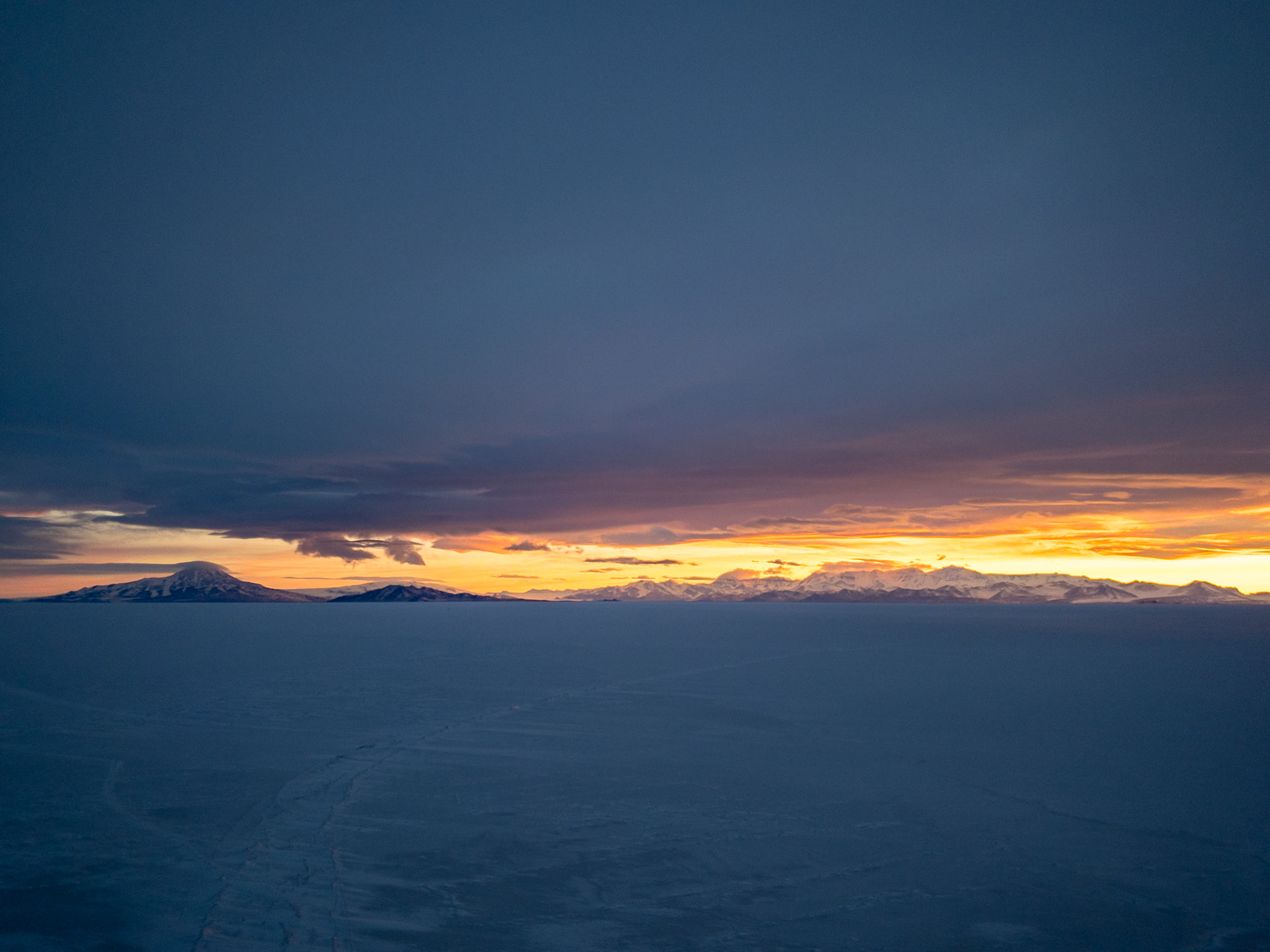
A thick haze over the sea ice blurs out the The Royal Society Range
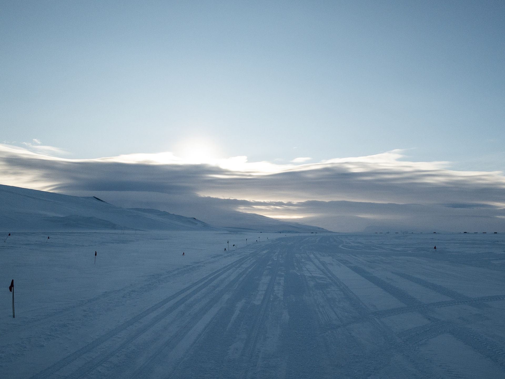
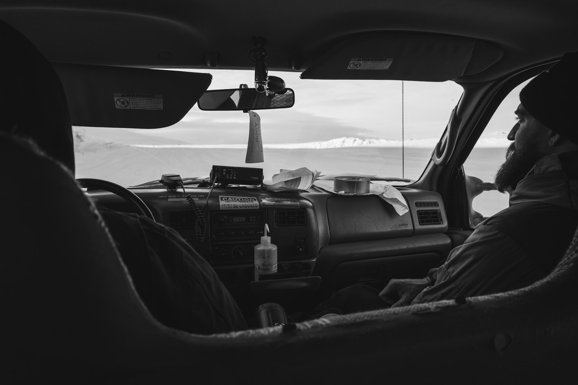
Driving the ice shelf to the runways in Antarctica
In the truck heading to Phoenix Airfield
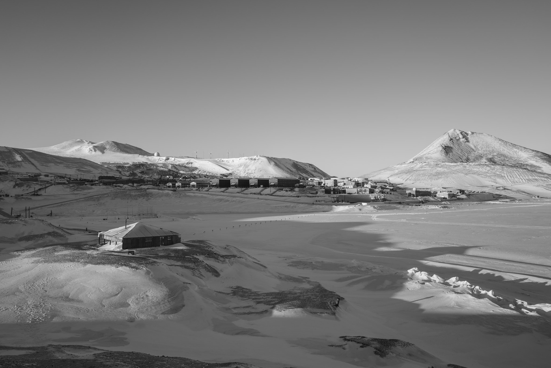
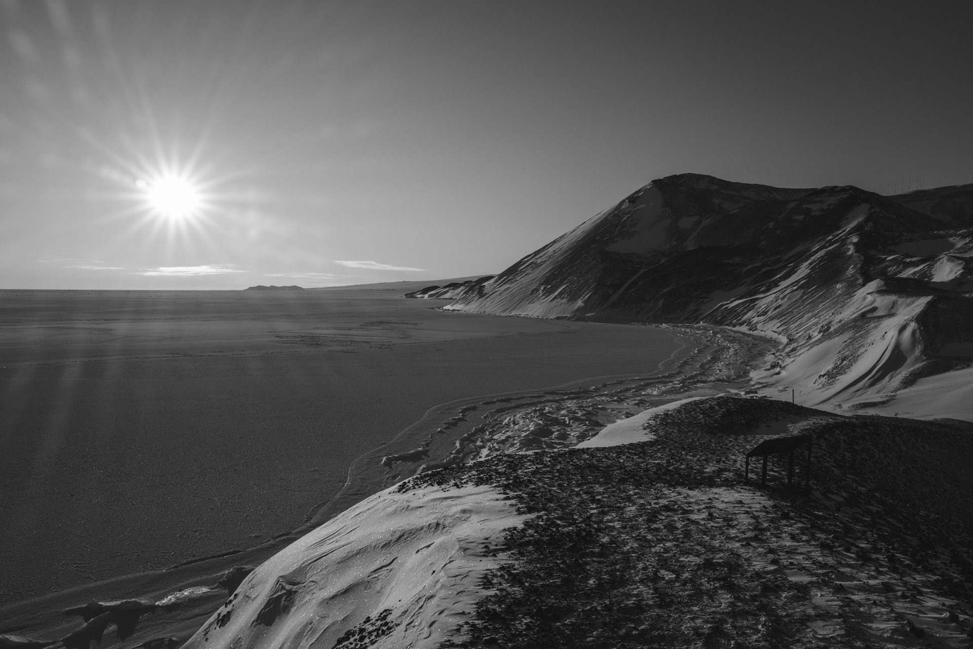
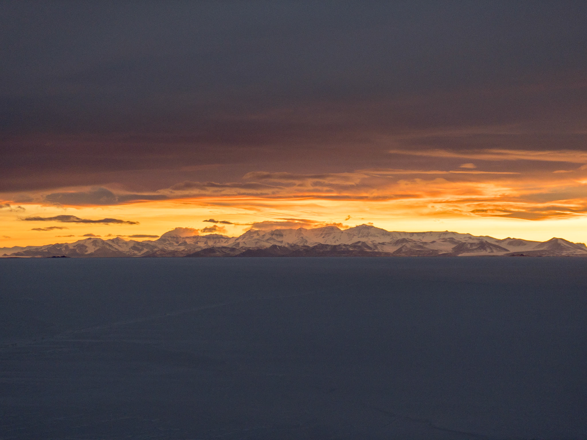
Sunset behind the Royal Society Range viewed from McMurdo
Out on a sunet walk to Hut Point
"We have felt that our last act before leaving the region which has been our home for so long should be one of homage to the shipmate who sacrificed his life to our work. We have had a large wooden cross prepared for some time; it bears a simple carved inscription to the memory of poor Vince, and yesterday it was erected on the summit of Hut Point, so firmly that I think in this undecaying climate it will stand for centuries." Robert Falcon Scott, February 16th, 1904
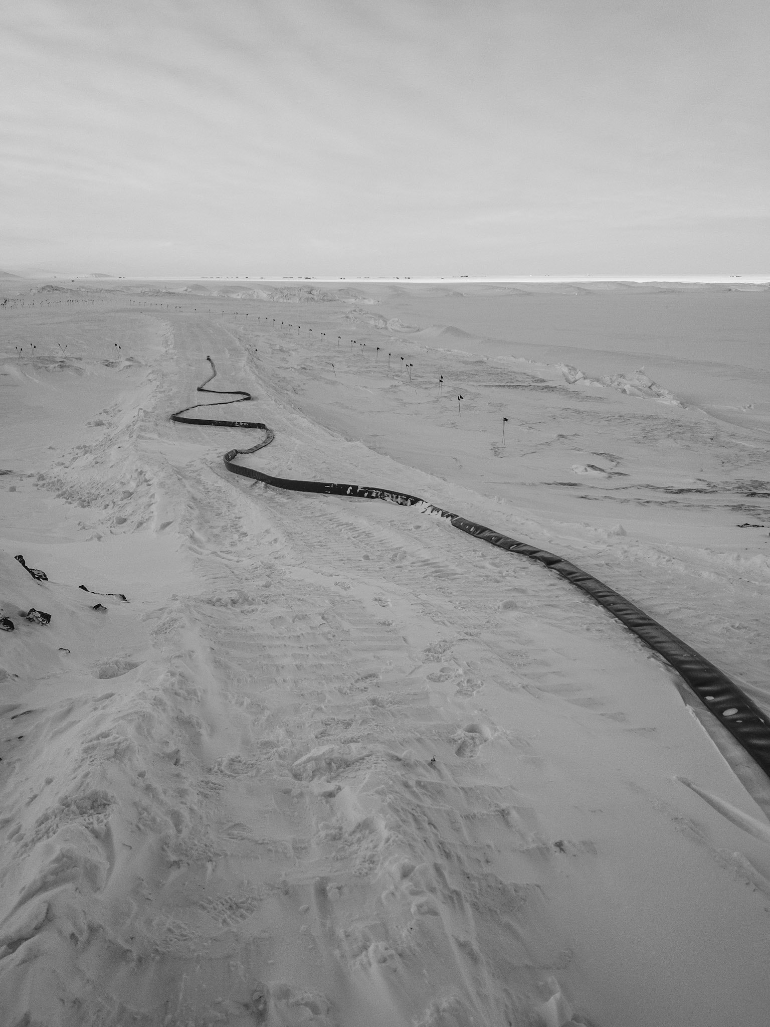
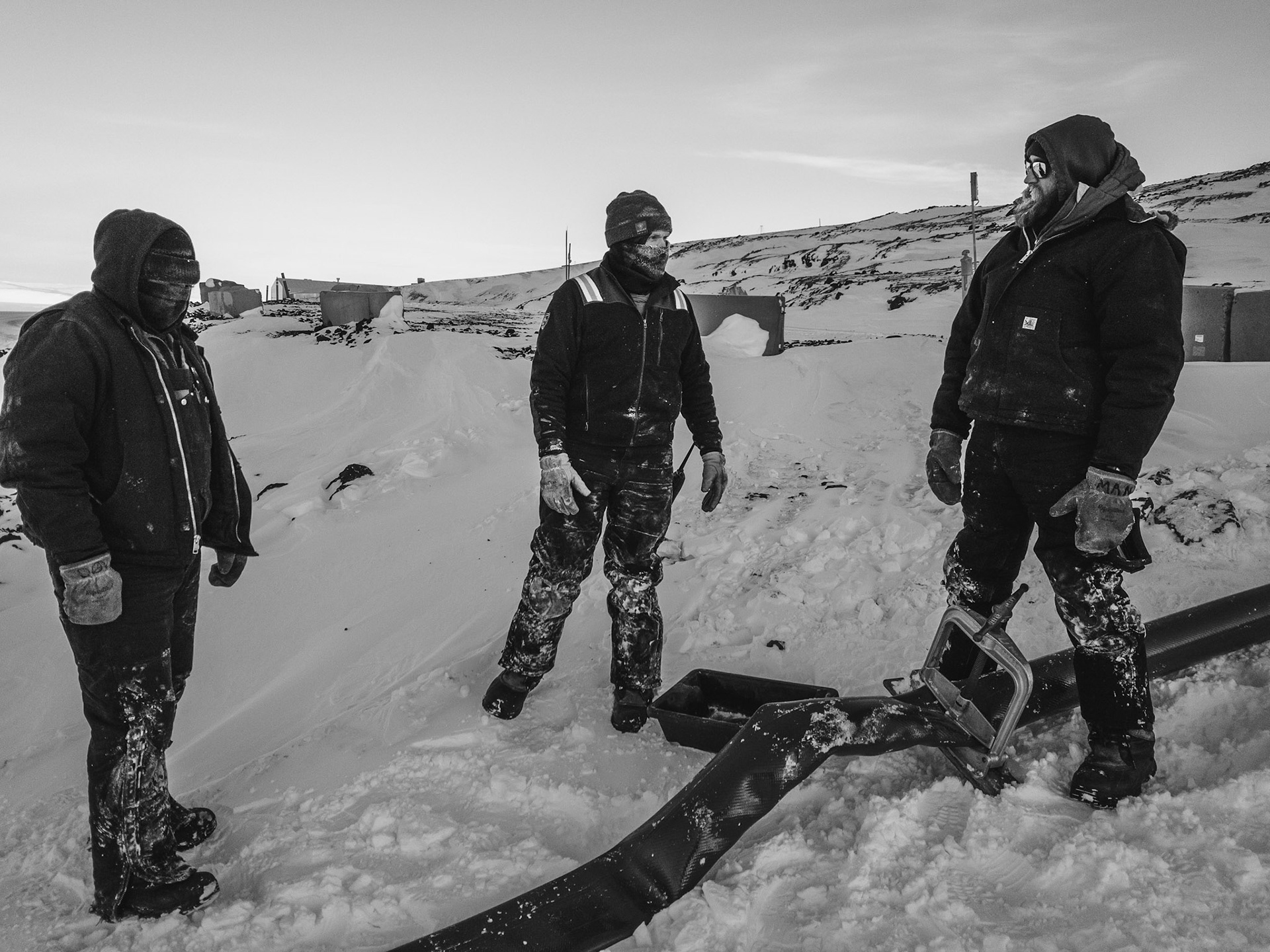
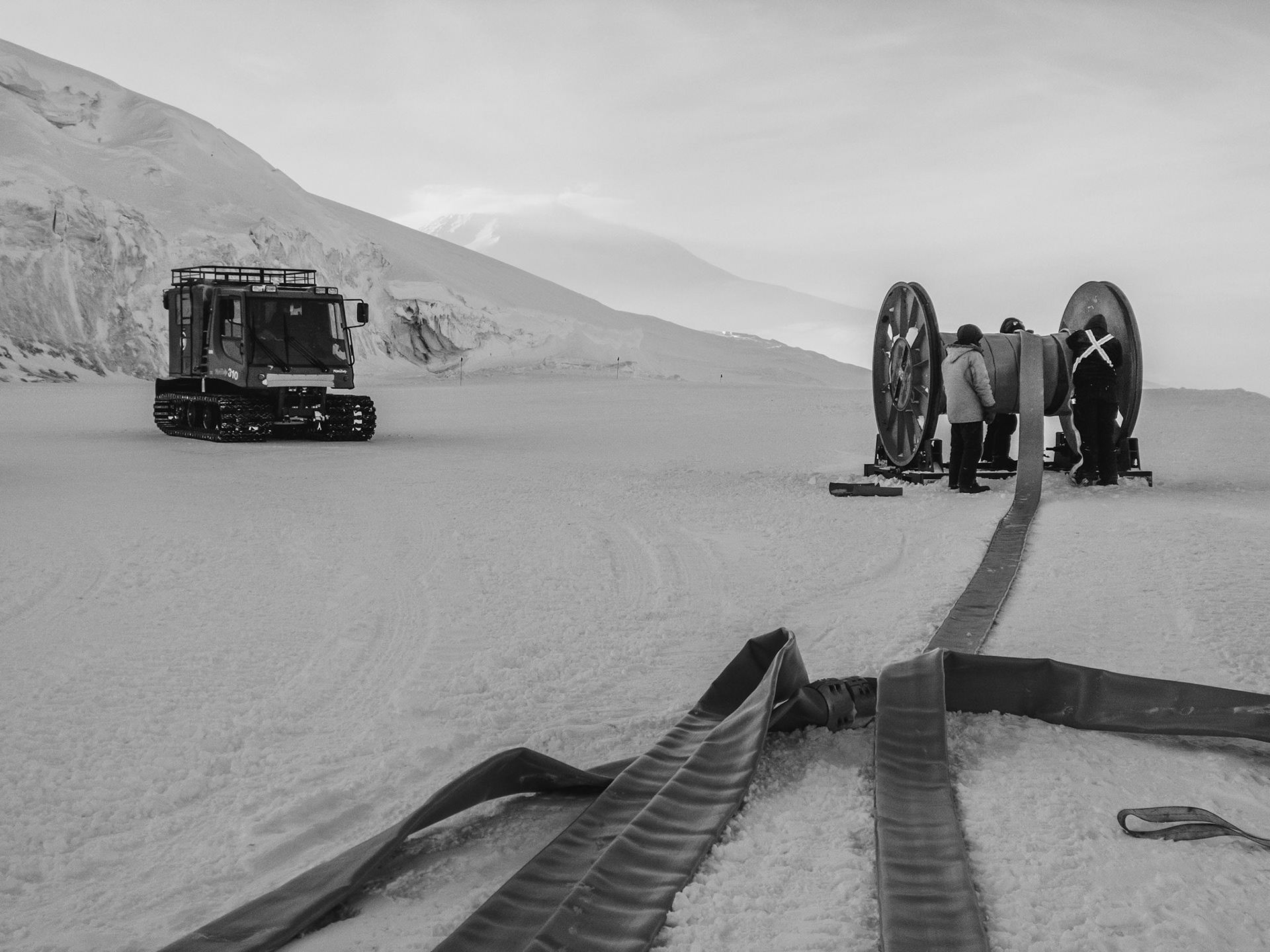
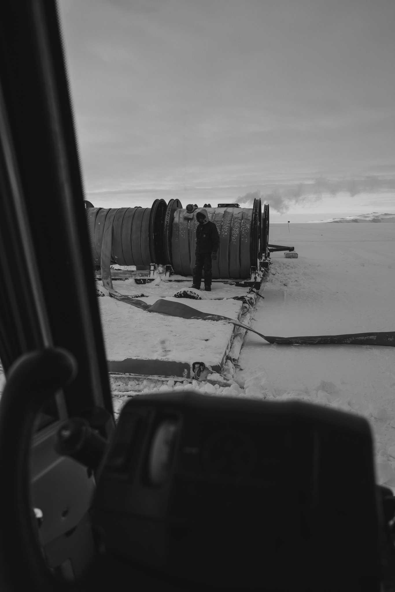
Starting of the Pipeline at the Transition
Starting of the Pipeline at the Transition
Starting of the Pipeline at the Transition
Starting of the Pipeline at the Transition
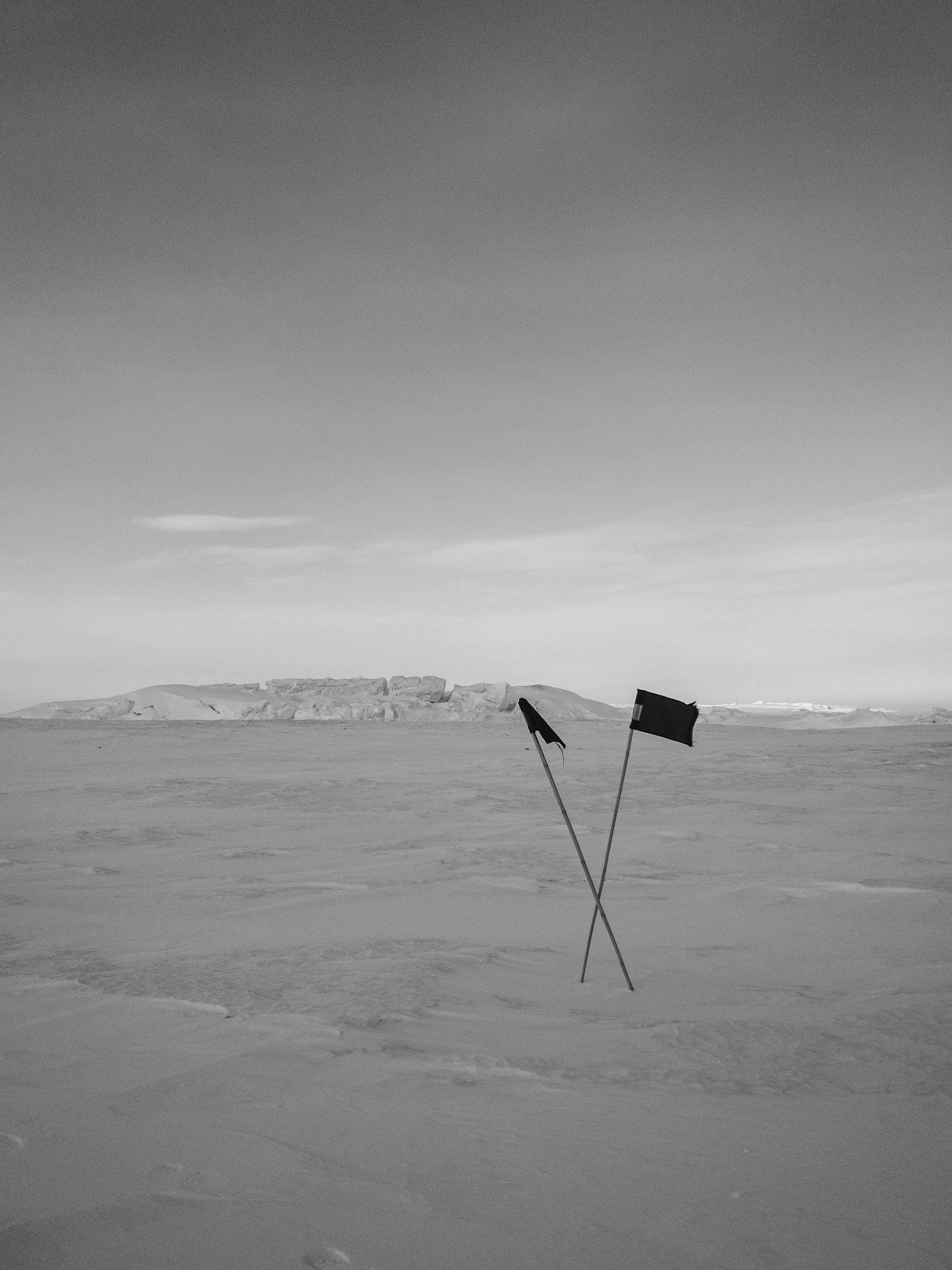
Black flags indicating where not to walk
Starting of the Pipeline at the Transition
A seal out laying on the sea ice near Scott's Hut at Hut Point
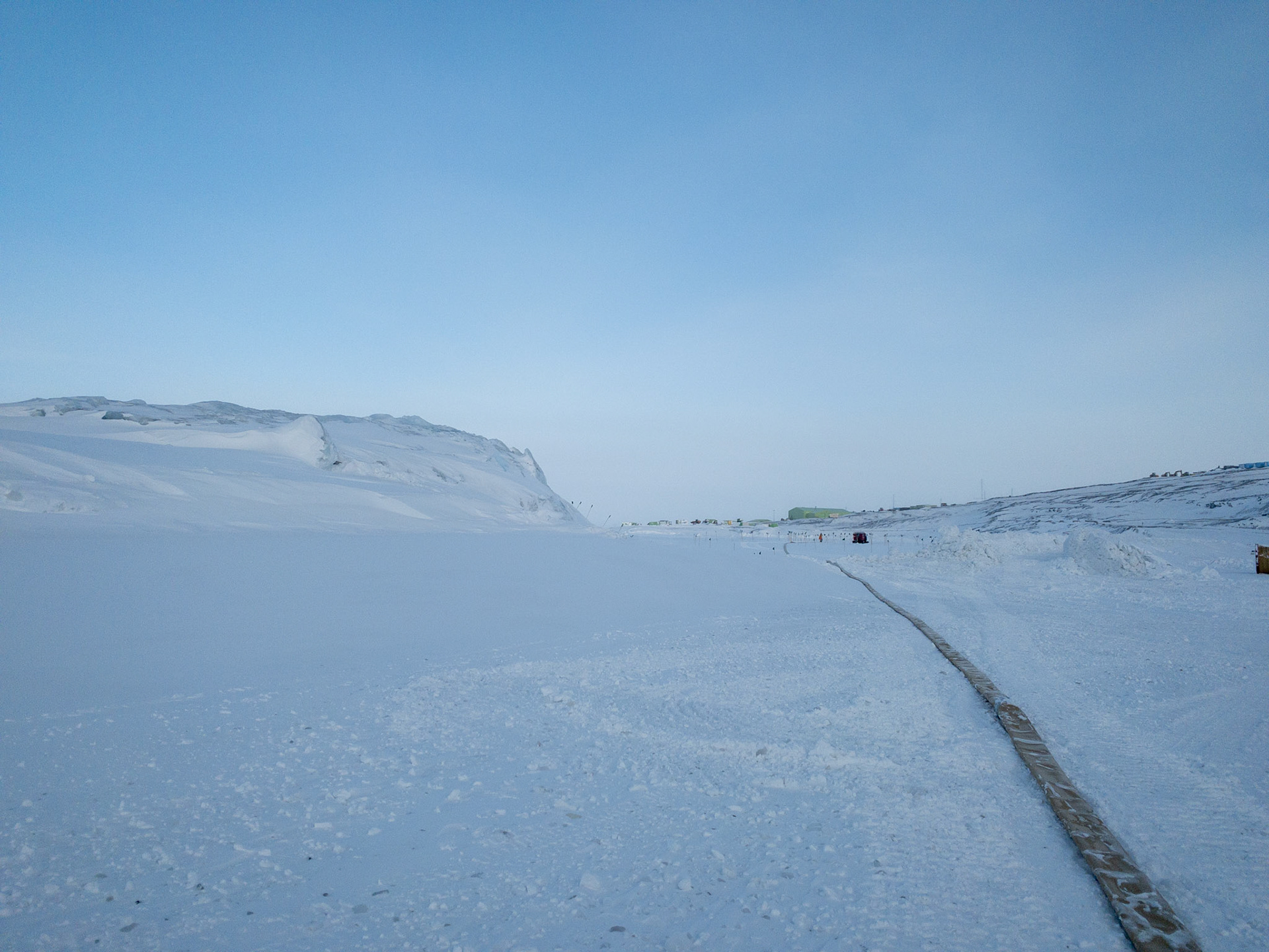
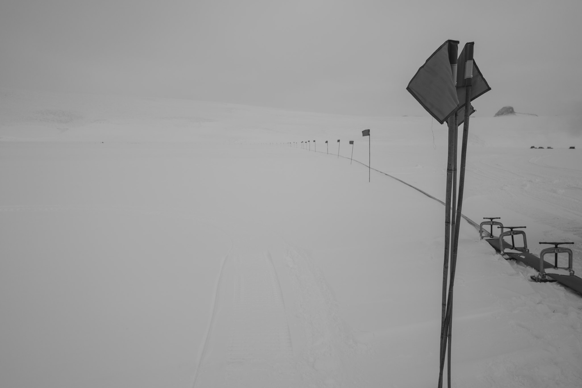
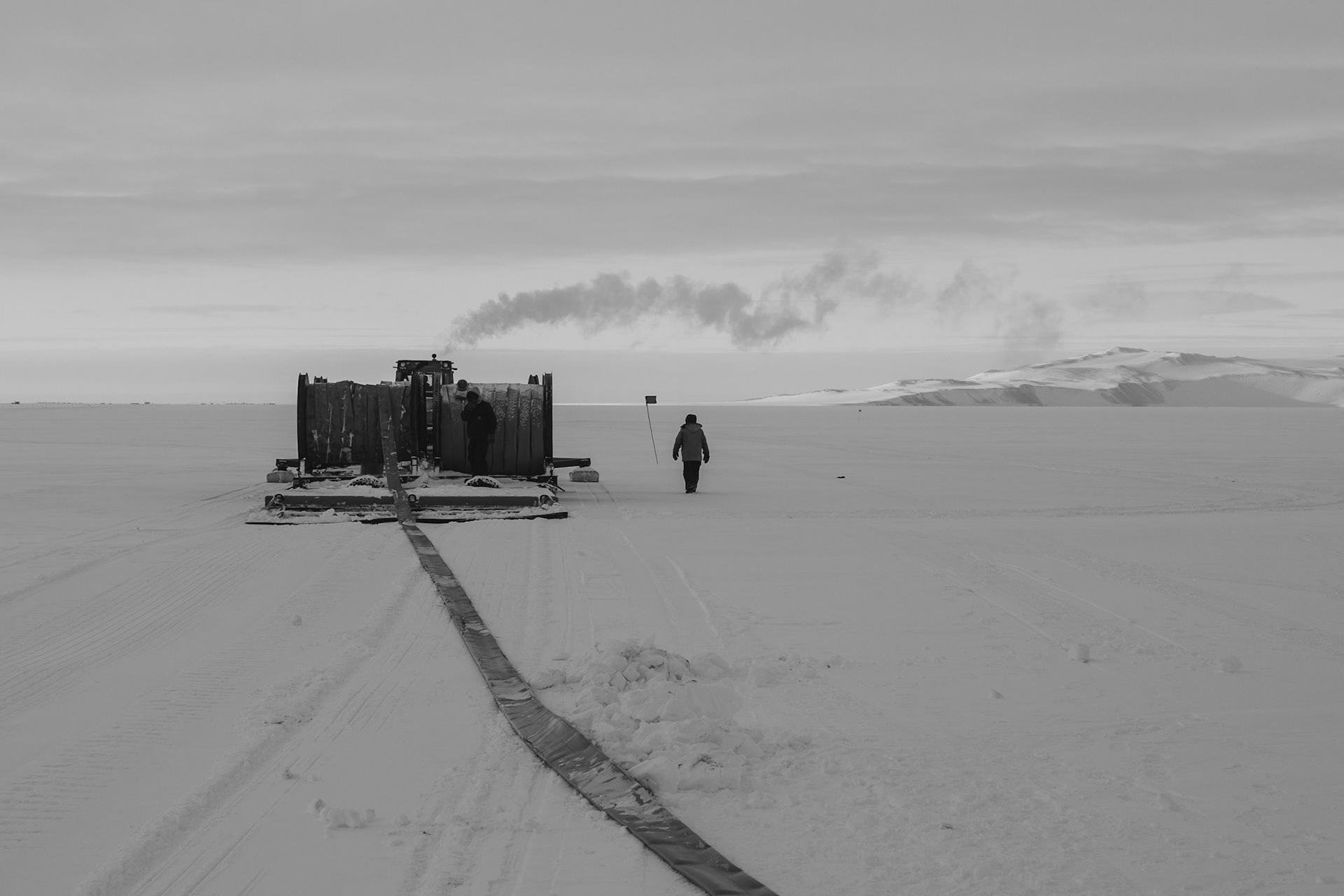
Blue flags planted along the seasonal fuel pipeline out to Willy Field
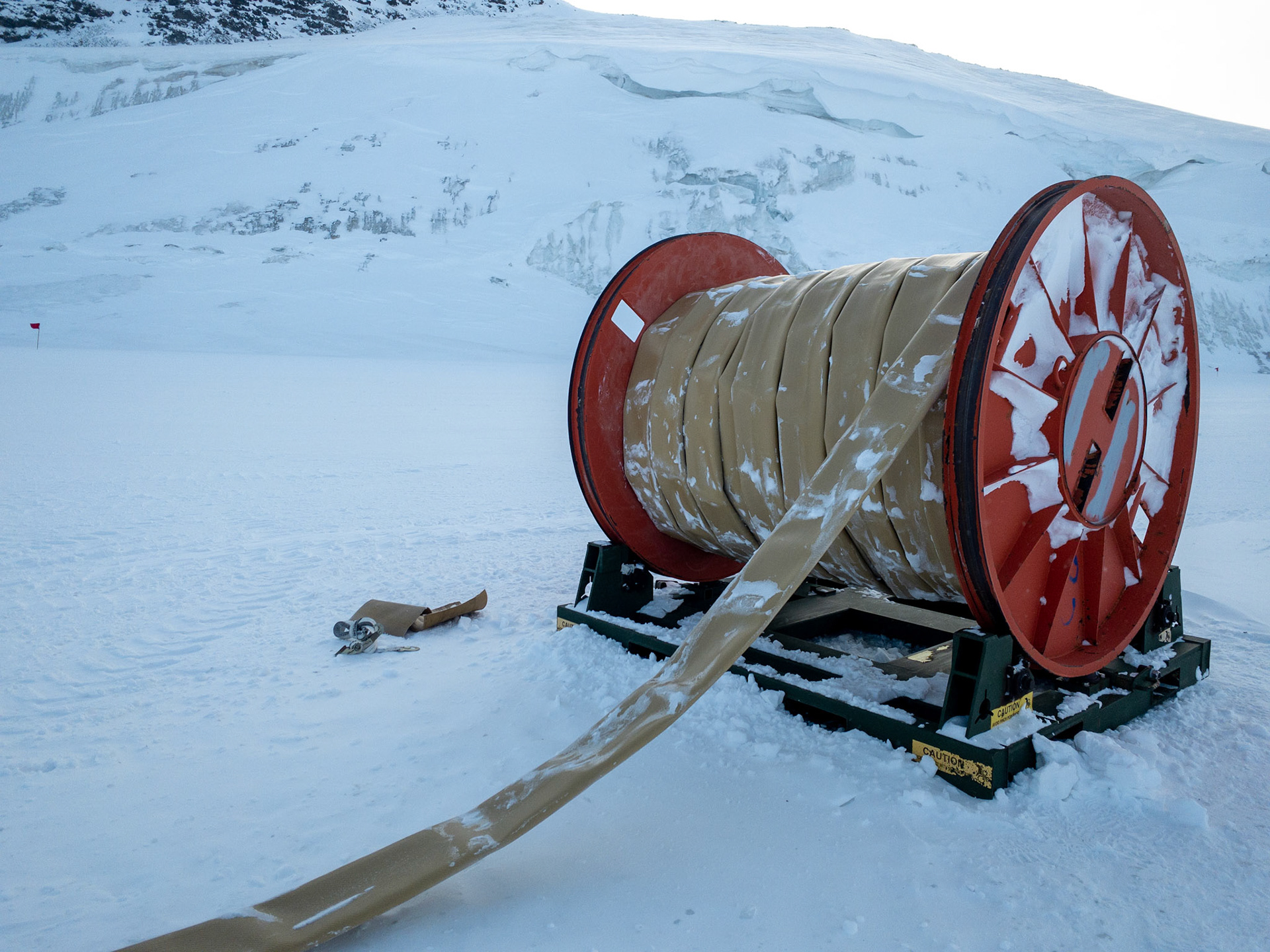
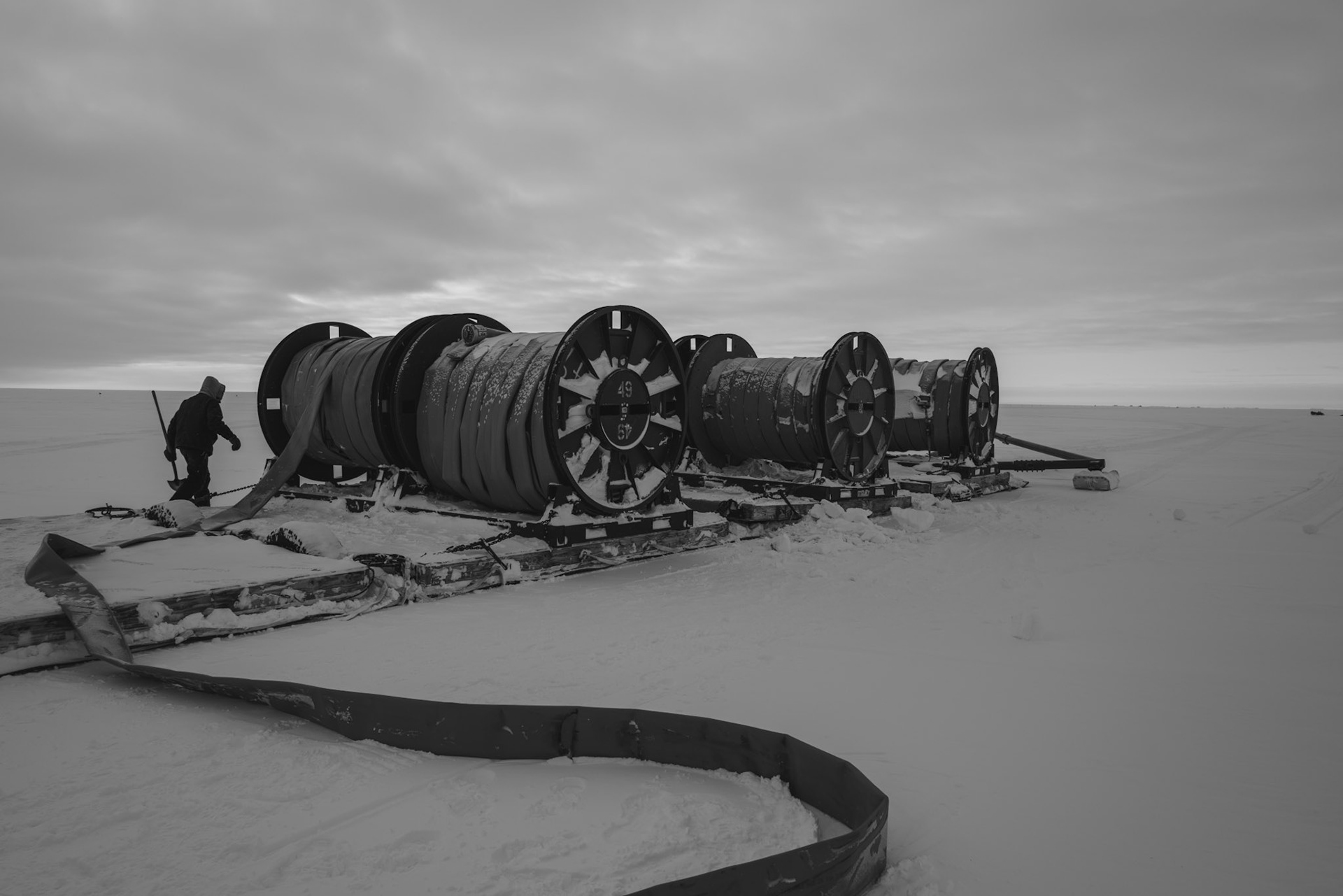
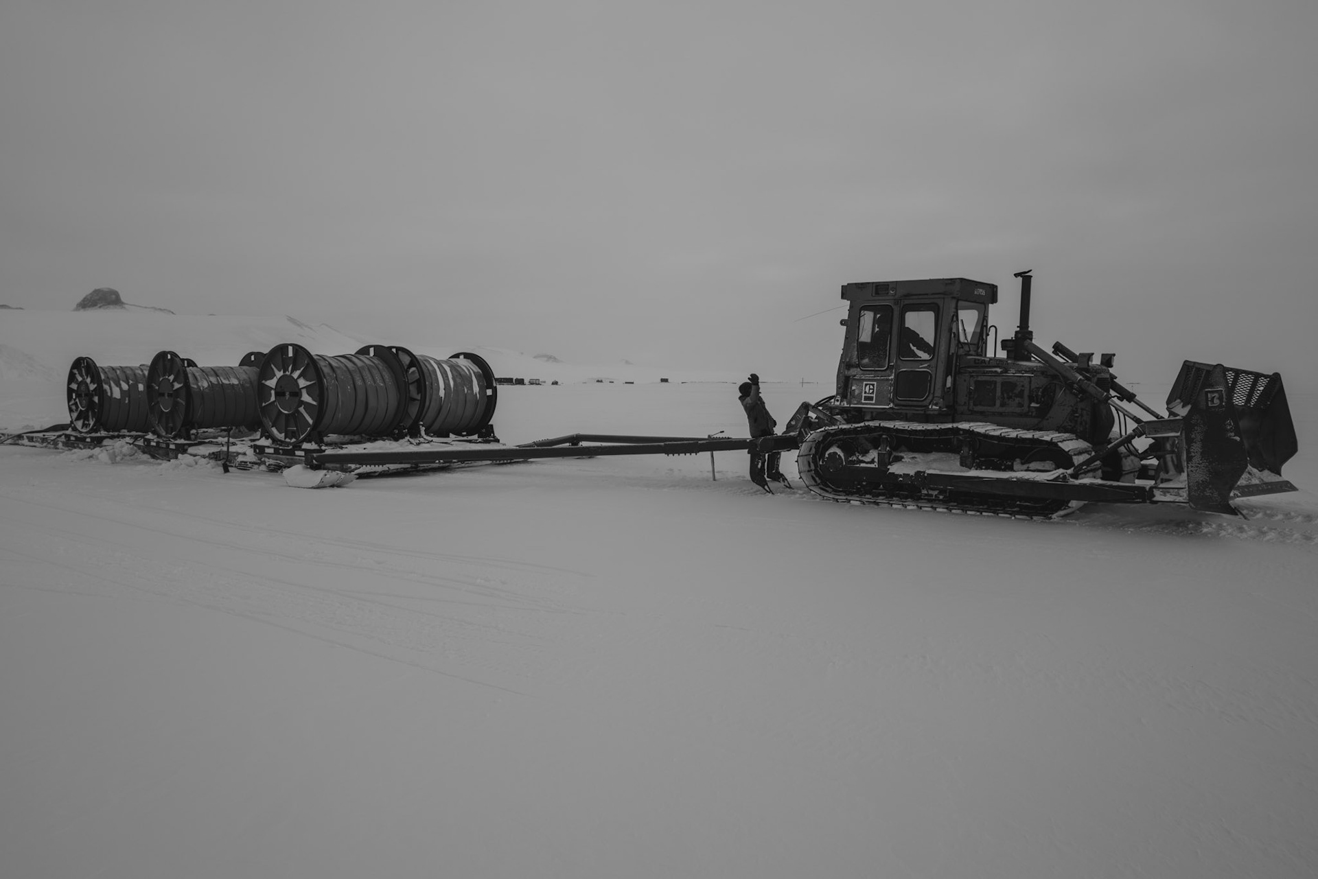
6 spools of hose ready to be laid on the ice shelf and out to Williams Field
6 spools of hose ready to be laid on the ice shelf and out to Williams Field
Laying hose for the pieline to Williams Field
Laying hose for the pieline to Williams Field
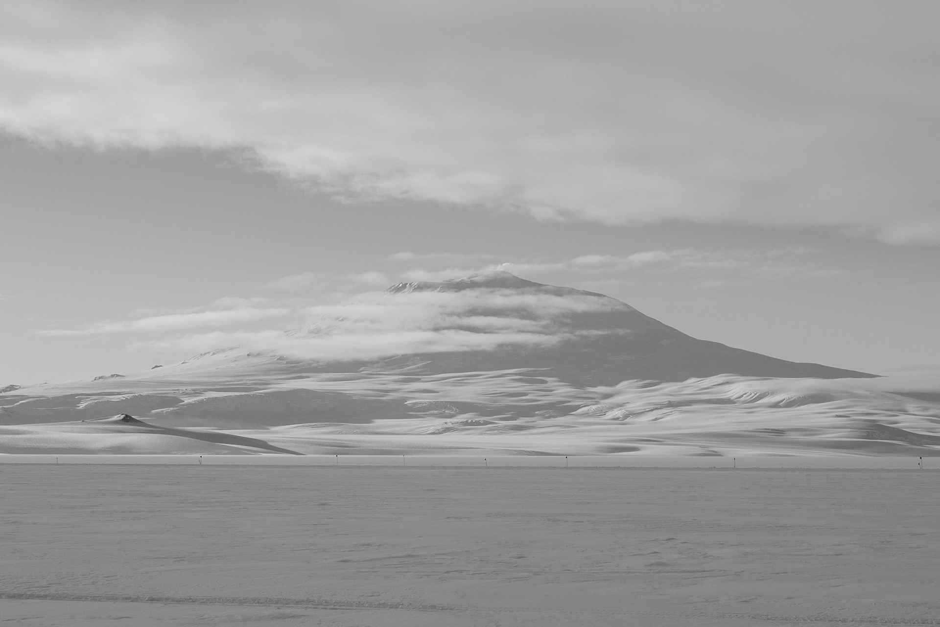
Mount Erebus with a little smoke at the top. On the ice shelf laying hose to Willy Field.